Thanks ABraun !!!
Hi all
I have an question
Exist one way for to georeference ALOS PALSAR images (1.5) with SNAP? I cannot make terrain correction with SNAP, which other way I should to implement?
this answer from lveci explains why it doesn’t work:
Gus Ortiz suggested a solution for areas with lesser topography
For ALOS 1.5 data I had some good experiences with ASF MapReady:
https://www.asf.alaska.edu/data-tools/mapready/2
It allows calibrating, terrain correcting (both geometrically and radiometrically) and geocoding your image.
Thanks ABraun!!!
Hi again
Now, I have other question
How can to export the bands of: composition multitemporal in RGB, log ratio and segmentation like individual bands in format .tiff in SNAP???
Hi all
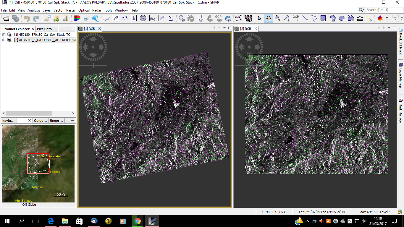
Screenshot of my processing for make terrain correction of ALOS PALSAR images with SAR Mosaic in SNAP, I don’t believe that geometric distortion was corrected!!! I have doubt
Left: image with SAR mosaic, Right: Image without SAR mosaic
Terrain correct first, then mosaic.
Hi Mengdahl
and ABraun replay for me with this:
this was a misunderstanding. The work-around with the mosaic doesn’t address terrain-induced distortions. It just helps you projecting Level 1.5 data which is currently not supported by the RD Terrain Correction module or the reproject module.
Thanks ABraun.
I readed that geometric distortion are corrected with terrain correction, but this I cannot makes for ALOS PALSAR in SNAP, so, how could make this ??? Please help
As Luis noted above, you need to have your ALOS acquisitions in suitable format:
Is reordering the data a possibility?
ASF MapReady performs really good on Level 1.5 data and is quite easy to use.
Interesting, my understanding was that the 1.5 product was missing the slant-to-ground transformation coefficients which makes terrain correction impossible. We should look into this @lveci
I don’t know how it’s implemented but it delivers great results:
Level 1.5 Geocoded
Level 1.5 radiometrically and geometrically Terrain Corrected
Thanks ABraun, I go to try with Mapready!!!
and Thanks Mengdahl!!!
what DEM did you use? Which projection?
Did you check “Also Apply radiometric Terrain Correction”?
Hi ABraun
I used SRTM 1 arc seg, geographic coordinate, and not applied radiometric terrain correction!!!
don’t know what went wrong. Can you send your used parameters? (with screenshots)