Good moorning! I tried to understand how S1tbx compute the incident angle matrix when you load a SAR image. ALOS palsar use polynomial grade 5, but i don´t undersatand how compute de incidence angle for COSMO skymed and sentinel-1. Can you help me? Best regards, sbst.
For Sentinel-1, it comes from the incidence angles in the geolocation grid within the product metadata annotation.
For Cosmo-Skymed, a grid is created based on the near and far incidence angles in the metadata.
The tie point grids created by SNAP are then interpolated on the fly for each pixel in the product.
2 Likes
Thanks Iveci for your answer, Do you Know how SNAP create incident angle CSK from near and far incidence angles. It uses a polynomial (2nd) or linear interpolation? Regards. sbst.
Hi there. Any success on that topic. I’m using CSK as well and I’m having problem to process terrain flattening. I suspect is because of the lack of incident angle vectors. It generates a NAN image. I’ll post a thread on that specific topic.
hi.
i have a COSMO-SkyMed data like this picture
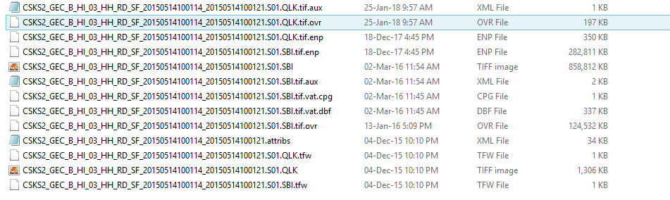
but i don’t know where is the metadata for this file. can you help me?
thank you
where did you get the data from?
SNAP requires a *h5 file to import Cosmo SkyMed data correctly. Based on your screenshot it looks like the data was already processed somehow. TIF formats usually don’t store much metadata, so it could have been already lost.
i got it from someone. may i know Cosmo SkyMed metadata extension?
Hi SBST,
Did you have any success get the information you needed? Did try terrain flattening your images?