Hi every one
I am creating a DEM from 2 sentinel 1 images with temporal seperation 13 day in a salt land. I do it according the the steps mentioned here. But when I use Phase to height, it dosen’t work without any error and when I use phase to elevation, the resultant DEM is a raster with NaN pixels, I think maybe its reason would be the using of topographic phase removal because we don’t need it when we want create a DEM. Ofcourse the result of Phase to displacement seems well. Can anybody help me please?
I delete the step of Topographic Phase Removal but the result is the same as before! I really don’t what I must do! I do operations in snap 5, 6 and 2 but the result is the same
Please tell me your ideas about this issue!
Thank you
I tried some versions like 2, 5 and 6
I have noticed the problem is because of interferogram. I repeated teh operations and understood that my created interferogram is blank! Just like: Why I am getting a blank interferogram (Sentinel1 from SLC IW images)?
Can you give me an idea to solve it please?
what are the exact dates of your scenes?
Is the coherence layer also blank?
Thank you for you answer. I finally understood the main reason of that. Actually I coregistered 2 images that belong ascending and descending paths although my ROI placed in both of them. I again downloaded 2 image that completely cover each other and operated all of the needed steps and successfully extracted DEM of my region. But again I can’t operate Phase to height operation!. I think its problem relates to Snap!.. do you know any idea about this?
Thank you a lot
yes, you need scenes from the same track.
I overcame the phase-to-elevation issue like this:
- Range Doppler Terrain Correction (include unwrapped phase + DEM for reference [using the checkbox])
- Import both layers into a GIS
- Create 1000 random points over the SAR image and extract values of both the unwrapped phae and the reference DEM
- Export points with both attributes as a table and open it in MS Excel
- Draw a scatterplot and fit a regression line that explains the DEM using the unwrapped phase values. Make sure it covers the mean trends only instead of outliers.
- Use the regression to calculate heights from the unwrapped phase values in the raster calculator.
Thak you
You mean the relation between DEM and Unwrapped phase is the same between height and Unwrapped phase?.. when we calculated regression how we get to height?.. do I multiply Unwrapped phase by regression?.. In that case don’t I again get the DEM?
Thank you
first you retrieve both elevation (from SRTM) and unwrapped phase at random points to calculate a correlation.
then you use the correlation as a regression model to estimate the height (y) at every pixel based on the unwrapped phase (x) .
That is not the most elegant method but it is a workaround I was successful with.
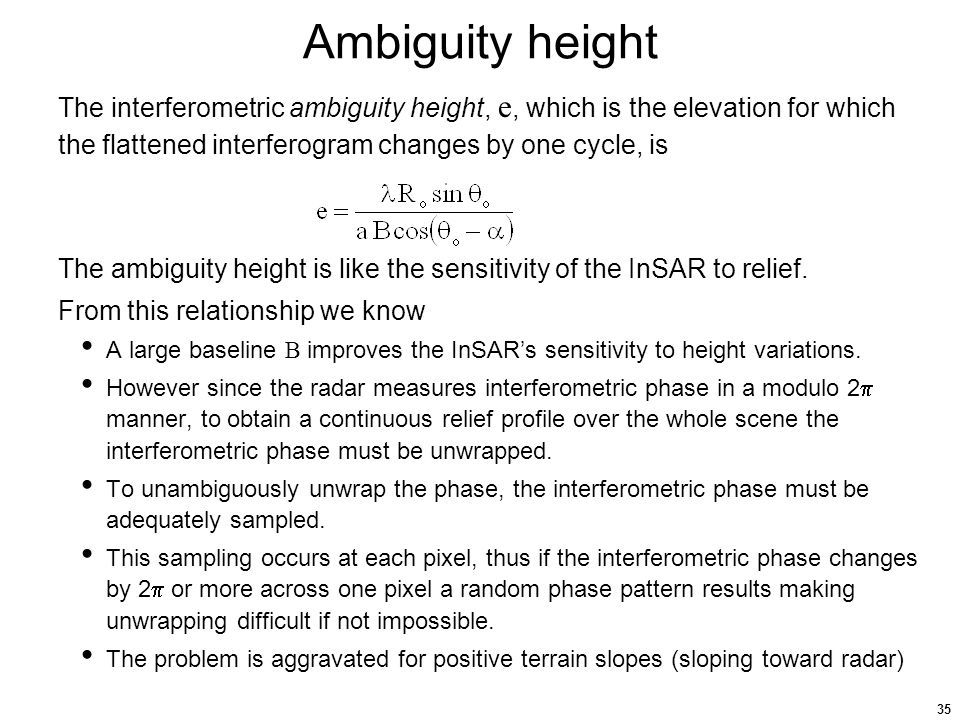
Theoretically, you could also calculate absolute heights from unwrapped phase knowing the ambiguity height, wavelength and incidence angle.
Ok… then we use another dem like ASTER or… and not extracted DEM by inSar to calculate the regression between height and unwrapped phas!.. in your opinion in regioms with fast elevation changes like deserts this method can be tr ue? I mean can we access to up to date other DEMs like aster and strm to calculate height?
The basic idea is to find a regression that transposes unwrapped phase data into absolute heights. For that you need true elevations at sampled points, ASTER or SRTM would be suitable. If the elevations change much or you need vertical accuracies > 10 m this method is probably not the best.
Thak you… in your opinion why should we prefer height instead DEM?..
manually converting phase to elevation is just a workaround for the case that the module doesn’t work correctly.
Thank you… but is there no any important difference between DEM and Heigth extracted from SAR images!?..
it is basically the same. Phase to Height converts the unwrapped phase into metric units but without any base leve. So the range of the data has to be leveled to a zero point or any fiven point which known elevation.
Phase to Elevation uses a dem to adjust the metric elevations to actual elevation using a DEM. So your values are meters above sea level already.
Thaks a lot… about displacement that is some movement of ground under passing sattellite in its line of sight, is there any way to separate propertion of movement in directions of x, y and z?
please have a look at these two topics:
Thank you 