I’m using fine resolution Radarsat-2 images for coregistration and InSAR processing. Overall the coherence for image stacks never exceeded 0.7, with the majority of the coherence below 0.5. So there are a couple of things I wanted to ask:
I’ve been using the default coregistration tool and its parameters, and I noticed there are other coregistration tools as well. Am I using the right tool for this?
Is it possible to apply a low-pass filter to the radar images and apply coregistration? If so, how to do it?
Maybe a few points:
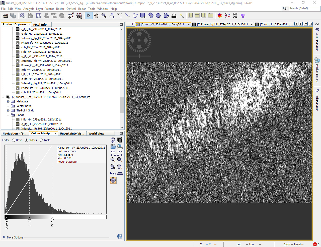
Coherence stronlgy depends from the land cover. Much vegetation leads to decorrelation between your images and low coherence. Where is your data located? Can you post a screenshot of your coherence?
You can increase the number of GCPs for the coregistration. This could lead to better results at some locations. Also try to use a second order polyonomial and trucated sinc interpolation. These things won’t increase the overall quality of the data but baybe lead to smaller improvements.
I don’t think filtering before coregistration makes sense. Maybe you also try also increasing the window sizes.
Thanks for the reply, Braun! I will keep these tips in mind.
Here are come more details about the images:
The coverage area is primarily wetland, mostly bare land and bushes across. During summer time the some of the area is covered by low-height vegetation. In the winter time, the area becomes frozen since it’s within the continuous permafrost region.
Here are some shots of coherence between some of the pairs (September-October pair is the better one)
Also I noticed that sometimes the slave image becomes “sheared” after coregistration even though master/slave pair almost completely overlaps, is it because of insufficient GCPs?
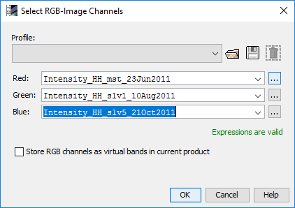
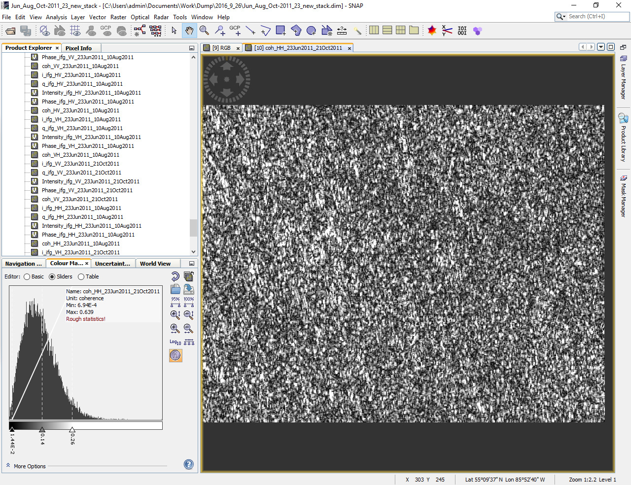
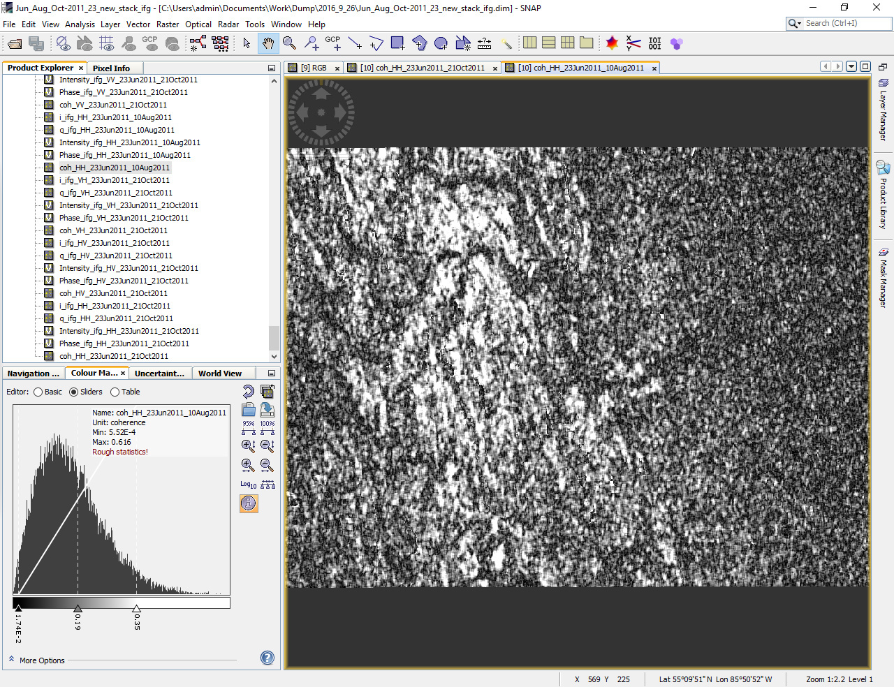
I made the stacks separately, and I don’t know how to combine RGB from separate files. I recreated another stack of the same dates, with all three images. This time I used 10000 GCPs, and truncated sinc 6 pts as warping algorithm, and here are the shots of the intensity and coherence graphs.
RGB composition:
you’re right. The coregistration is totally fine. I’m afraid the temporal baseline is too long. Jun-Oct is clearly lower than Jun-Aug.
The vegetation cover is subobtimal for interferometry.