Hi there,
I just pre-processing Sentinel 1 data for an area in Canada. I did thermal noise removal, apply orbit file and calibration and now I am doing Radiometric terrain flattering with SRTM 1Sec HGT (Autodownload) . I could do it for some of data, but for the rest of this it gives an error like this:
A problem occurred during processing the target product processing.
**type: OperatorException ** Message: java.lang.ArrayIndexOutOfBandsException
I have to also say that for Sentnel 1B IW ones also it says the DEM resolution is low! The best I can do based on the list is SRTM 1sec! What should I do then?
I would suggest to visually check the quality of your dem. Rigth click on the product -> add Elevation band. Your dark grey image could still contain valid pixel values, you can check in the Pixel info tab. cheers.
I am trying to perform RTF correction on ALOS-2 datasets. I first converted HH intensity value to beta naught then I performed RTF correction, but I am getting this error. Kindly guide me what’s the meaning of this error and how to solve it.
Is your DEM projected in WGS84?
May I ask where the 12m DEM comes from? You named it “dem_alos_12m_geo” which reminds me of the RTC products by ASF. In case that it is a side-product of ALOS PALSAR orthorectification it is probably only a resampled version of SRTM. The elevation information is not better.
Yes, I get it from RTC products by ASF and it’s projected to WGS84. Thank you for your correction, I also have TanDEM-X 12m DEM for my study area. I can use it. Right now I try to use SRTM 1sec (Auto Download) DEM and I unchecked “Re-grid Method”. It was executed successfully but the result is all zero pixels as shown in the figure below.
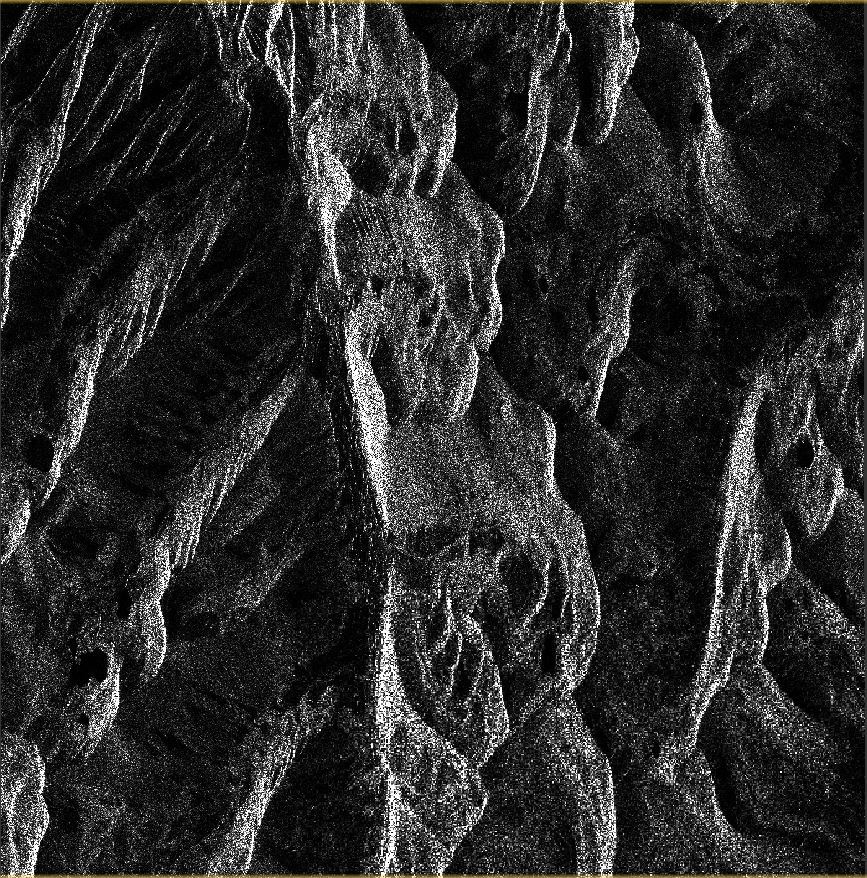
Yes, Beta0 image looks correct as shown below. I just clipped original image to a small subset then convert to Beta0 and apply Radiometric Terrain Flattening.