Hello Friends,
I am newbie here and I am so excited to find this useful Forum and data.
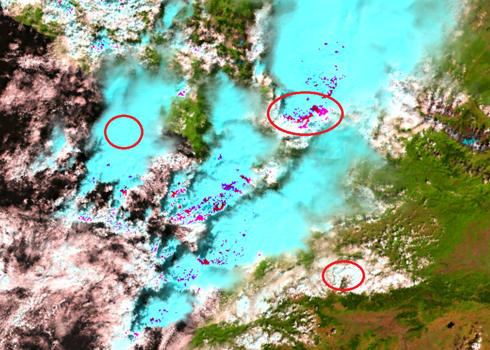
I’ve started to download Orthophoto map from EUMETSAT’s web page a few days ago.
Can you help me and tell where I can find any useful guidance about map description?
I really need to find answers on my questions which are extremely important and helpful to write my master’s thesis.
Which bands are necessary to calculate precipitation area during cloudy day?
Why are some clouds light blue and some of them white? It is depends on only false color?
What are these dark and light purple spots above the clouds? Is it precipitation area?
Thanks a lot for your response
Regards,