is your study area located above 60° Northern or below 60° Southern latitude?
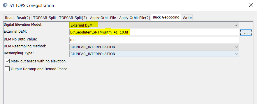
The error message indicates that there is no elevation information found online.
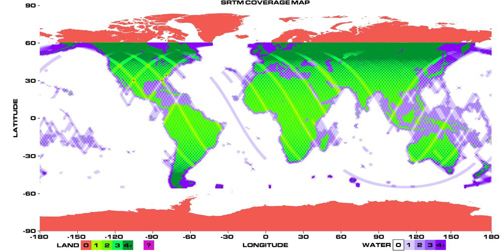
If your study area lies in the red area you should try to find another source of elevation data and use it in the ‘Back Geocoding’ step.
JAXA published a nearly global DEM with 30 meters based on stereoscopic PRISM data and it’s really good:
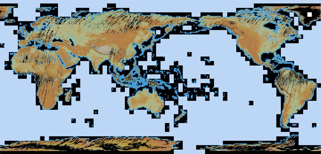
You can get it here for free after a short registration (see point 4):
http://www.eorc.jaxa.jp/ALOS/en/aw3d30/