Do you know what is different of DInSAR and InSAR?
I just know that different is DInSAR need DEM SRTM for coregistration and InSAR do not need DEM SRTM.
And, why DInSAR need DEM SRTM for coregistration?
InSAR is mostly used for DEM generation, so to convert phase differences between two images to relative heights. To get absolute heights a reference DEM is required.
The D in DInSAR stands for “Differential”, that means it is used to observe phase changes between two images in a given time. It is used to monitor subsidence/uplift or lateral deformation. To be independent from topograpy, the topographic phase is simulated using a reference DEM and then removed from the interferogram.
This might be interesting to you, especially chapter 6:
Hi ABraun
Your responses at Stage coregistration helped me so much.
I want to remove flat phase and topography phase from interferogram phase without snap now. So far I realized that I have to Get help from Orbit file and DEM.
But I do not know how.
Can you help me?
still the same problem as you reported here: How to import an external DEM into SNAP? - #21 by Parisa
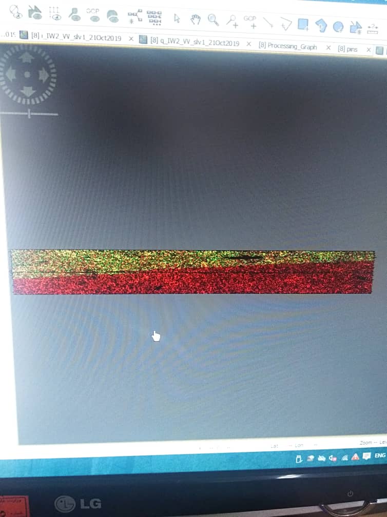
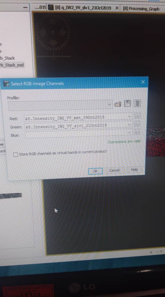
Parts of your second product are missing, but I don’t have an explanation why. It would make more sense that a single burst was missing, but the border diagonally crosses both bursts. Never seen that before. Please go back to the TOPS Split step and make sure that both inputs for the coregistration cover the same area.
I check TOPS Split and it’s True.
I think it 's because STRM doesn 't cover the whole area . how about this ?
so it can be said that the upper part is right, but not down here. Right?
If that’s the case ,I can separate a smaller image from the top and do the processing I want on it.
Hi ABraun
I didn 't find the previous problem.
Now I am asked how should I export the interfrograms I created?
I started with the “tif” format first, but it just gives me the pixel values of the images, I need the DEM, latitude and longitude data.
It is written in the “ُStaMPS_Manual.pdf” that stamps should be exported. Do I need to install new software?
If you want to use interferograms which were generated in SNAP for multi-temporal analyses in StaMPS, there is a separate export function. Please have a look at this topic: StaMPS - Detailed instructions - #2 by ABraun
You can use the InSAR Stack Overview tool to get the temporal and perpendicular baseline.
Hi ABraun
I got temporal and perpendicular baseline with ASF Data search because I do not have access to Snap at this time.
I have to implement PSI algorithm, but apparently I am not allowed to use StaMPS package and I have to write the steps myself.
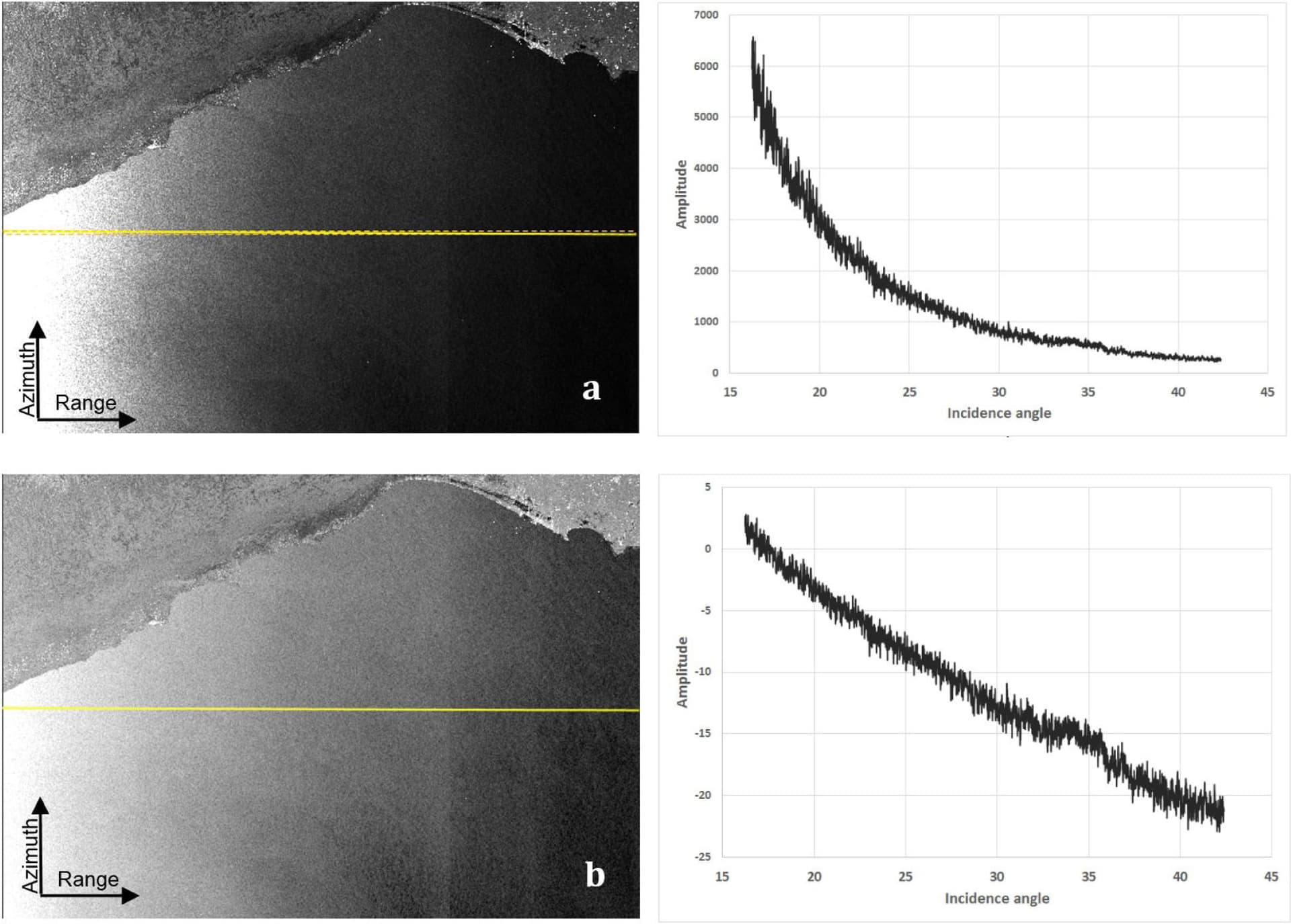
At this point I have to get incident angle and I have a question. For an image the incident angle of each pixel is different from other pixels of the same image or the whole image has a incident angle?
I created the interferograms In single master mode views, and according to the formulas, I conclude that the incident angle of each interferogram is equal to the incident angle of the Master image. Is this true?
Additionally, you can distinguish between the global and the local incidence angle. The first refers to the flat surface of the earth and the second includes topography (more on this here)
So you have to decide which one you want to use. But if all images are from the same track you can use the incidence angles of the reference images.