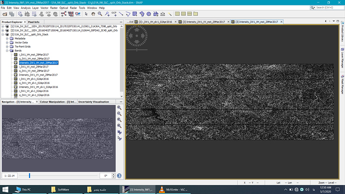
Hi guys,I have two file that have done split and orbit process for them ,now I’m doing back geocoding on the two file my export bands of back geocoding consists of 12 bands,but there is problem the first band till sixth band are showing the related images,but seventh band till 12th band doesn’t show any thing,what should I do?
is it possible that your products are shifted along-track and you have to select different numbers of bursts to cover the same area.
You see an example here (page 8 and 9): DEM generation with Sentinel-1 - Workflow and challenges
