sir, I have a doubt in random forest classifier. How much time does it take to computing the raster data.
This depends on how much input rasters you use for the training.
Furthermore, activating the option “evaluate feature importance” takes considerable longer time.
1 Like
Finally the process have been completed, sir. Can you suggest to me that in which format to save the image, sir
what do you want to do with the result?
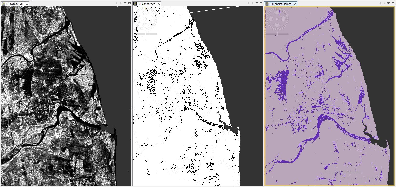
The main aim of the work is to map flood water from permanent water bodies. Now I’m going to show this work to my guide that can i proceed this method for further flooded Sentinel 1A images.
inside the data folder, there is a raster file class_indices.img, together with class_indices.hdr
![]()
If you applied Range Doppler Terrain Correction to the Sentinel-1 product before the classification you can directly share these two files with your colleagues. They are fully compatible with any GIS software.
I’ll try this. sorry for late response. Last 3 days i gone for field. so couldn’t make reply
The folder you selected as target directory, there is one dim file and one data folder for each DIMAP product.