Hello everyone,
I am trying to perform Terrain Correction on ALOS-2 data but i am not able to solve these different errors. Does anyone know how to perform terrain correction on ALOS-2 data.
I am working with ALOS-2 CEOS.
Thanks
Hello everyone,
I am trying to perform Terrain Correction on ALOS-2 data but i am not able to solve these different errors. Does anyone know how to perform terrain correction on ALOS-2 data.
I am working with ALOS-2 CEOS.
Thanks
what kinds of errors are you experiencing?
What ALOS-2 data are you using in detail?
First Error: Source should not be map projected then i try to change the projection. Second Error:
Product should be terrain corrected or ellipsoid corrected.
well we can’t perform the terrain correction nor ellipsoid correction.
SAR Mosaic is another option for ellipsoid but it will change your metadata file.
All i want to know if anyone have process ALOS-2 level 1.5 data.?
as far as I know Level 1.5 ALOS-2 data is neither supported in SNAP nor in MapReady. At least for me, MapReady crashes when reading Level 1.5 ALOS-2 data
Thanks
yes you are right. Mapready is also not working but let see i am trying if i come up with any solution.
hi
i am performing Terrain correction of ALOS 2 PALSAR 2 data which is in SLC level 1.1 format. i want to know the sequence of processing steps. do in need to calibrate it first or multilook??
Calibration should be performed as early as possible (e.g. after import and subset), multi-looking is optional afterwards.
Thanks.
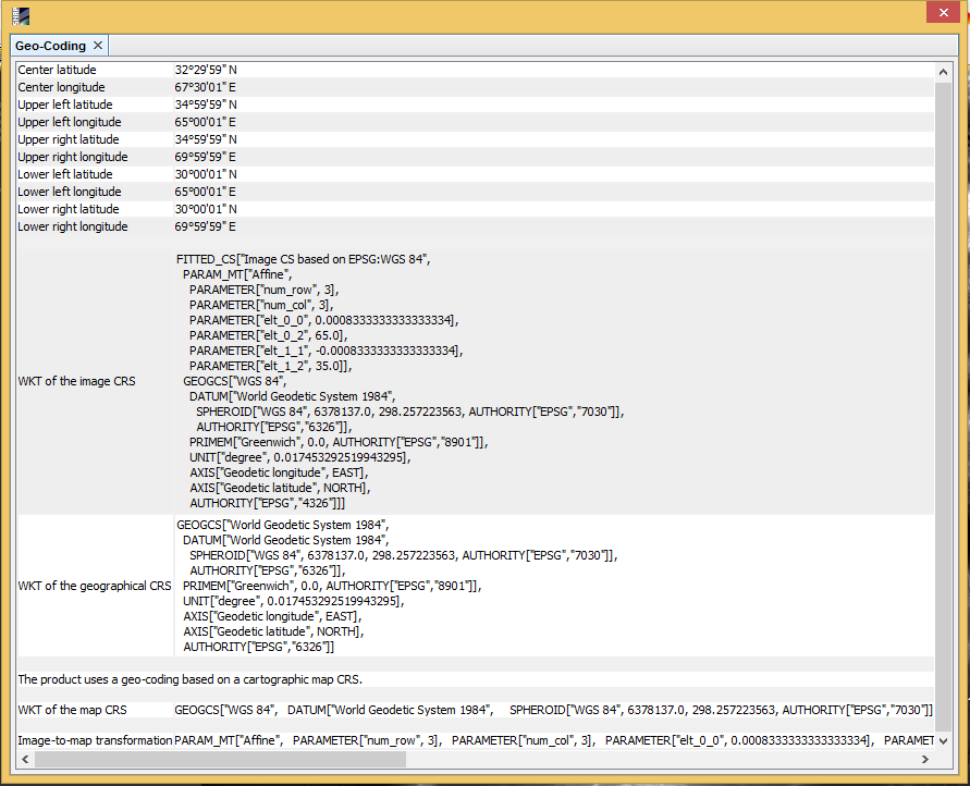
i m providing external DEM while performing Range Doppler Terrain correction. The DEM is in “GCS WGS 1984” and Terrain correction operator is not accepting it (experiencing some errors).
can you please load the DEM into SNAP, open it and select this button? ![]()
Then upload the content as a screenshot here.
Looks good. Is it stored as a GeoTiff?
Yes it is stored as a Geotiff
can you please share the content of the error message?
When you load both rasters (DEM and S1) into SNAP, do they cover the same area in the world view window?