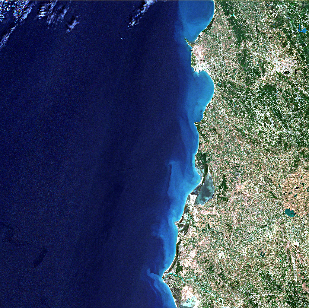
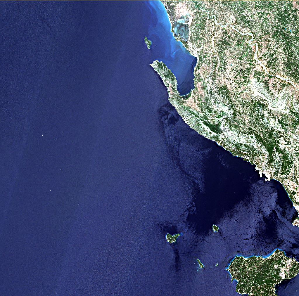
After processing some sentinel 2 images to be atmospherically corrected, I ended up with some files which have lines and different tonalities where there is water.
I had read that classifying those images could lead to an error for the machines while trying to difference waterbodies and riverflows from other classes.
I was curious and I wonder why these “lines” may appear.
Thank you for your attention ;).
ecause the viewing angles are not the same for even and odd detectors across the swath, in areas of homogeniety - such as open water - the individual detectors can be observed. This effect is not an anomaly. Section 5.2.1 of the monthly Data Quality Report - available from the Sentinel-2 Document Library - highlights this effect.