Thank you…can you please help me how to create the Kz file and flat earth removal file for this data.While trying PCT, I got some problem
I just followed the tutorials which I listed above, the DEM file was automatically generated after starting the TomoSAR menu (sep 7). You have to enter some height values and a delta (I used the standard of 0.5) and then select “Gene”.
Hi,
While trying to generate the histogram in PolSARPro v 5.1,I am getting error message like this:
“coordinates for -from option extend outside source image”.What should be the possible cause and how can I solve this?
Can you tell me how do you import SNAP products into Polsarpro and vice versa?
Did you see this tutorial: http://seom.esa.int/polarimetrycourse2015/files/Sentinel-1TBX_PolSARPro.pdf
The SNAP manual also provides some information on the import:
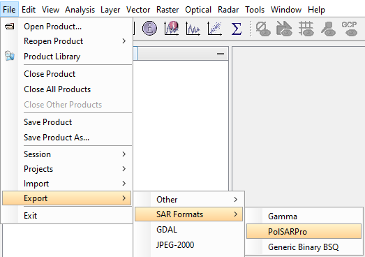
Export is also supported, but you have to check if all metadata are correctly written:
I am constantly getting this error while trying to import the polsarpro data in SNAP.
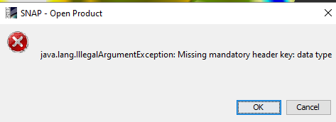
you are right, I get the same error. I tried modifying the metadata (data type is actually defined) but I also couldn’t manage it.
This is strange. It was possible in earlier versions maybe.
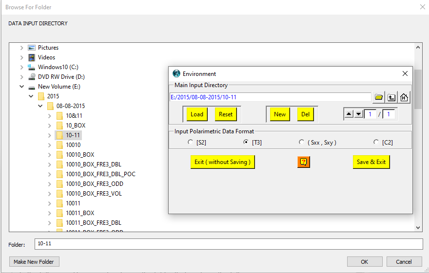
Hello , I am failing to add my data (Extracted from Single data set) in multi data sets (time series- PolSARpro). I followed 1-3 steps each UAVSAR data and tried to add main directory to Multi Data Sets (Time Series Data / Pol-Tom SAR), but its showing some error
 .
.
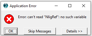
I have never seen this error, sorry.
I am getting the same error. How did you rectify it?
please describe your data and the error message, “the same” is a little too unspecific.
Thanks for the prompt reply.
I am using AfriSAR dataset for performing tomography. I got the data from UAVSAR NASA JPL website and each data has a .slc extension.
When I try to import the input files I get the following message.- “ERROR IN THE UAVSAR DATA FORMAT”
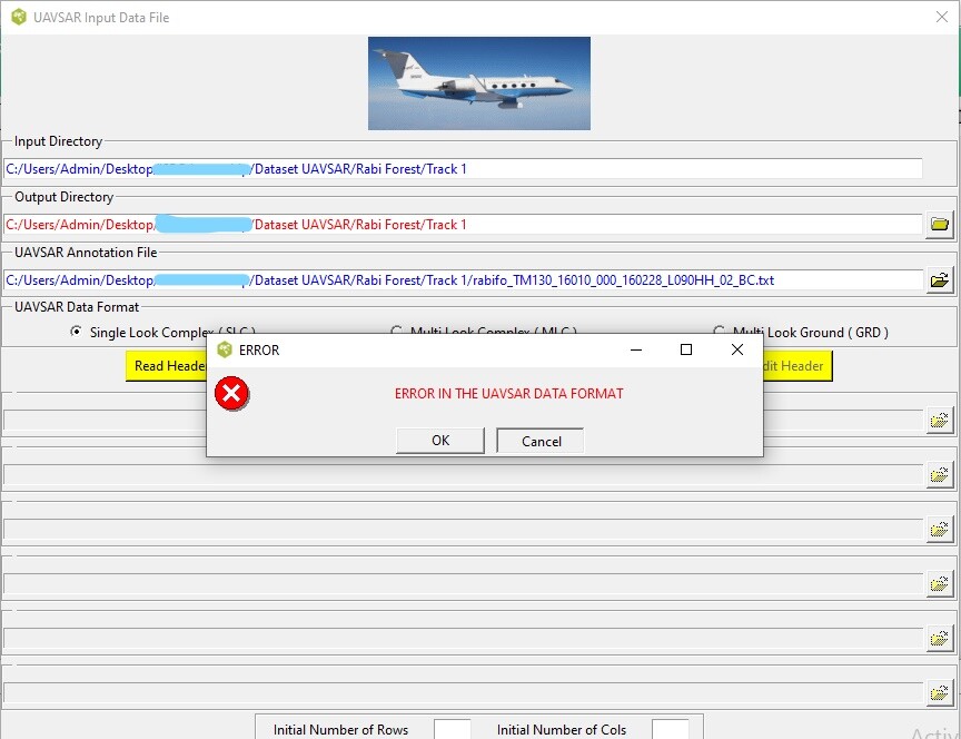
has it ever worked for you to use the UAVSAR reader for AfriSAR data? I think the file structure can be considerably different, but I’m not familiar with this sensor
I am actually using PolSAR pro for the first time. I tried following your steps, but I am unable to proceed any further due to this format error.
I tried using SNAP too but somehow, the .slc extension files are not getting recognized
I don’t know if AfriSAR data is officially supported in any of these platforms, it is a quite unique sensor.
Maybe there are recommendations on processing environments by the data provider?
The data provider has not really mentioned any further details.
I used AfriSAR since I also had an access to the ground truth.
But if this does not work, can you please suggest any other datasets that I can use for SAR tomography in case of forests?
SAR tomography is among the most complex methods in radar processing. I’m afraid there is no standard workflow to follow along, especially because current spaceborne missions do not provide sufficient temporal and perpendicular baselines. I haven’t managed to reproduce one TomoSAR study with my data so far.
Maybe these resources are helpful to you:
Thanks a lot!
These links seem to be quite helpful.
respected maam how do you take output from polsar pro to snap please help