I am using the Range-Doppler Terrain Correction in Snappy and since I would like to look at tif data all around the world in the program I guess I would need to change the Coordinate Reference System to the specific area (I thought it could do that automatically with the standard parameter but that does not seem to be the case). How would I add that parameter (EPSG/UTM Zone) to the code? My code currently:
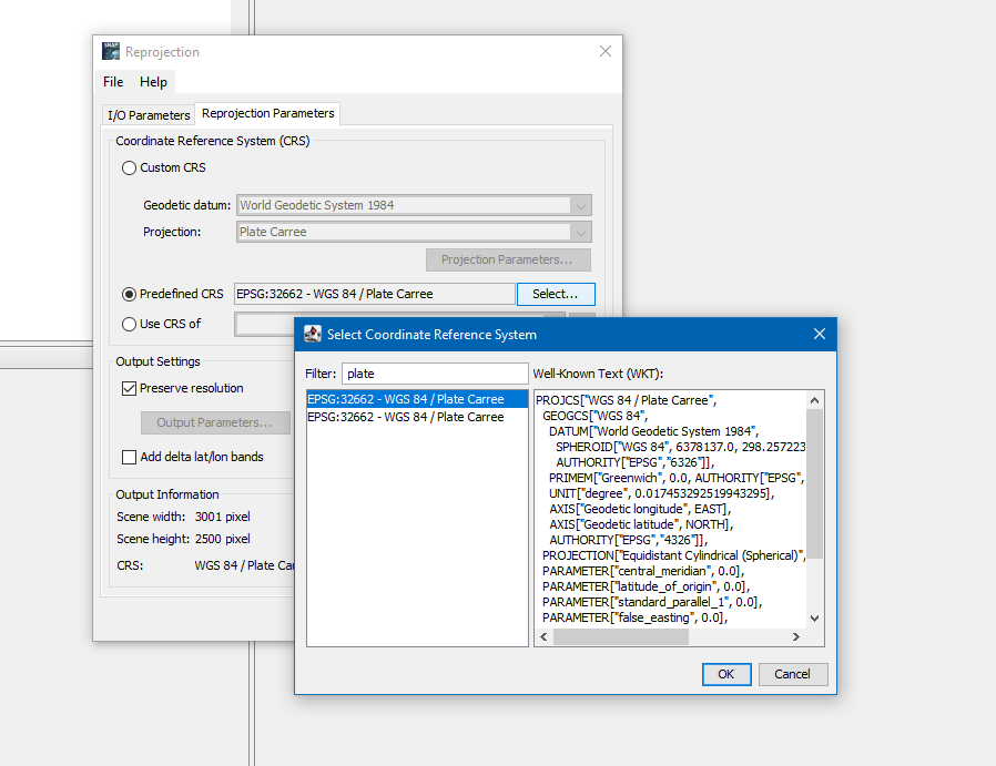
To define the map projection you can enter the EPSG code. But for looking up I usually use EPSG.io or Spatial Reference.
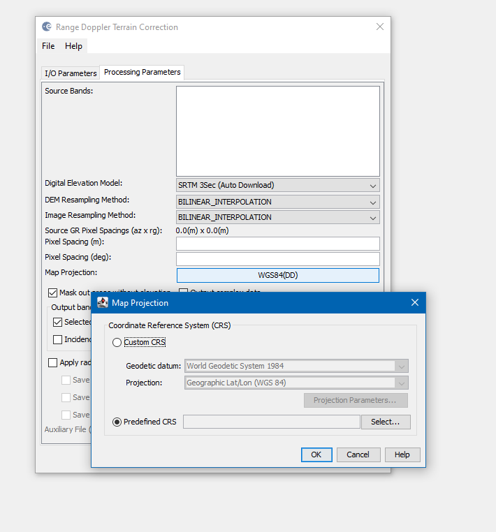
You can use the GUI to find out what you can specify. Try Raster / Reprojection or Radar / Geometric / Terrain Correctino / Range Doppler Terrain Correction
most of the boxes and lists are searchable. Just start typing
You can use the EPSG code, or the WKT after you have defined the projection.