Dear all,
I am trying to compare products from MODIS and Sentinel 3 (SDR). My final objective is to use band maths to substract both products and then being able to compare these lasts.
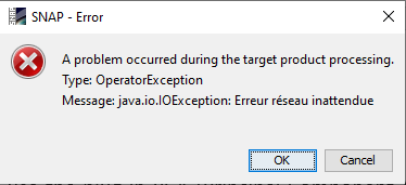
Actually, to be compared, it sounds like the products should have the same resolution, but the resampling tool doesn’t help to assign the Sentinel’s 3 resolution to Modis products. Then, I tried to co-register both images to be then able to assign the same height and width pixels but it doesn’t work either.
If you have any idea how I could “prepare” my images, to be able to properly use band maths and substract both images, please tell me.
Lucas.