Hello everyone.
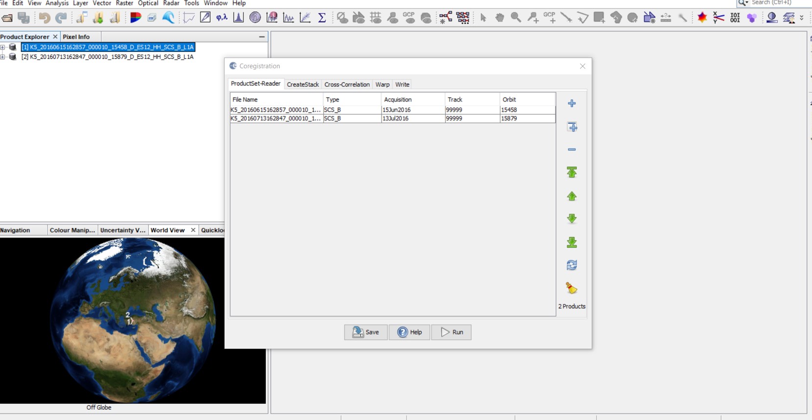
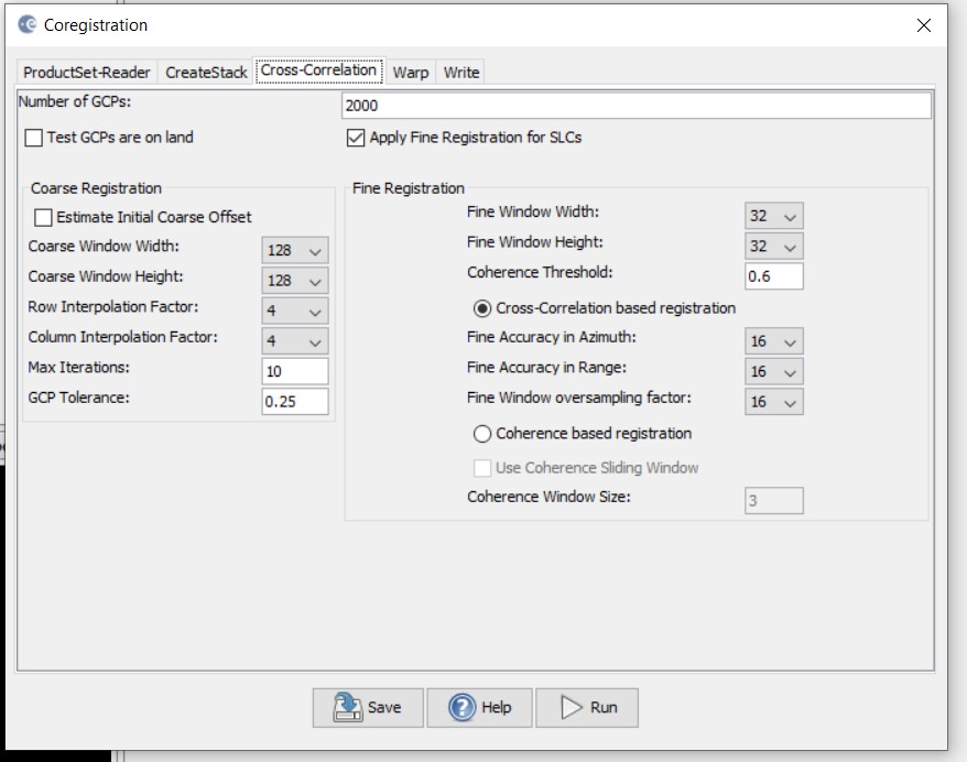
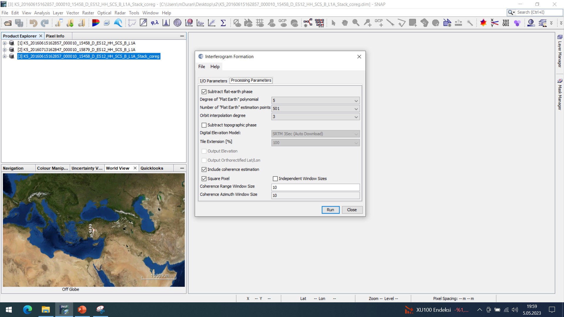
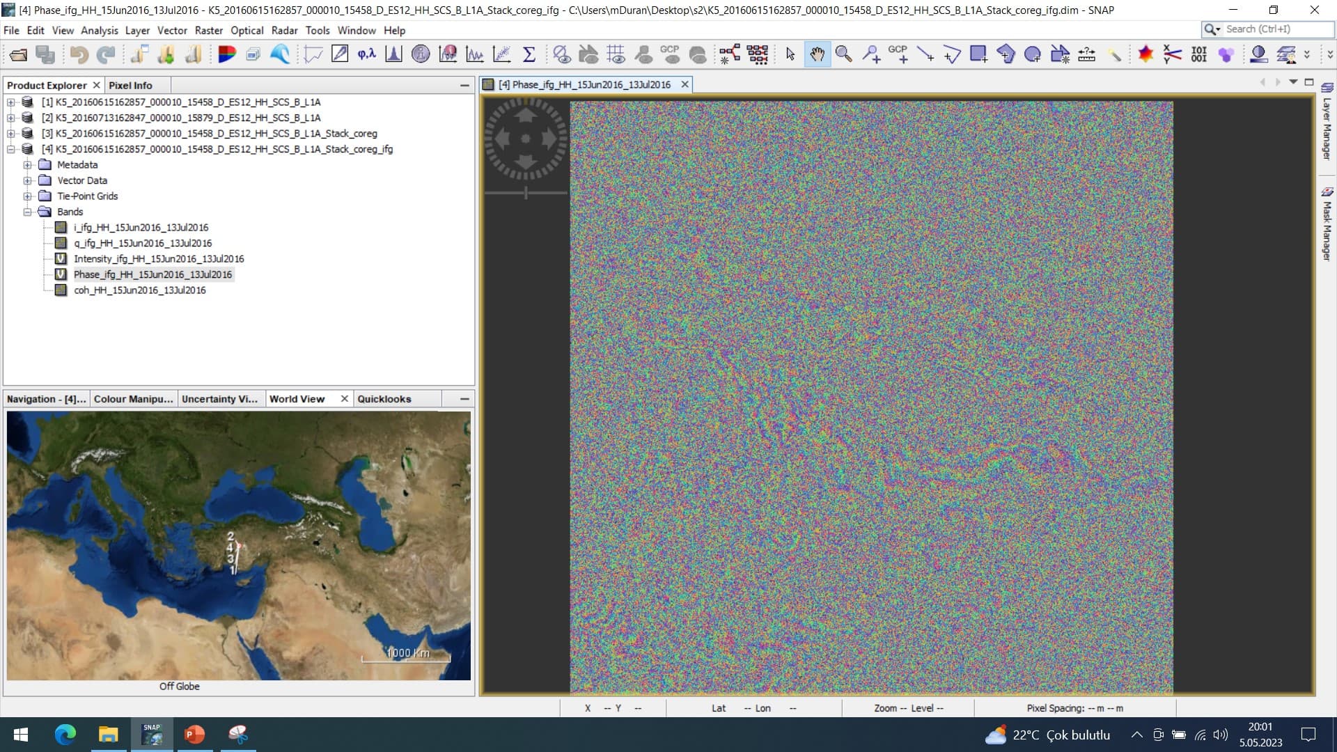
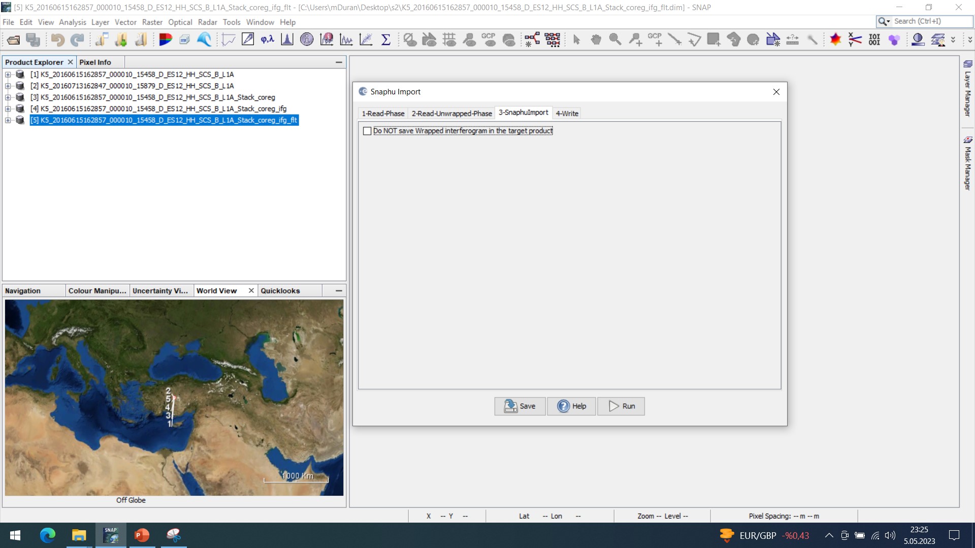
I am trying to generate DIGITAL HEIGHT MODEL (DEM) using KOMPSAT 5 interferometric sar image pairs in SNAP 9.0.0 version. However, I encounter errors up to 100 meters in all the products I produce. My process steps to generate DEM; Import-Coregistration-Interferogram Formation-Goldstein Phase Filtering-Snaphu Export (TILE 10-10)-Snaphu Unwrapping-Snaphu Import-Geometric Terrain Correction Range-Doppler Terrain Correction consists of these. Are there steps I am doing wrong or generating a different DEM for KOMPSAT 5 Sar satellite?
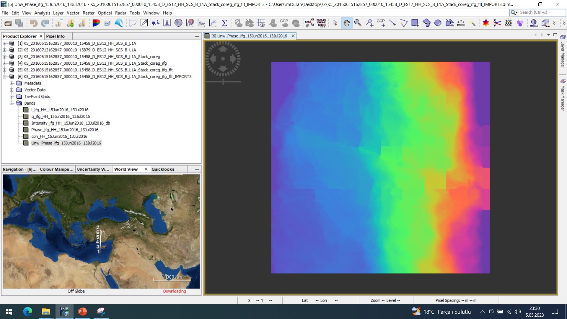
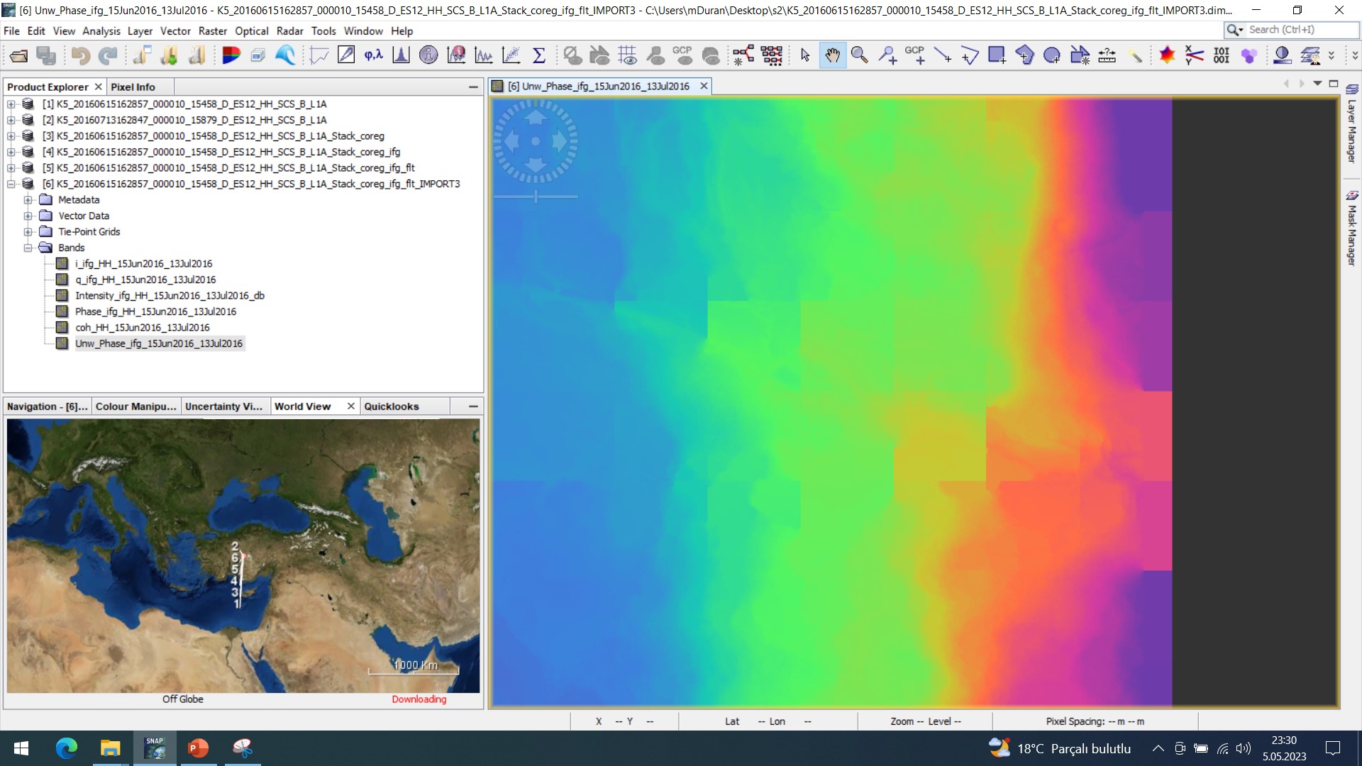
the data suffers from strong decorrelation and phase noise. Unwrapping this produces the observed ramp.
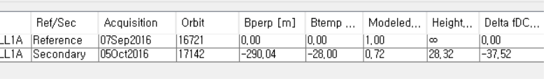
Can you please share the perpendicular baseline information as well?
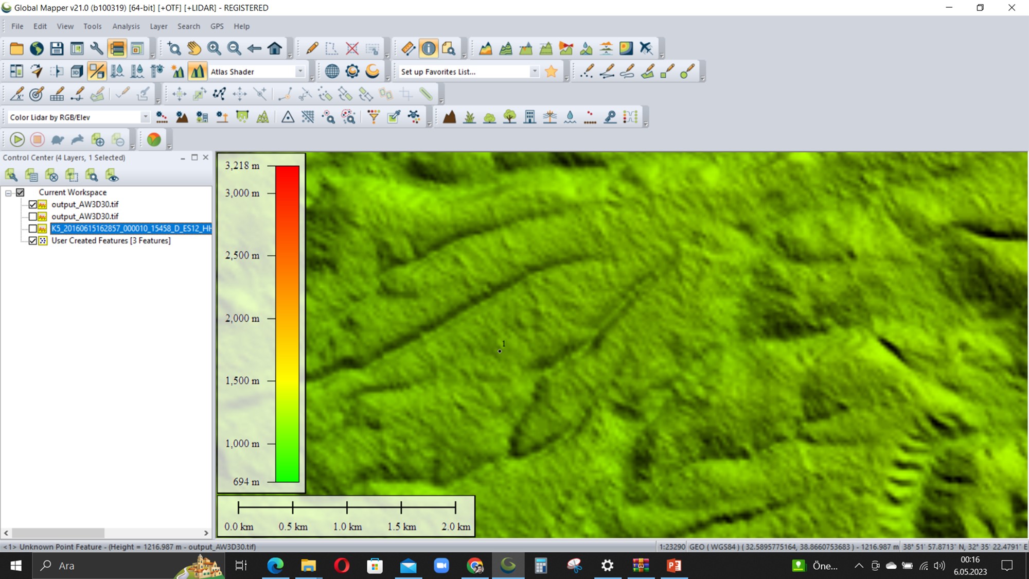
@ABraun So, can’t a sensitive DEM data be generated from these images? Is it possible to eliminate this difference by doing a different operation in the SNAP application?
I have not used KOMPSAT5, you can first do some literature survey about using KOMPSAT5 for DEM generation.
I have used Sentinel-1 for generating DEM, from my experience and other papers, Sentinel1 is not suited for this application, the error is large especially in mountain area, even if short perpendicular baseline and short time baseline are satisfied.
One of the main problems is the acqusition time difference of the two images( at least a few days), which causes discorrelation and may influence dem results a lot. If you look at the current DEM products, like STRM and TanDEM, they all have two sensors, the discorrelation caused by time baseline is negeiable.
So I am not optimistic about good dem results generated by KOMPSAT5, if you really want to do this, choose perpendicular baseline between 150-300m, and time baseline as short as possible. And if the area you choose is coverd by trees, sometimes the discorrelation with be severe especially for your X band data, no good results are expected
@domino1989 Thank you very much for answering my question.
I want to generate DEM using interferometric method. What you said about Sentinel 1 data is very true. It is very difficult to obtain interferometric SAR image pairs.
I requested images for my training from various SAR satellite companies, but no one responded.
I decided to work on the DEM sensitivity of the Kompsat 5 SAR satellite.
@domino1989@ABraun
Which one to choose when producing DEM?
1- TOPO
2- DEFO
3- SMOOTH
4- NOSTATCOSTS
What Initial Method should be selected?
1- MST
2- MCF