Dear colleagues,
I produced two interferograms from both type of orbits over the same region. I have some points
measured by GNSS inside one and the same area. I was surprised to see that after using them as mask pixels for extraction of the phase at the said points ino CVS file and reading them in GE the points didn’t overlap as I expected. I hope the the image illustrates well the situation.
After loading the product I imported the SHP via File-Import-VectorData-ESRI Shapefile and after that I opened the image file and with right click I use ExportMaskPixels
now I understand.
It can be related to the pixel size and registration of the two images. If they don’t belong to the same product, there might be a shift between the pixel centers.
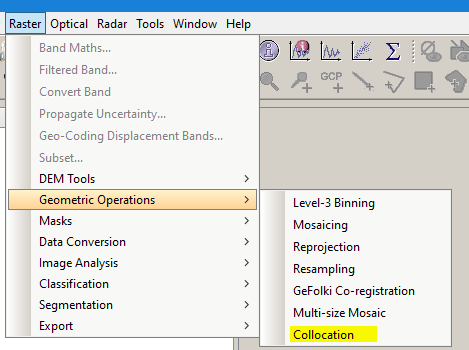
May be the problem is not with collocation. Find below the table I get for the points I need (SHP file) and the pints I get from SNAP. I can’t explain why.
I think this actually proves the point
The Shapefile defines the location of the points at the centimeter scale but as a mask in SNAP, the pixel center is used as a reference.
That is good to know when extracting values. I guess it is more adequate to use pixel centers, but then the result is that it is not possible to map the same area with asc/desc orbits.
that’s true but in case of radar you can never know if the microwave interacts with the same surface structure or object when you are working with ascending and descending data.