Hello,
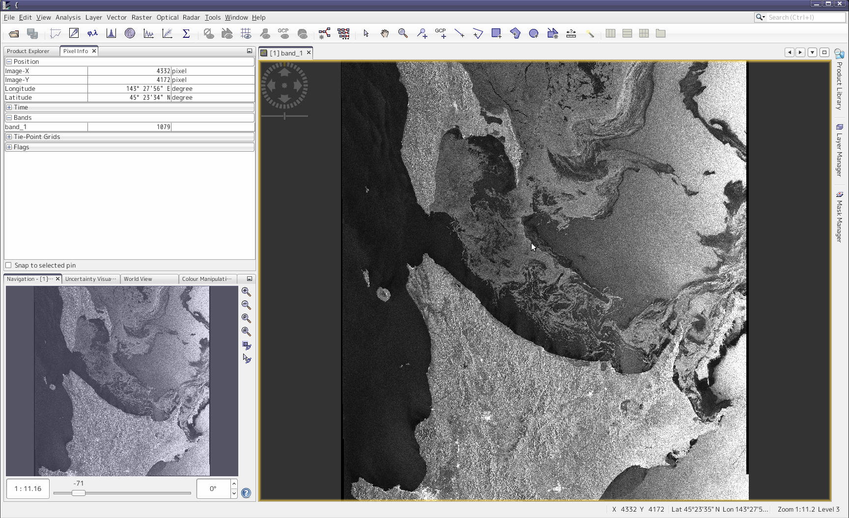
I want to output the digital value (“band_1” in the image) and position from Radarsat-2 image every pixels
(preferably in human-readable form).
Could someone tell me the way if knows?
Best regards,
Hello,
I want to output the digital value (“band_1” in the image) and position from Radarsat-2 image every pixels
(preferably in human-readable form).
Could someone tell me the way if knows?
Best regards,
First create a subset of the area you want exported. Then use File -> Export -> CSV to write the band values to a text file as comma seperated values (CSV) with the lat lon of each pixel.
You can’t expect to write out a whole product as text.
I am working with Radarsat-2 quad pol data. I applied radiometric calibration on the image and saved the output as a complex data. Is it now possible to extract HH, HV and VV backscatter intensity images from this data?
basically, all outputs of calibration are intensity, but only if you select Sigma0 the intensity is calibrated.