Hello, I have a problem with the Alos Palsar L1.1 data. I downloaded an Alos Palsar L1.1 scene from ASF and opened it in SNAP. I did calibration, deskewing and terrain correction. But the scene is about 100 meter displaced. I also tried the Orthorectification Tutorial workflow from esa (calibration, multilooking, speckle filter, deskewing, terrain correction) but that leads to an even worse displacement of the scene.
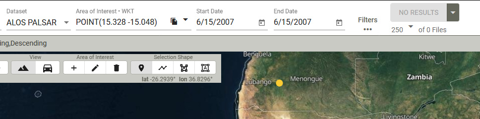
Oh sorry …its the other way round -15.048, 15.328
These are the coordinates of the POLYGON((-15.4009 14.9742,-14.438 14.9742,-14.438 15.7488,-15.4009 15.7488,-15.4009 14.9742))
I downloaded the product and observe a similar shift. Probably, the orbit information is imprecise.
You can try to apply SAR Simulation Terrain Correction instead (use SRTM 1 Sec) and select high cross correlation accuracies. In my case (I only used a subset), this slightly improved the geolocation, although it still not perfect. Worth some trial-and-error runs with different parameters.