How do I export the row and column numbers and latitude and longitude into a CSV file?
It depends on what hat you want to export.
If you just want to export some pixels, then it is best to set pins and export them. If you want to export a region you better define a mask, either by drawing it or by importing a shapefile, or by defining it by an expression. Afterwards you can export the mask data. This will also export the other band data of the product, but you can remove it afterwards or do a band subset beforehand.
But be carefully don’t make the region too big. The size of the csv file can become very large.
My SNAP software cannot export MaskPixel, how can I solve this problem. I also tried to turn on other bands, but this was still the case.
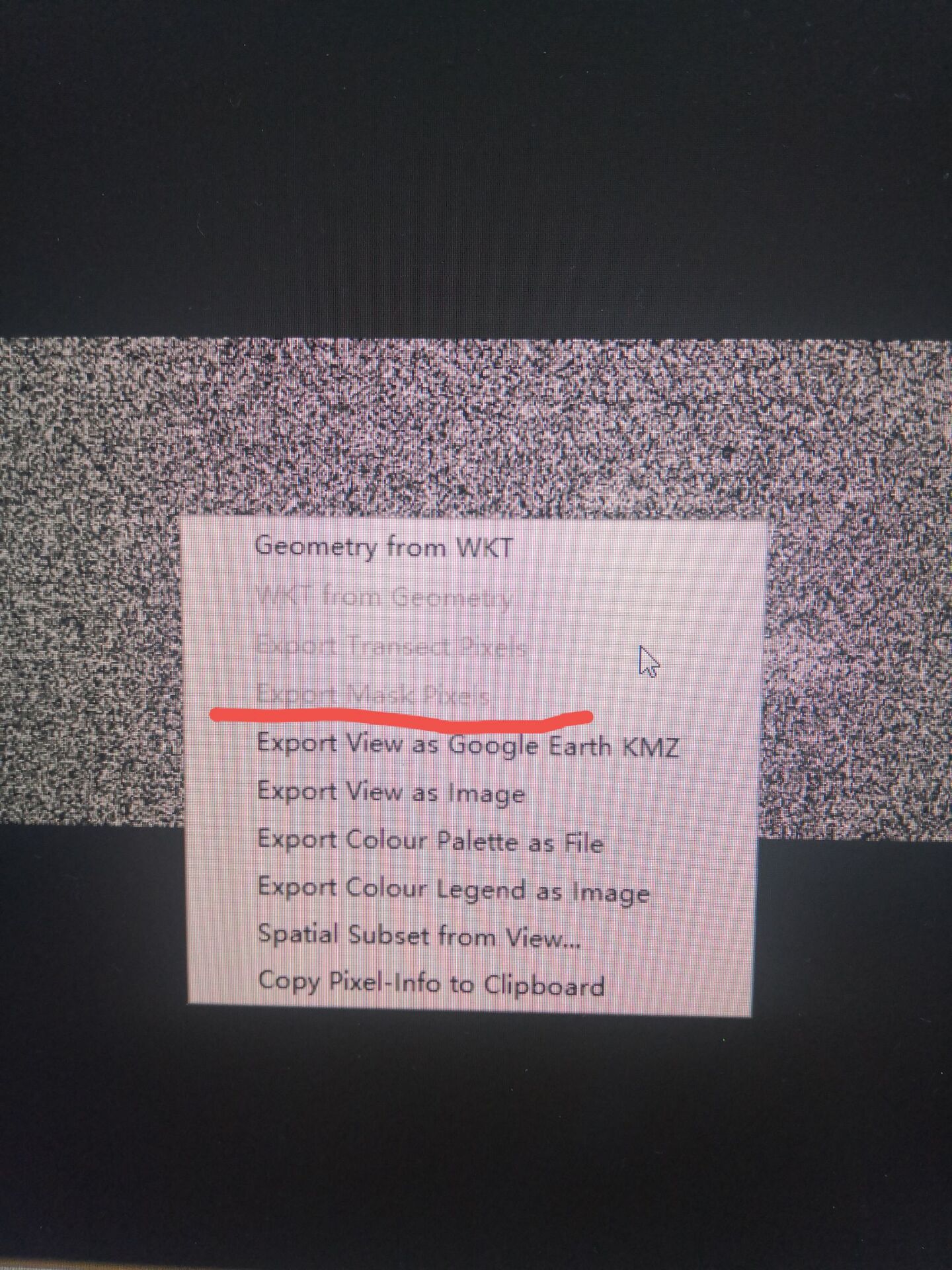
This is a known issue: [SNAP-296] Export Mask Pixels not correctly enabled - JIRA (atlassian.net)
After drawing the geometry, you need to switch to a view of another band and then back.
This should actually help to enable the menu entry.
- I followed your advice and still haven’t solved the problem. Is there any other way?
Are the geographic coordinates of each pixel on the interferogram offset? Why is my projection inaccurate on the map?Thanks.
The geographic-coordinates are based on a tie-point grid by default.
You might need to do a terrain-correction first.
Please have a look at SAR Basics Tutorial (esa.int)
There are even more tutorials available: Tutorials – STEP (esa.int)
If the enablement still doesn’t work, you can save the file after adding the mask. The close and reopen it. Now, the mask should be visible in the Product Explorer and the export should be enabled.