Hello forum,
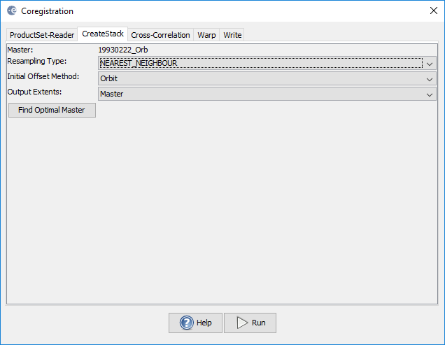
I’m a relative new user and I’ve been procesing images in order to compare two images of different periods of time. The problem is that it depends on the place of study, the slave radar imagen doesnt exist, (when coregistration is done (ERS)).
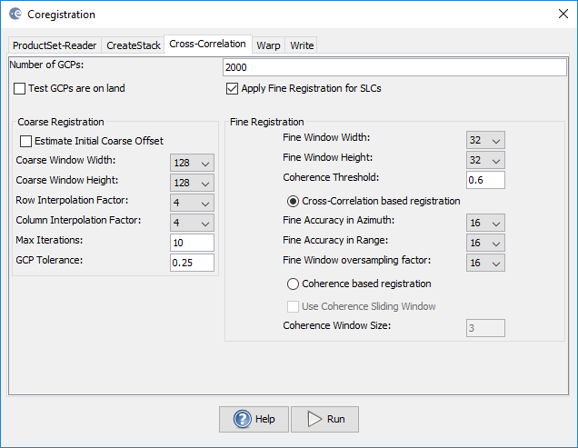
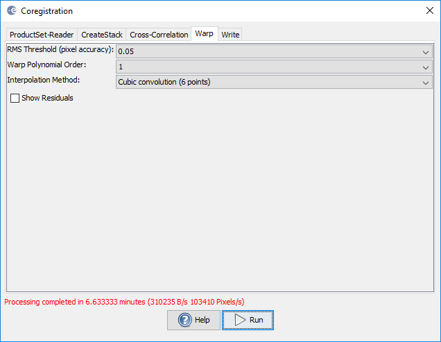
I’ve tried to change in cross correlation the number of GCP, size of windows, tolerance,… and, on wrap, I tried to change polynomial order and interpolation method, but the pixel info of slave product always has appeared like NaN.
I’ve also tried with Sentinel 1 images in the same place. For that, I used an external DEM for back geocoding (cos it is needed), but the processed product of slave image doesnt have information.
I always follow the same steps, depend on the type of product(ERS or S1)…
In addition, I have done the subsets in a precise and a careful way, apply the orbit file, but I cannot continue with the flattened inteferogram generation as the slave product fail
Both has the same relative orbit and descending, and it’s possible to create a stack with both, but,as i have said before, it’s not possible to make correctly all the coregistration (it fails in cross correlation or wrap)
One is from ERS1 while the second is from ERS2, however it is possible to work with images from both satellites, i’ve done it before and i’ve read some reseach where it is done.
I cannot upload the files here because it gives me an error
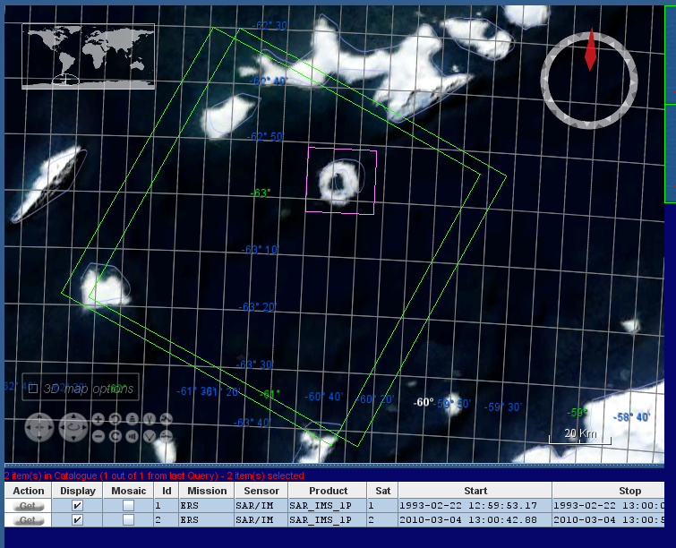
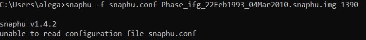
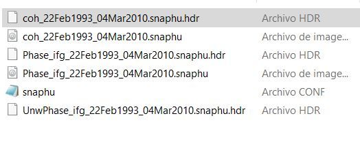
Hi ABraun, I need help again…
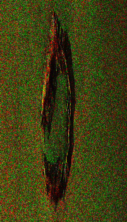
I’m trying to begin with SNAPHU (I have not used it before) with the two images about deception island, those about we talked last time.
So, apart from have aplied orbit file and coregistration, I have done an interferogram formation and a goldstein phase filtering. After that I’ve export to snaphu (unwrapping), but when I use the console, it gives me an error. I don’t know what is failing