I successfully read a s1a-iw3-slc-vh-20190825t050521-20190825t050546-028721-034070-003.tiff using Rasterio in python 3. My problem is that when I check the metadata it seems that this data product does not have a coordinate reference system. Infact within the metadata CRS is stated as none. Does anyone know if this applies to every other S1 data product? I am trying to extract a subset of the S1 data product by using geolocation but I am failing to do so with S1. With S2 I was successful as it had a CRS system using Rasterio. Any ideas and help will be immensely appreciated.
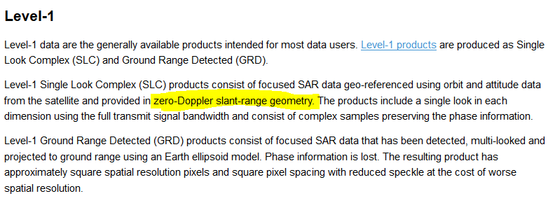
Simply because it in Slant range,
Source: https://sentinel.esa.int/web/sentinel/missions/sentinel-1/data-products
1 Like
