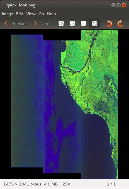
While I am attempting to download Sentinel_1 SLC data - it is showing preview as correct with underlaid (reference-OSM) map.
But once after I got download the data - preview showing inverted…
The same inverted data appears in SNAP-working environment.
How can I rectify this…
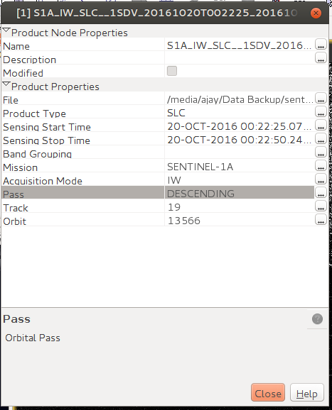
you should verify if your orbit is ascending or descending !
after calibration of your image .
and you do the geometric correction
how can I change orientation of orbit? (even after calibration)
.
any methodology… behind it let me know…!
ABraun
#4
why do you want to change it?
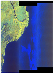
If you calibrate and then execute Range Doppler Terrain Correction your image is ‘right-side-up’
you dont need to change orientation of orbit
1-just calibrate your image (Radiometric calibration)
2-multilooking (if you need it)
3-geomertic correction ( Radar-> geometric-> terrain correction->Range Doppler Terrain Correction