According to the source code in ps_select.m from line 262~267:
i_min=max(ps_ij(1)-n_win/2, 1); i_max=i_min+n_win-1; if i_max > n_i i_min=i_min-i_max+n_i; i_max=n_i; end
The value of i_min or i_max can not be negative if the if statement is not true. However, once the if is true, i_min will equal -n_win+1+n_i, where n_win is the parameter clap_win in step 2, which equals 32 by default, while the value of n_i depends on both the parameter filter_gird_size, which is also the parameter in step 2 and default value is 50 meters, and the size of pixels, which default is 5m20m, so, the minimum of you subset should let n_i(or n_j) equals 31, means it should larger than 3150/5=310 in col and 31*50/20=77.5 in row.
But actually I do not meet the problem as you do, so you should test it by yourself, increase the size of your subset, and maybe the problem can be solved.
Sharon, make sure that you are using latest version of SNAP software, you can check by entering in tools menu -> plugins and clicking on “check for updates”.
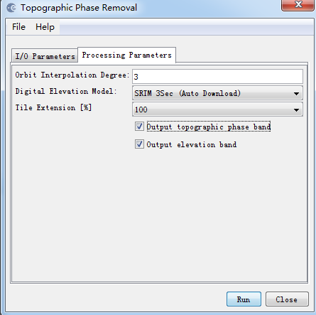
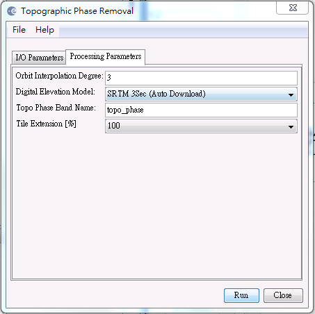
In topographic phase removal you should have options to export the elevation band.
It´s trying to download an old version of the software (snap-rcp-5.0.6 is outdated by 5.0.7). Did you click in “check for updates” to reload the list of packages? If it´s not working I would reinstall SNAP.
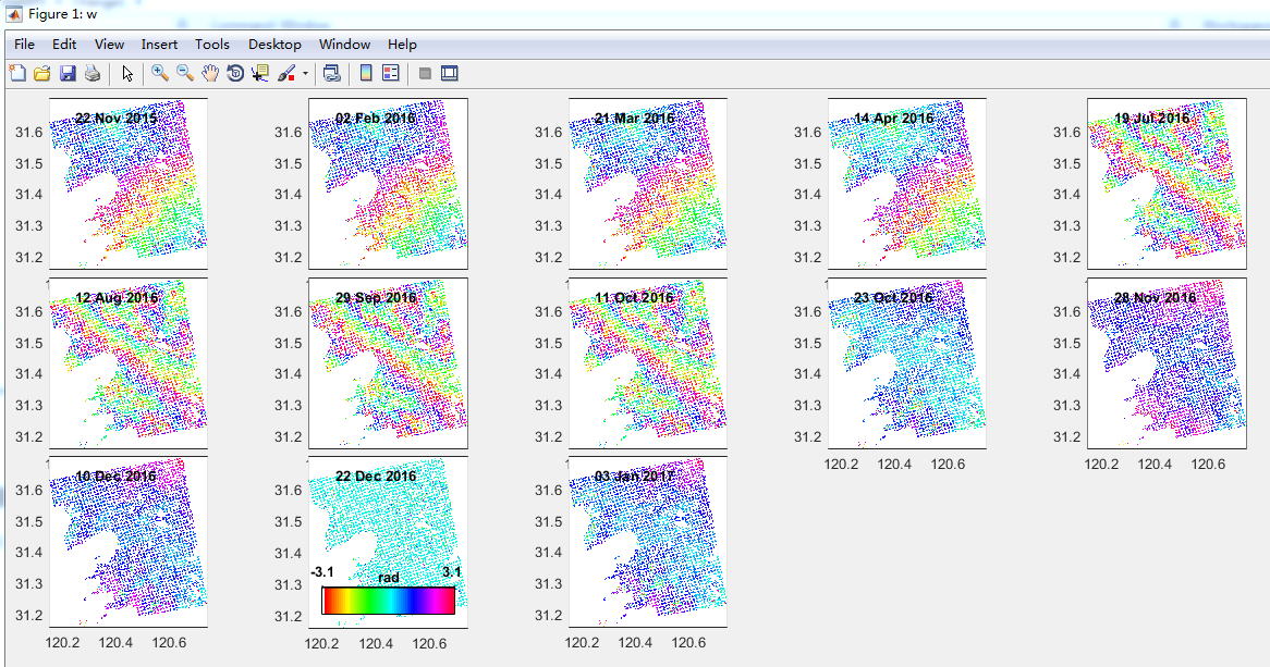
I have 13 images(1 master and 12 slaves), I split them into 3 stack(each has 1 master and 4 slaves) and export them separately, after I merge them and process them by StaMPS, I get the result as above(the 12th ifg is the master-master ifg).
The PSs seems right, because the fringe they formed are just like ifgs. However, it is very strange that 1-4 ifgs fringe are similar, 5-8 ifgs fringe are similar, 9-12(except master-master) ifgs fringe are similar, but they are quite different from each other. And the similar ifgs belongs to same stack.
I was thinking it maybe in the interferogram formation step, I have done Substract flat-earth phase, since they belong to different stack, the result might be different.
I tried not to substract flat-earth pahse in interferogram formation, but the result is not good, fringes are too dense. Maybe put all images into one stack can solve this, but it requires very high memory.
Do anyone has an idea or meet the same problem?@katherine@ABraun
Fei
Dear @FeiLiu, I met a similar problem: in my case the results of topographic remove tool are wrong.
Have you compared interferograms (after topo remove) in your stack with results of single pairs?
Thank you for your hint, I just do the experiments as you said, you guess right, the stack topo romoval result are different from single pair, but the ifg are same before topo removal, and just like you have described, the topo removal of stack has some problem and I can not get right result. Do you have any progress now?
Dear @FeiLiu, i’m sorry that you have this problem.
I contacted @lveci last week but I haven’t had answer. I haven’t had time to check the source code, expecially beacuse i don’t know java language. I think that this is a big problem for not expert users. @ABraun Have idea about who I can contact?
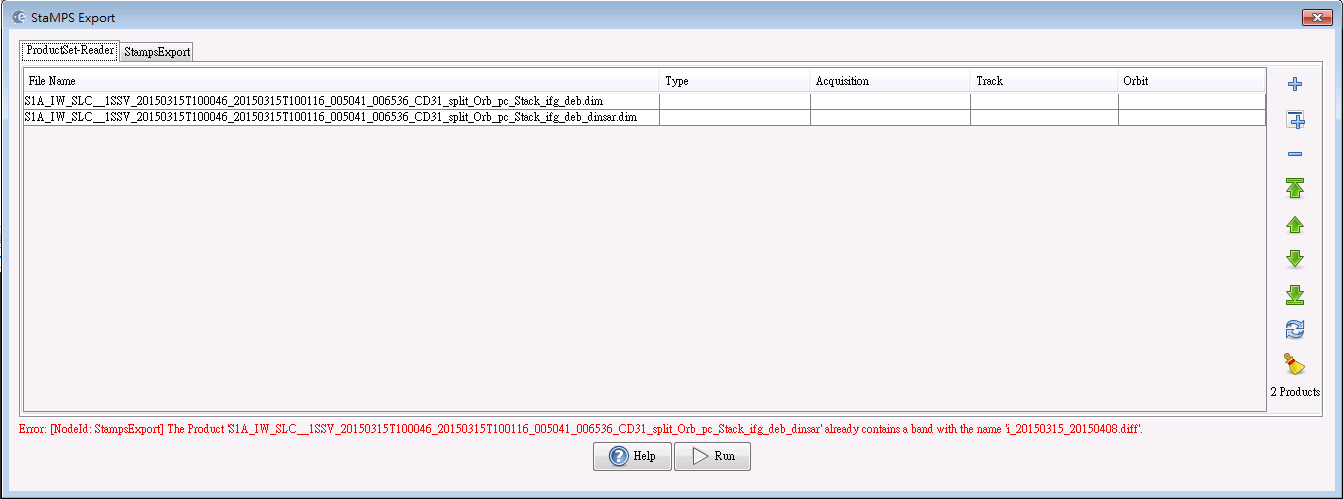
Anyway, as i wrote in another post, i bypass the problem with the creation of a stack with results of single pairs elaborations (in this case you must rename all images removing “slvx_xxxxxx”, otherwise StaMPS export doesn’t find the correct images).