Hi everyone.
I’m not sure what happened to my interferogram image. The output image was only half. Does it due to the low coherence because of the effect of the vegetation? Actually, the purpose of my analysis is to study the potential of R2 SLC data to estimate paddy crop height. Could we get features height from DSM-DEM or DSM-DTM?
If anyone could clarify and explain, I really appreciate. thanks a lot. 
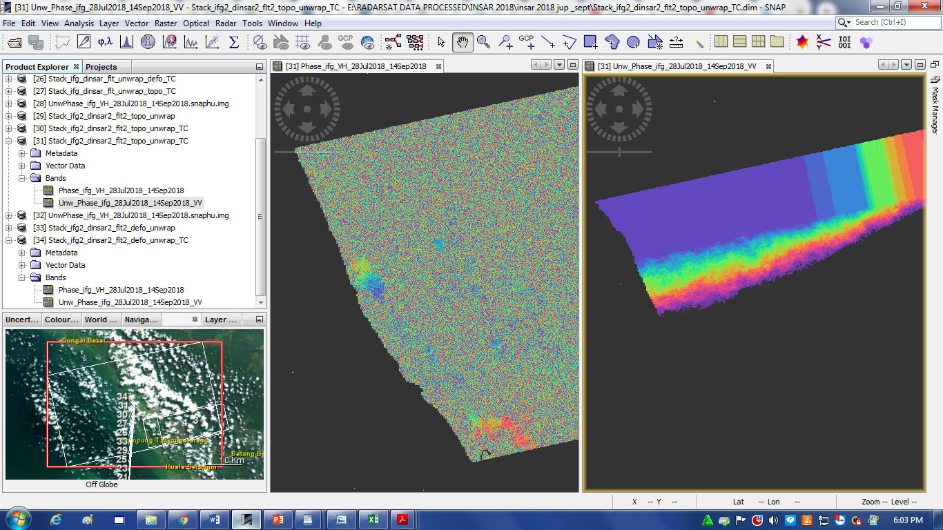
Yes, it looks like you have low coherence because of vegetation. Almost all of your interferogram is pure noise (random colors), so the coherence is near zero. There are two areas near the coast that seem more coherent, probably cities?
You can’t make any measurement from InSAR data where the coherence is near zero. You probably would get better results from L-band data, such as ALOS or ALOS-2.
yes both are cities area. ok i will try with Alos-2. thank you so much for your feedback…really appreciate it.