I have not been able to use an external DEM in topo phase removal operator.
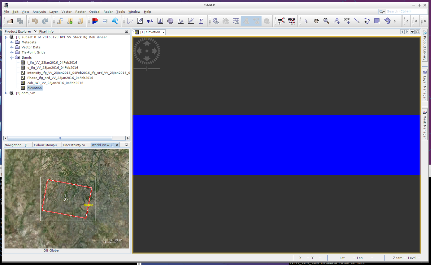
The resulting elevation band is a matrix of zeros (see figure below)!!!
My DEM works fine in other operators such as TC and Back-geocoding.
And the extent of the interferogram in which I am trying to remove topographic phase is contained in the extent of my DEM (see figure below).
Do you have any idea why this is happening?
Thanks in advance.