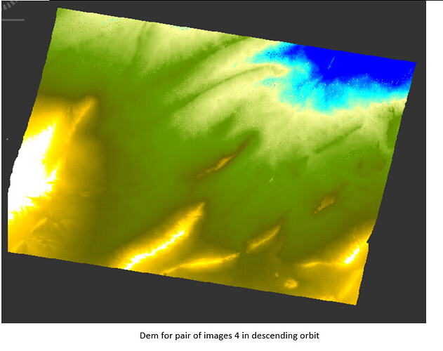
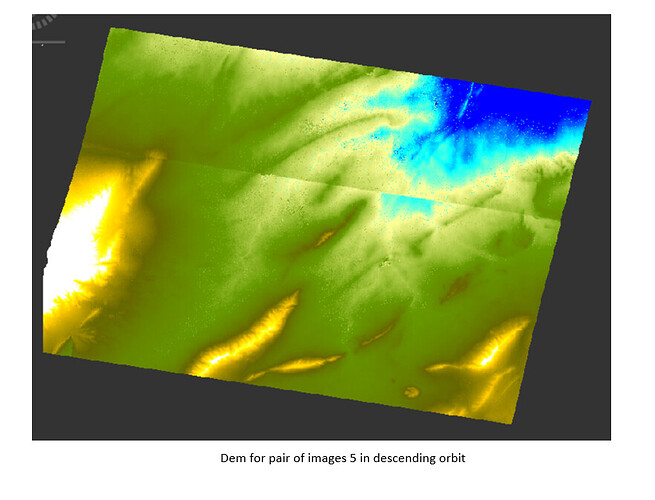
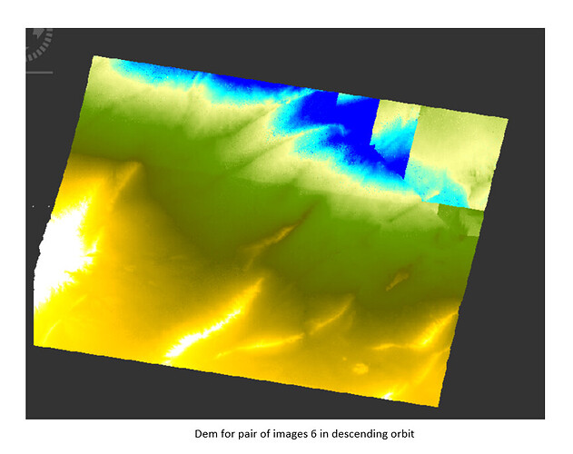
S1A_IW_SLC__1SDV_20191004T153319_20191004T153345_029311_0354C1_C6CC
S1B_IW_SLC__1SDV_20191010T153226_20191010T153253_018415_022B06_37AA
bursts in master are 4-5 in IW2
bursts in slave are 7-8 in IW2
I want to generate DEM in this area
thank you all in advance
We assume S1A is the master and S1B is the slave. The problem is that bursts 4-5 in master and bursts 7-8 in slave do not cover the the same area. There is one burst shift. Try use burst 8-9 in slave and it should work.
can you provide more details, i was facing same problem, but i solve it, and i think i can help you
thank you so much
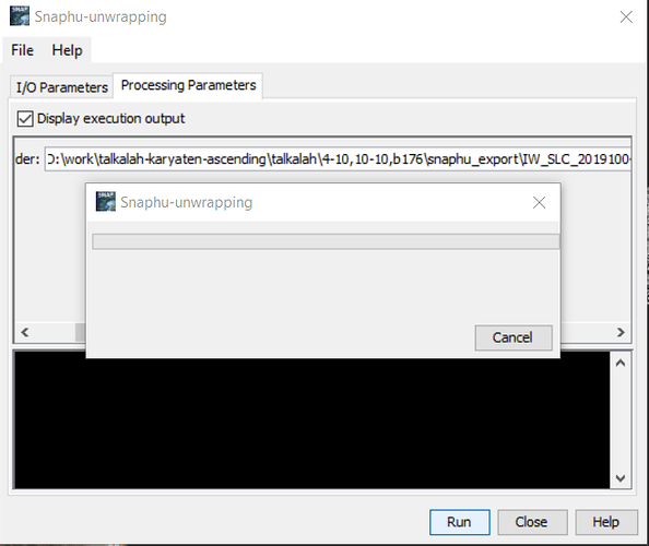
please,I do subset to interferogram befor unwrapping but I don’t get any product after execute phase unwrapping
Was snaphu installed correctly?
snaphu is installed correctly, snaphu_unwrapping today does not work . yesterday was doing but when finished there was error at row9 but the processing finished without ant resulting product
Did you apply it on the same data? Before you run it again, please make sure to delete temporary files in the folder (unw_[…].img and the tiles folder).
I recommend running snaphu from the command line because it is less prone to configuration errors.
thank you so much. Iam running snaphu from the command line.
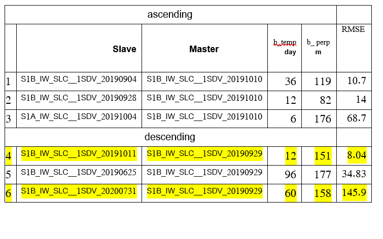
please, I have RMSE of the derived elevations for area of study, which were calculated in comparison
with the 557GCPS.(rmse=25 for ALOS 12.5 and rmse=4 for SRTM 30)
(RMSE=17 for DemInSAR(b_perp=119M and b_temp=37 day))
(RMSE=85 for DemInSAR(b_perp=82M and b_temp=12 day))
(RMSE=20 for DemInSAR(b_perp=176M and b_temp=6 day))
but I know rmse=5 for ALOS 12.5m
What do you think of these results?
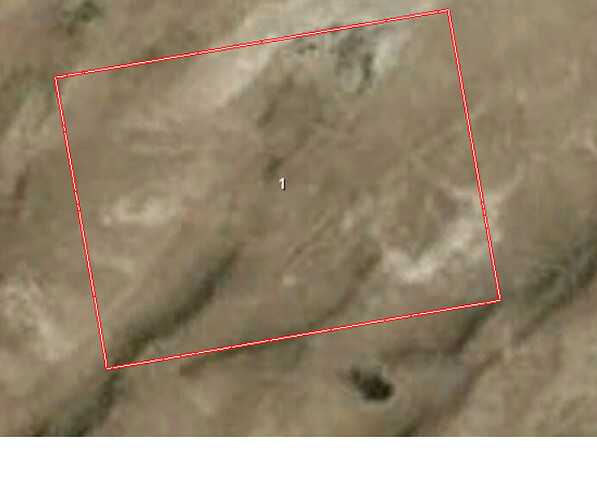
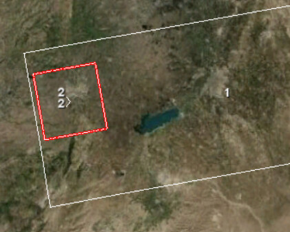
this is area of study
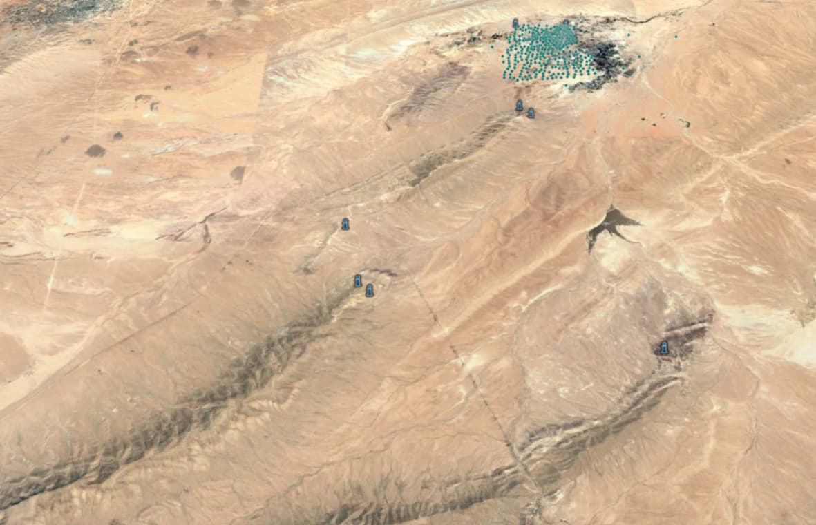
The location of the points of the study area

