I have done my analysis in SNAP and now I am come up with the displacement map but when I am exporting it to tiff and open it in ArcMap then its projection goes opposite. I mean its area is shifted from the real ground.
please illustrate your problem with some screenshots.
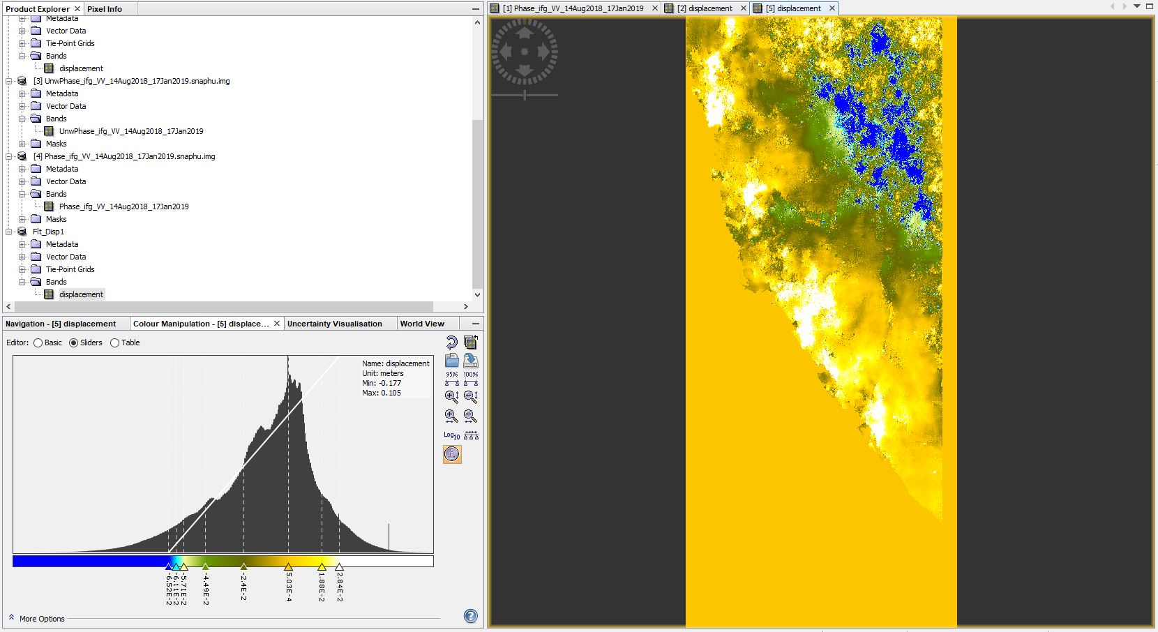
Thanks for your response. Actually after doing the whole analysis on the image its just like result from the actual area on the ground. Now it looks opposite to the actual area. I am sharing 3 pictures from which you can get an idea about the real ground and the processed image. I export it to tiff and open it in ArcMap but have the same as it’s in SNAP.

The product is still in slant range geometry.
Please apply Range Doppler Terrain Correction before exporting data.