Hello all,
I have an unwrapped interferogram made from Palsar-1 data that I want to convert to elevation. When I run the phase to elevation tool I get an output that looks ramped (using bicubic interpolation and SRTM sec1). However when I run the phase to height tool I get more of an output that’d I expect (except it is in radar coordinates and not elevation). I’ve tried multiple reference DEMs and resampling methods, is there any way to improve this process? Is there a way to convert height to elevation?
Any advice is appreciated.
Thank you,
Andrew
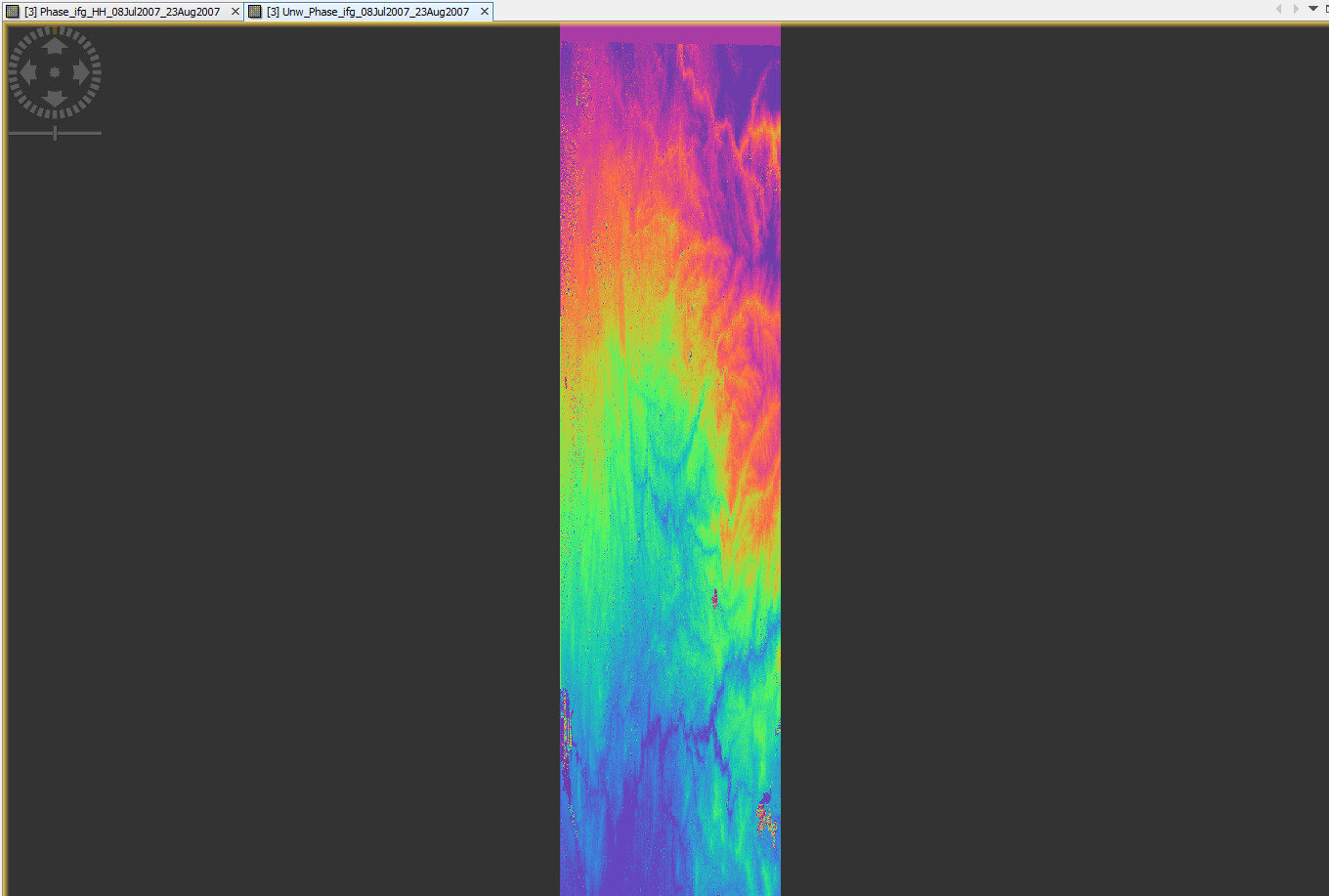
Wrapped phase
Unwrapped phase
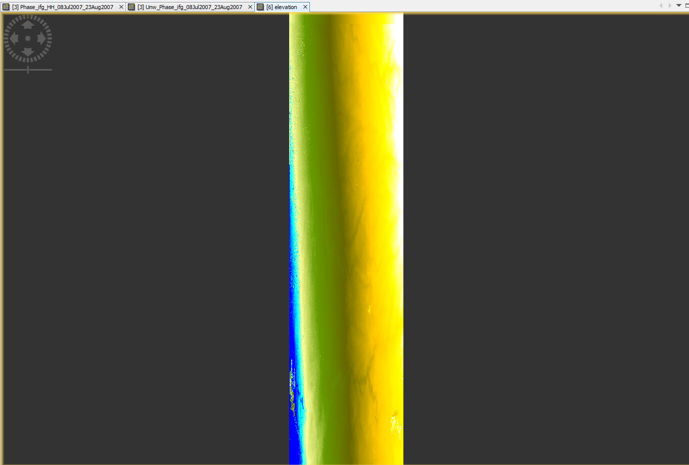
Elevation output from Phase to Elevation tool
Height output from Phase to Height tool
Hi @andrew.poley,
I am seeing the same type of results with DEMs generated with Iceye data.
Did you figure out why the ramp is introduced during phase to elevation but not in phase to height?
My guess is that the ramp is due to the inaccuracy of orbit data, but it seems that phase to height also relies on orbit data, so I am not sure.
Also, I am not 100% sure about the difference between the two outputs: elevation VS height (I read already many posts on the topic). When I look at the schwabisch method for phase-to-height, it seems that the height is the height above the ellipsoid WGS84, therefore, after Terrain-Correction, the output should be a DEM, right (having height values above the ellipsoid)?
Maybe, the only difference is that phase-to-height gives the height above WGS84 by default, while phase-to-elevation gives the height above the same reference of the external DEM, that can be any datum?
Could anyone clarify these points? cc. @ABraun @mengdahl
Hi @emmanuel, no unfortunately I wasn’t able to solve this 
I like your idea on the height above WGS84. Maybe that could be a work around, run phase-to-height then added the WGS to get height. Open to any other suggestions!