I am working with sentinel 1a data for deformation analysis and i have two doubts.
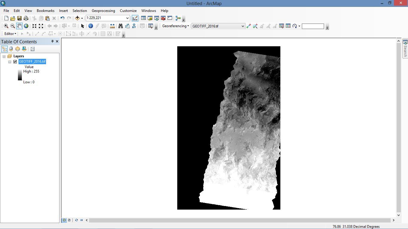
I have processed the image and got output for displacement using phase to displacement tool. I have converted the image into Geotiff format so that i could clip it to my boundary and create a map, but when i export it into ARCGIS the meter values are converted into values ranging from 0 to 255. How can i retain the meter value so as to process in the ARCGIS environment.
Once we have calculated the displacement for the area, is there anyway to know the direction of displacement. If so how do i do that. Either in SNAP or any other software.
I have attached the sample image here and kml file of the processed data. Plz do tell how to correct this problem…
How did you unwrap your image? There is an export step, snaphu step (you have to use another program for this step), and import back into SNAP step.
Once you have imported the image back into SNAP, you want to run the “Phase to Displacement” program, then terrain correct to georeference your image. It looks like you just have a picture here. In SNAP, under Radar, choose Geometric > Terrain Correction > Range-Doppler Terrain Correction. This result can be directly opened in ArcMap (which it looks like you are using in your picture). Your image will show up in the right place and the values in meters will be retained.