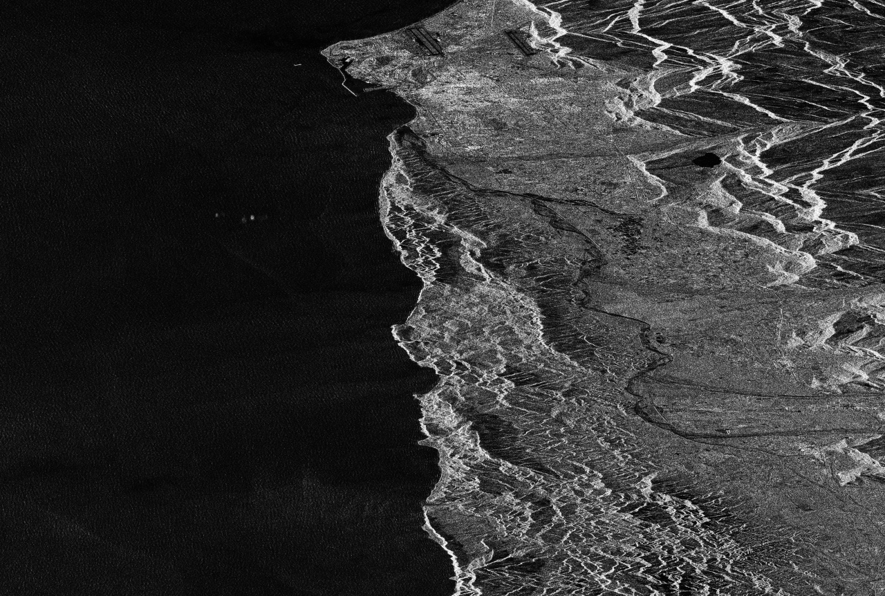
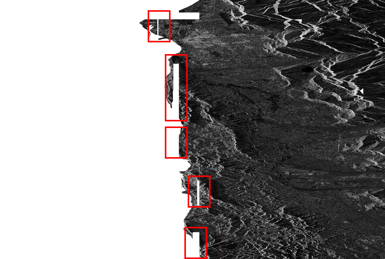
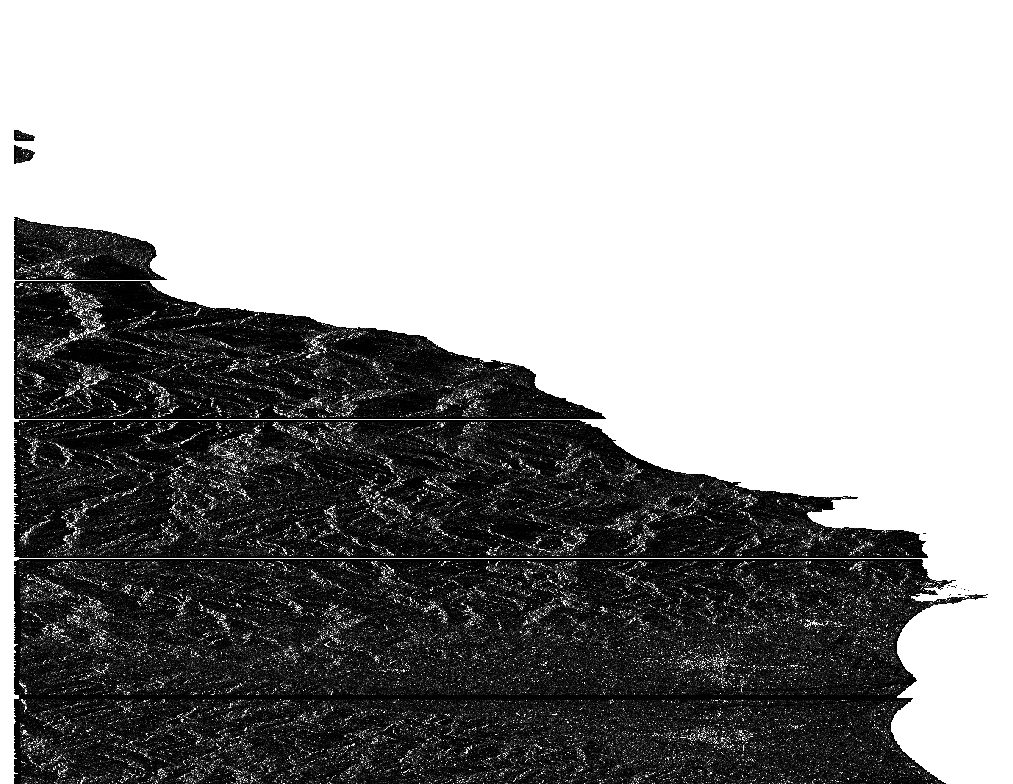
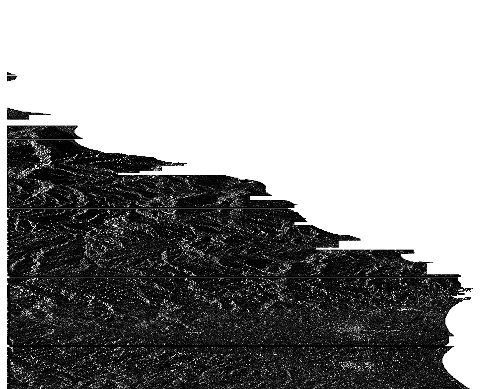
I try to do coregistration with Sentinel-1 image use S-1 TOPS back-geocoding operator. After update to SNAP 7.0, I found that when the option “mask out area with no elevation” is selected, some area will be mask even if it is part of land rather than sea. Here is an example:
Would you please to select SRTM 1SEC, this is an option, the other thing do your images have the same slice and orbit, might be the slave image doesn’t cover the burst or swath of master image.
If I understood correctly, both SRTM were tested and showed artefacts.
I don’t think it is related to orbit/slice because then the master image would not look correct either.
It looks like some sort of a tiling problem or propagation of null values. Have you tried selecting another DEM resampling method (e.g. NEAREST or CUBIC)?
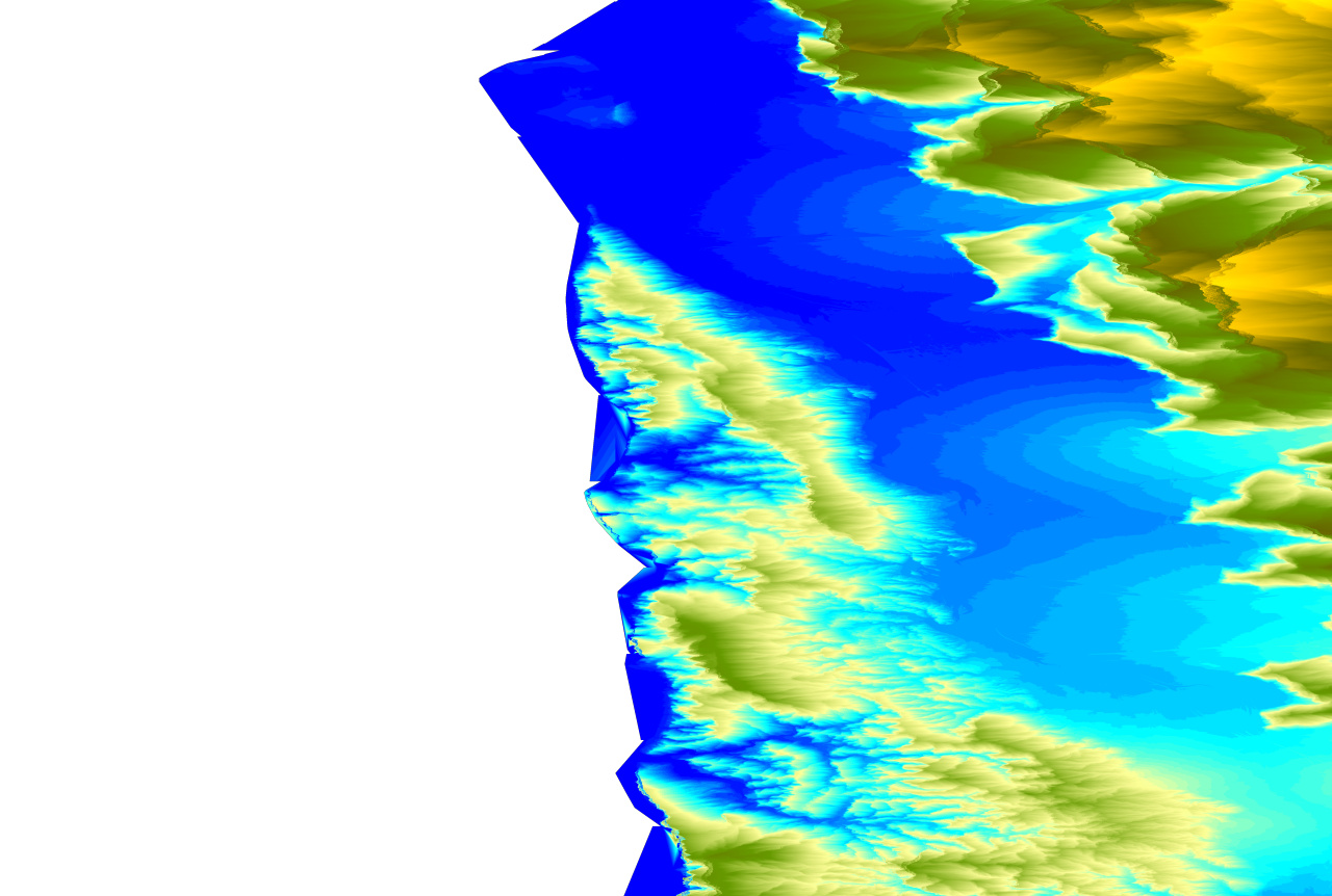
Thanks for your suggestion. I will try. I though this issue is about dem null value, also. But as you see, the area with problem has data in dem in the last plot, which is output from DInSAR operator “output elevation band”. This problem doesn’t happen before, so I start to consider that may be a bug of SNAP.
By the way, SRTM 1c work fine just because different setting of no data value, so the result include ocean area where is 0 elevation in SRTM 1c DEM data.