I am using Sentinel 1 for rice mapping application. I combined three datasets as a single RGB data to show the changes of rice area within certain period of time. I would like to export the RGB data to geotiff format so that it can be viewed in other GIS software. Problem is, when i tried to do this, SNAP keeps on popping error messages “image exportation is not possile”. Funny thing is, I have done this before with other dataset on previous project but couldn’t be done with these data. I have ticked all the options necessary for exporting the geotiff including spatial and band subsets, selecting “full scene” and geotiff output format, but nothing works. I have exhausted all the time and patience and still couldn’t figure out what went wrong. Hope someone could help me on this. Thank you.
you can open the img files in the data folder of each BEAM-DIMAP format directly in a GIS.
Hi ,
I have done my deployment of target in the site and collected IW data of sentinel. Please let me know , is Snap tool suitable to find out the power value of pixels?
I am using matlab to process the tiff file of GRDH image, so that i could extract the power from each pixels using interpolation. Using SNAP Tool i could able to locate my reflector in the GRDH image but when i tried to open the same tiff file (file/measurement/aaa.tiff) using geotiffread it apears as a complete dark screen…
Please kindly guide me to locate the target using matlab…
Thanking you
Hello sir,
I am having trouble exporting the .dim file from SNAP to tiff. I have tried extracting the band and then exporting as Bigtiff and as Geotiff as well. But I am still getting a blank tiff file.
I would appreciate any help. Thank you in advance.
After export:
please go inside the .data folder of your SNAP product, you find an img file in there which you can directly open in ArcGIS without any further need for export.
Export of products from SNAP

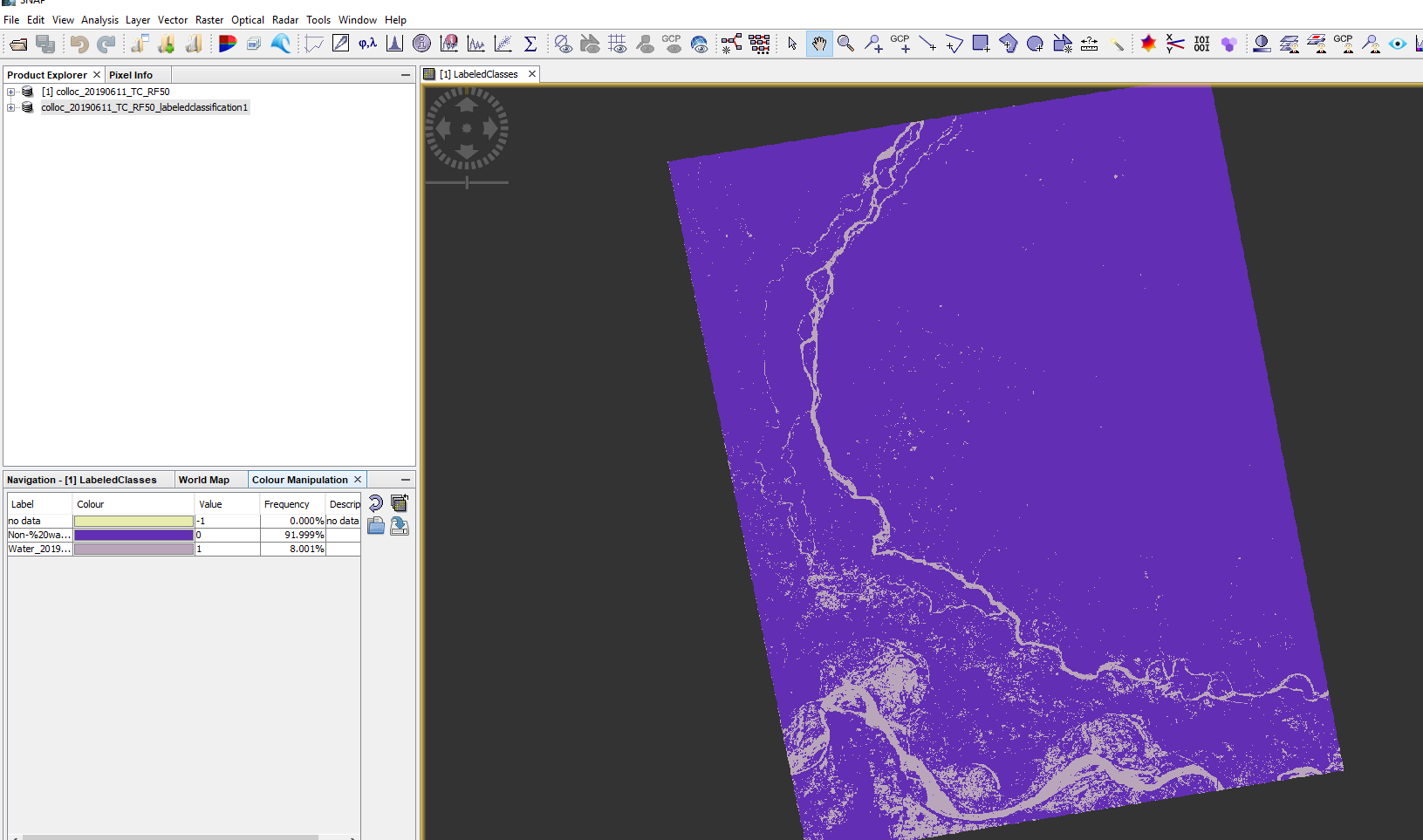
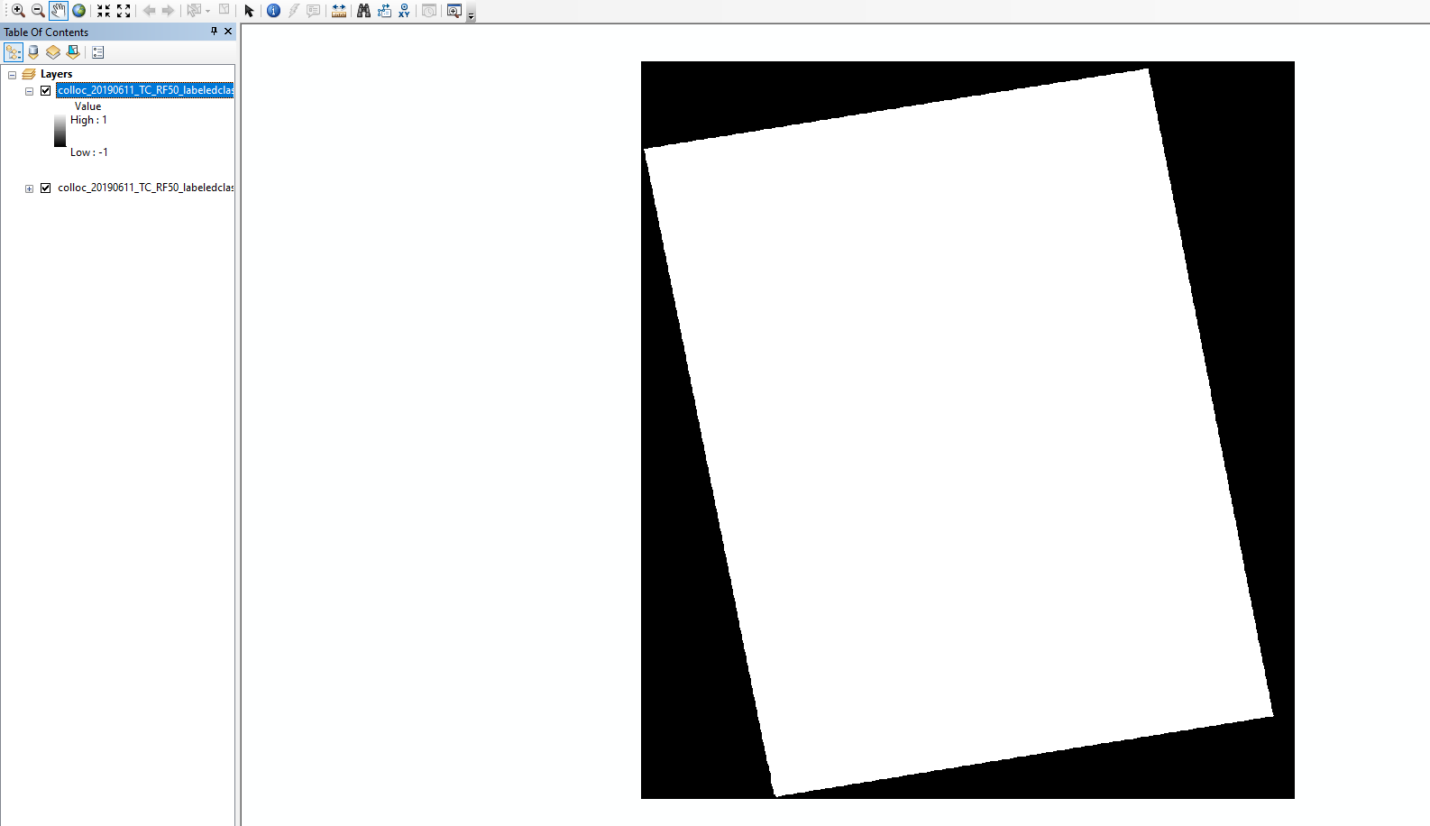
Please set -1 as no data in the raster symbology of ArcGIS.
Some more notes on are given here: Export of products from SNAP
I apologize for the late reply.
It worked!! Thank you 
I assume reclassify tool does the same work. It works that way too.