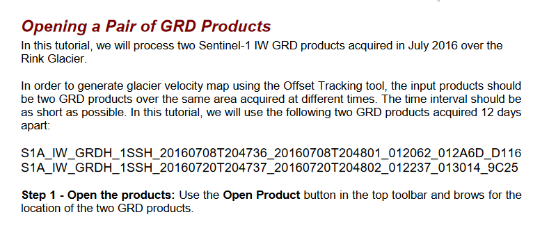
Two Radarsat-2 SLC images of multi-looking fine beam mode (MF-22) has been co-registered and offset tracking has been performed.
Co-register -> offset tracking.
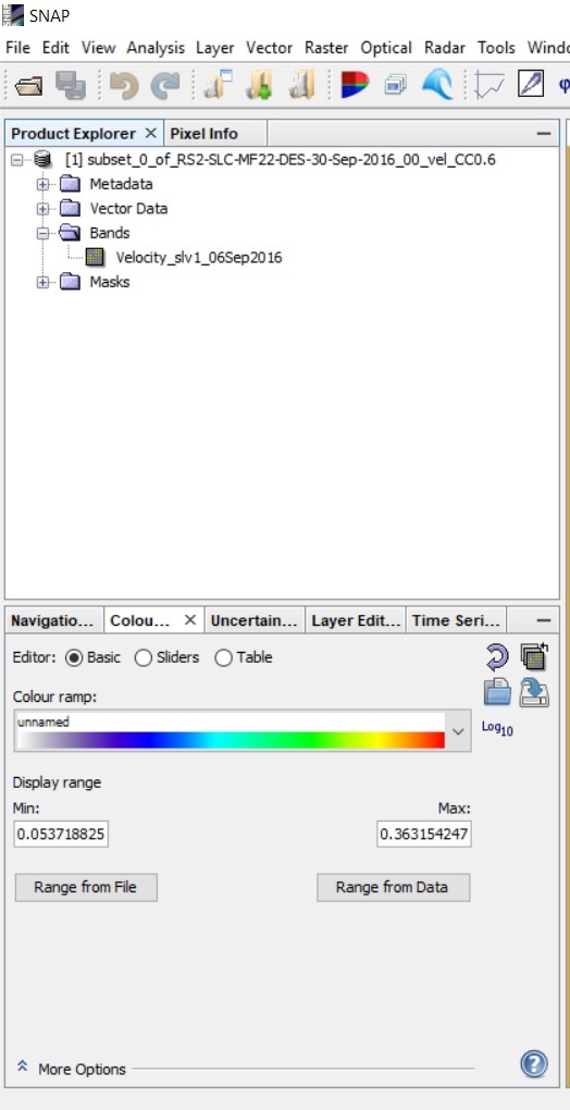
Offset image has been generated along with GCP movement vectors.
when I try to convert to Geotiff and open in GIS software to export as a map for a particular portion, the image showing that it is not georefereced or spatial reference is missing.
actually, there is no need for reprojection after the Terrain Correction step as you already define a target coordinate reference system. Also Converting to GeoTiff is not necessary, you can directly open the img files in the data folder in almost any GIS (QGIS, ArcMap…)
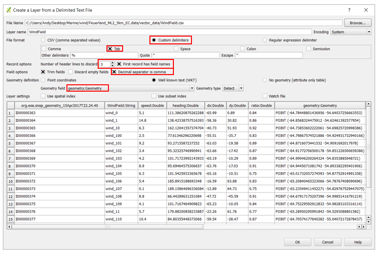
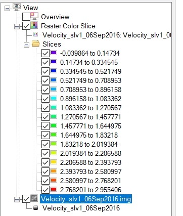
If it is the same as in wind field module, the movement vectors can be found as a XML or CSV file
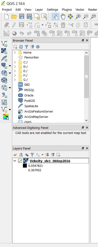
The XML can be opened in Excel and stored as a table with coordinates which then can be opened in any GIS . Here, I imported the CSV data of wind field estimation directly from the data folder in QGIS:
after the above step as the result is Beam-DIMAP format, It is not supporting to open in QGIS.
When I convert the data type to Geotiff or at the Co-register -> offset tracking step it self If I change it from Beam- DIMAP to Geotiff : The same issue I am facing as “the image showing that it is not georefereced or spatial reference is missing.”
If Terrain correction is sufficient to get the projection for the result image, after terrain correction also there is no data for visible but over the image lat long can be monitored.
If you write a Beam-DIMAP file, there is always a header file (*.dim) accompanied by a folder called *.data. In this folder, there are image rasters (ENVI format) which can be opened in QGIS.
Could you let me know the link for all the available tutorial and material from amazon aws.
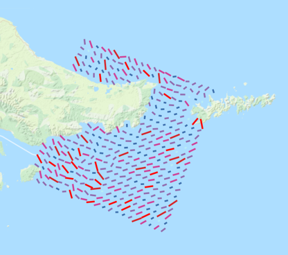
I have tried to import the vector file in qgis. but I can see only point data but not movememnt vector. could you provide the steps to import and visualize movement vector in qgis if a method is already in practice…!
I guess this is related to the issue reported here:
Each GIS has its own way of scaling colours so it is not necessarily the whole range which is displayed. Some GIS leave out outliers in the histogram to get better contrasts.