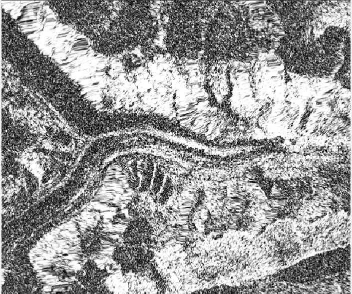
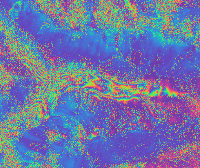
I have been trying to obtain the glacier displacement map using SNAP 4.0. For which I have tried several SAR image pairs. The last pair I tried was of 6 days temporal baseline of swiss alps. I get interferogram some fringes visible but there are many discontinuities. The coherence is also low. Below are the screen shots of the coherence and interferogram (flat earth phase removed, topo phase removed, Goldstein phase filter applied, geocoded). So far this is the best result i obtain.
Does the use of VV or VH polarization have effect? I applied both and found very less differences.
Please suggest me on how can the results be improved?
I would really appreciate if someone can run the process and confirm the results. I used IW3 and the glacier lies in burst 7 of 6th oct and burst 6 of 12th oct.
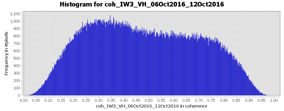
I don’t think it’s a bad coherence if roughly 70% are over 0.35.
It depends on the movement of your ice bodies and possible vegetation if some areas decorrelate quickly. Also atmospheric disturbances and the quality of your DEM influence the result. Have you already compared the SRTM with the ALOS World DEM?
I agree that the coherence is good in the areas surrounding the glacier but in the glacier it is very low. I am aware of the fact that motion of the glacier could cause decorrelation but this is mountain glacier which moves less compared to the greenland glaciers so motion related decorrelation should be not mouh of big problem?? there is also no vegetation in the area.
No, I have not tried ALOS World DEM yet. Do you think it might provide better results?
I will try the DEM. Yes, I also have experience with offset tracking.
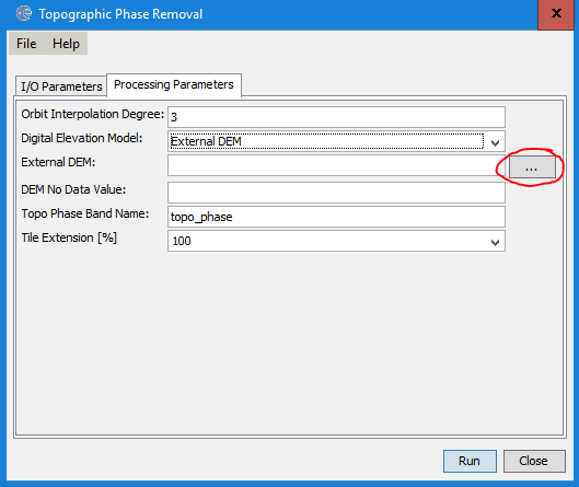
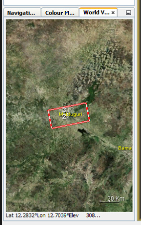
Can you guide me on how to use the external DEM because there are multiple files to cover the area.
you first download the single tiles and mosaic them (in QGIS, for example, but also possible in SNAP).
It’s important that you save the mosaic in WGS84. Then you can select it in the topographic phase removal module as an external DEM:
Did you check in a GIS if the DEM is at the correct location? You can also import it into SNAP and see in the World View tab if both data sets cover the same area.