Greetings!
I am working on an ALOSPALSAR2 SLC product. My confusion is that "Does the Range Doppler Terrain Correction take care of Forshortening, Layover and Slope "?
I would greatly appreciate any help. Thank you in advance!
Greetings!
I am working on an ALOSPALSAR2 SLC product. My confusion is that "Does the Range Doppler Terrain Correction take care of Forshortening, Layover and Slope "?
I would greatly appreciate any help. Thank you in advance!
Range Doppler Terrain Correction geometrically corrects distortions in your image, regarding foreshortening and shadow. That means all pixels are at their correct location. But the intensities at those corrected areas can not be given much trust.
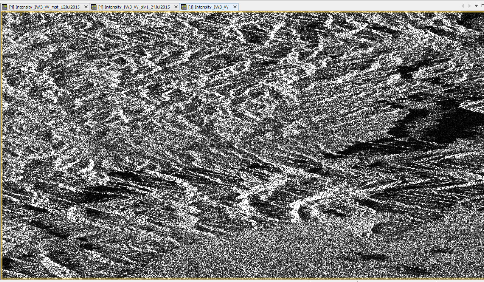
Will those distortions in the imaged topography affect the interferogram formation in Sentinel 1 images, or are they irrelevant?
The foreshortening and layover alters the correct locations represented by each pixel- as far as I know-, which creates a doubt the returned signal’s phase would be affected too
foreshortening and layover are geometric probmems caused by terrain. You can still retrieve a correct interferogram, but especially shadow areas can lead to problems (missing information) later.
In interferometry the images are coherent in the radar geometry, not in terrain corrected geometry. Do InSAR first, terrain correction later.