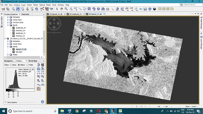
what is elevation band in snap and its usage? I am trying to derive reservoir water level, help me please…
In which context are you asking this?
An elevation band can be added within SNAP to a product.
It is used for terrain-correction, orthorectification, atmospheric correction, etc. It has multiple purposes.
Thank you Mr.marpet,
I am working on reservoir sedimentation estimation. I need reservoir water level.
Can I extract water level height in the reservoir from sentinel 1A data
To my opinion, elevation of water surfaces cannot be measured by SAR data because the phase information is not usable here.
The elevation band which can be added in SNAP is simply downloading the static DEM data of the different sources. Depending on the DEM, their information on water surface elevation is also not correct.
If you are interested in the temporal variations of water levels, radar altimetry might be the better choice. http://www.altimetry.info/toolbox/
Edit: Answer was posted in the wrong topic and removed.
Can you post a SAR or optical image o the reservoir?
Does the water-level go up and down by several metres? If you could find a location where a small change in reservoir-level moves the shoreline by a lot, you could perhaps find a link between shoreline-position and water-level.
I think this requires to have prior knowledge on the slope of the shore of the reservoir.
This is thus not straightforward and requires a fine DEM including information over submerged areas.
There is some work being done on estimating water level using InSAR. It works in only very special circumstances where trees create double bounce scattering with the water surface. You should be able to find some papers online.
