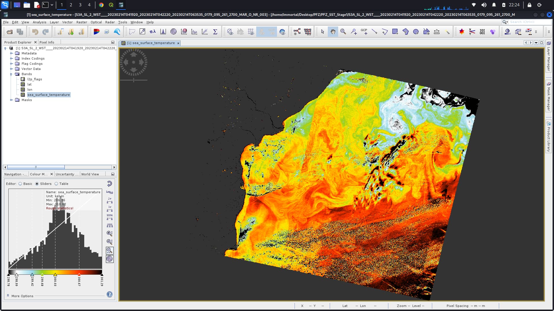
I would like to do reclassify that output GeoTiff file in QGIS for that I loaded data in QGIS then I could not find any band like Sea surfacce Temperature in QGIS Screen
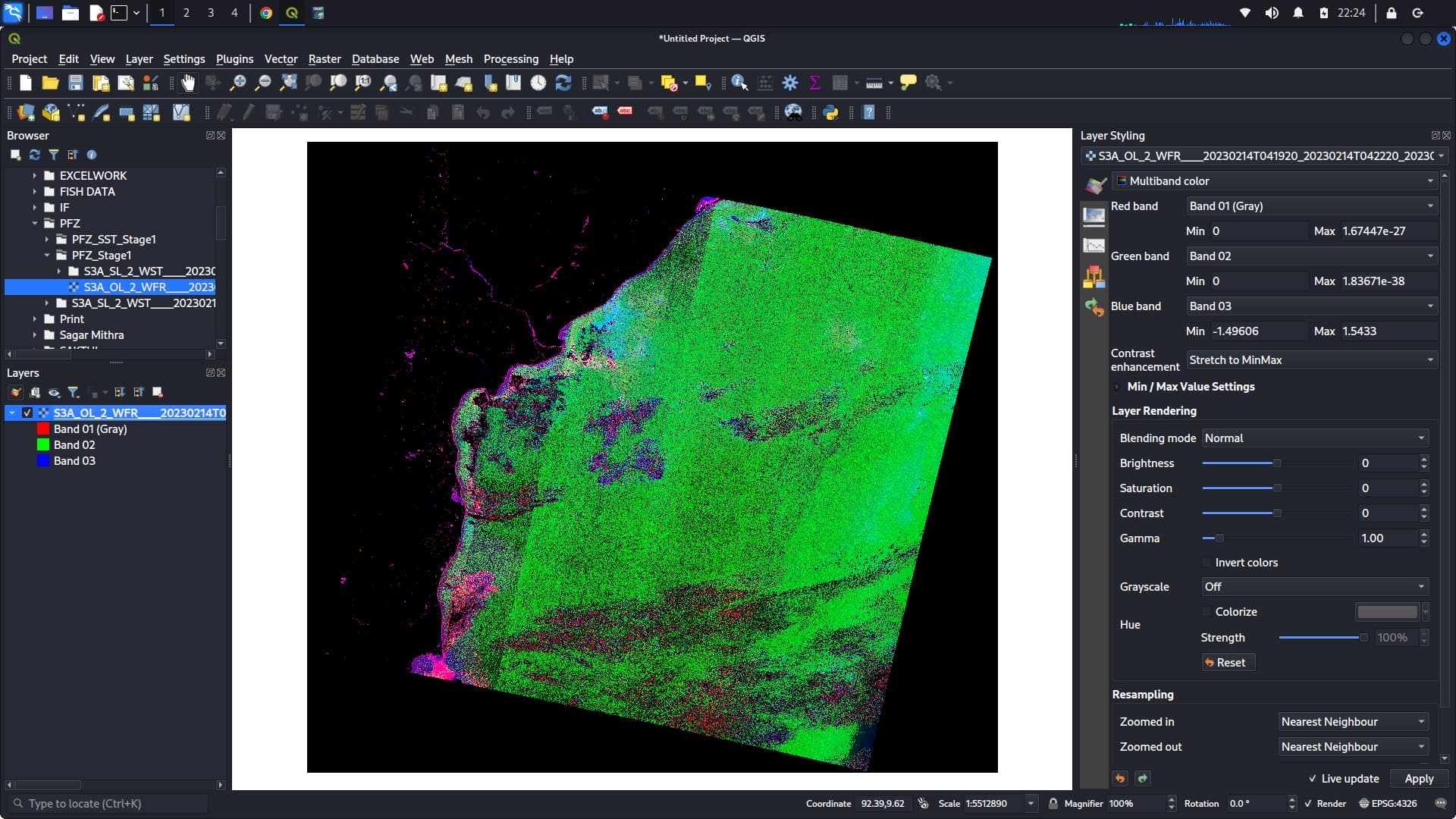
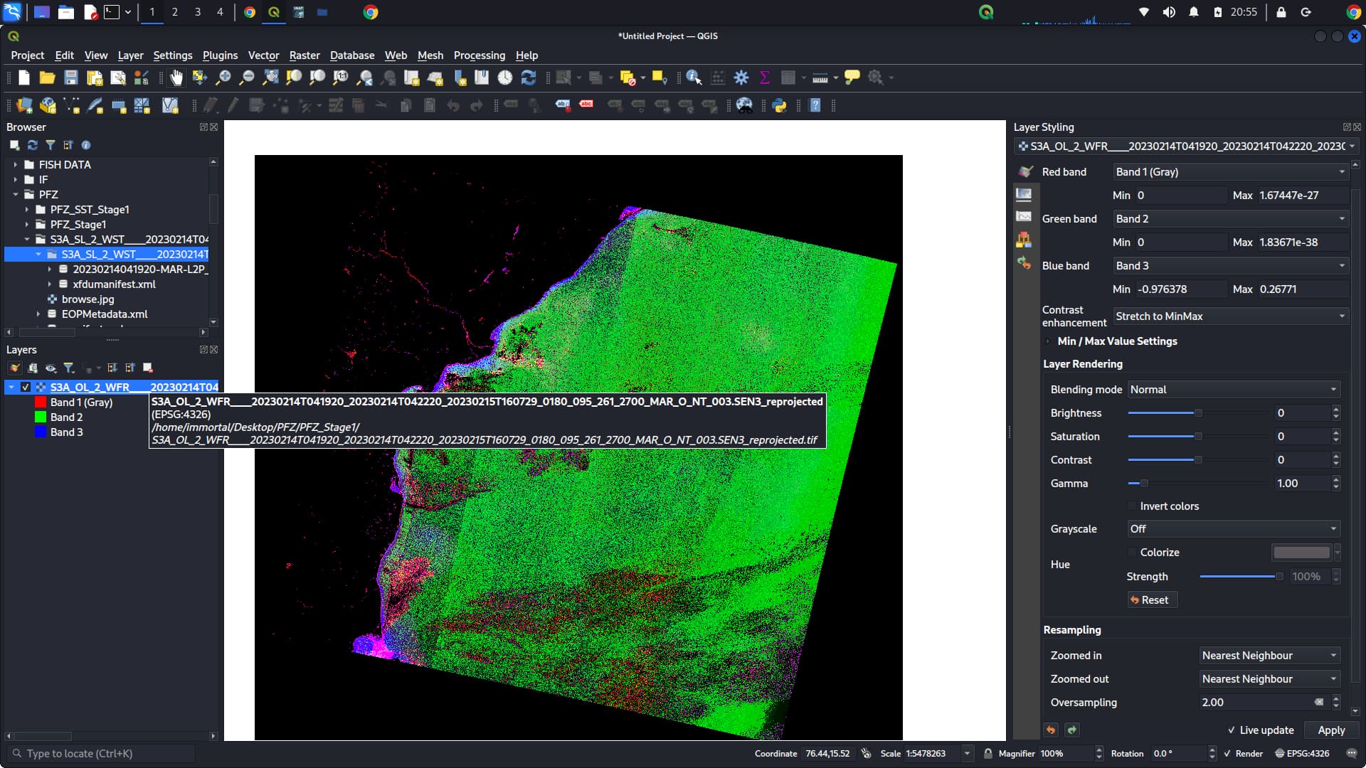
The band names are not preserved in GeoTiff.
You could use NetCDF instead, or you decide based on the value range which band is which or export each band separately to geotiff.
If you leave out the lat and lon band only the chl_a band will remain.
You don’t need the lat lon bands. You have reprojected the data, hence you scene will be geo-referenced anyway.
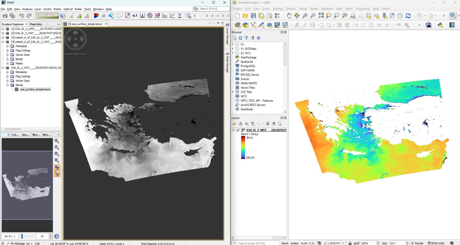
I have only one band the SST of SLSTR in the GeoTiff.
How do you export the data. Do you use from the menu File → Export → GeoTiff.
Or do you richt click on the view and select ‘Export View as Image’?
If you do the last option, please you the Export via the File menu.
‘Export View as Image’ only export images and are not intended to be used for further validation.
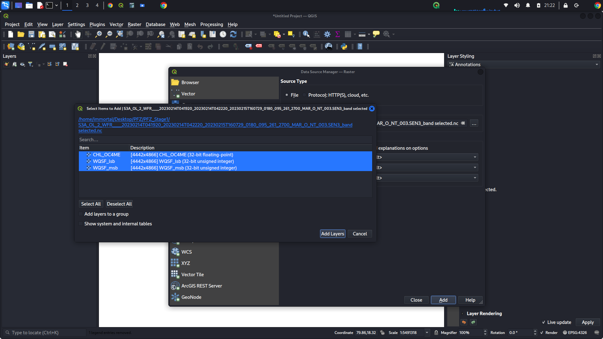
The problem is that the OC4ME band needs some ancillary bands.
The WQSF_lsb and WQSF_msb to define the invalid/valid pixels and the latitude and longitude for providing the location.
To get rid of the lat/lon bands you need to reproject the product. Could be UTM or WGS84 map.
To get rid of the flag bands you can use the Band Maths.
In SNAP Desktop simply right click on the band CHL_OC4ME and select Band Maths...
Give the band a new name and ensure that ‘Virtual (save expression only, don’t store data)’ is deselected.
Now you can create a subset, selecting only this band and deselecting all tie-point grids.
This product can be export to e.g., GeoTiff and should only contain a single band