Hello
I processed the Sentinel-3A, L1-OLCI data using SNAP (under Thematic water processing----->CR2CC----> OLCI) and generated varioous L2 products (e.g. gelbstoff absorption at 443 nm) but it is not geocorrected. How to do geocorrection so that I can use it further. Please refer the screenshot below:
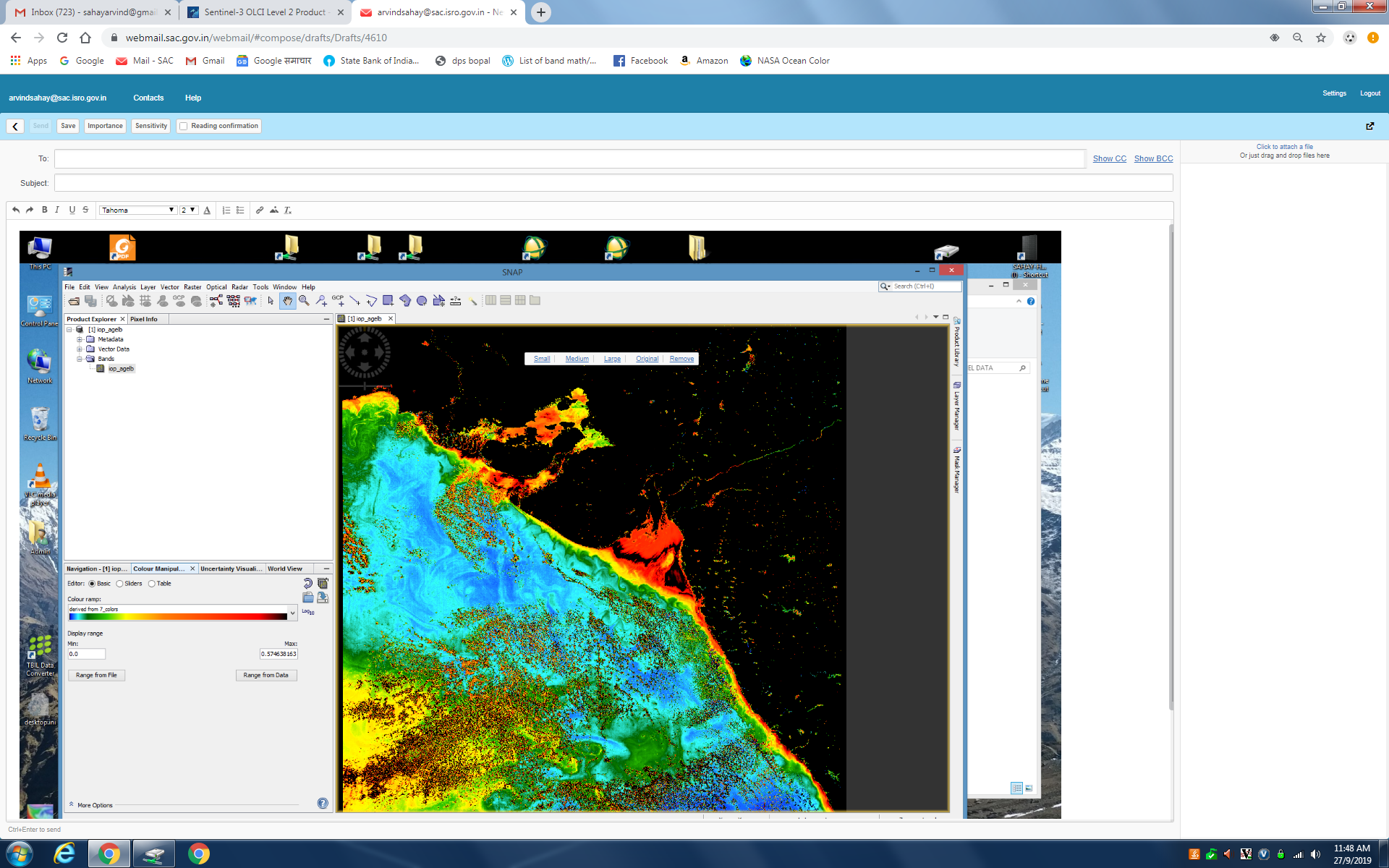
The image is geocorrected. But If you made a band subset, besides de CDOM band, you could select the latitude and longitude bands too to be added to your new product,
1 Like
@abruescas is right. The output of C2RCC is geolocated, in the same way as the input.
Somehow during your subsetting you lost the gelocation information.
Thanks got it!