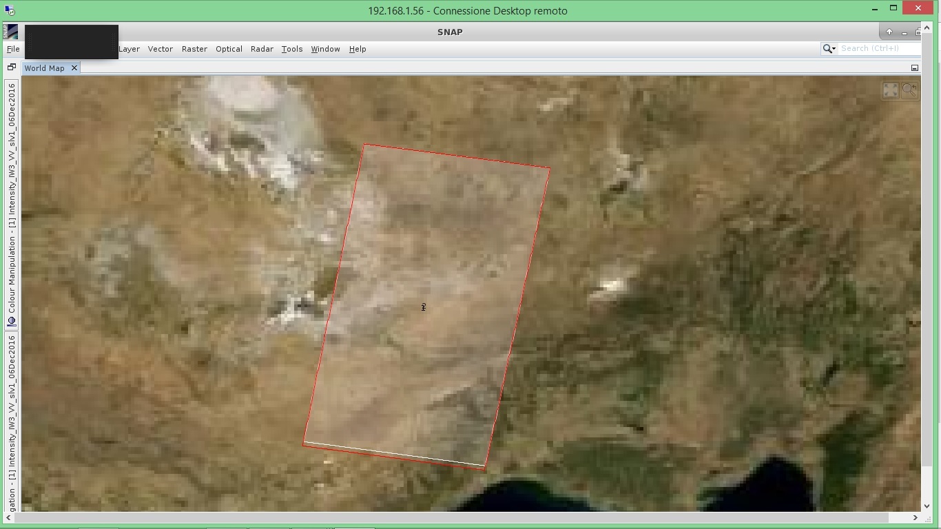
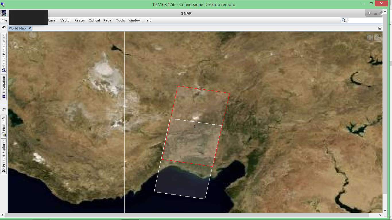
Hi everyone, I am working with SLC S1 products and I have to run the back-geocoding to coregistrate two S1 products. I made it for each subswath, but after the coregistration , I see something strange. In the image you can see the original master subswath with white footprint and the coregistered stack with red footprint. They are not perfectly aligned, even if they should both derive from the master footprint. Is this a correct behaviour? I do not think so…
The shift seems to be visible in the bottom part, where the red and the white footprints are not perfectly aligned, the two bottom lines should be perfectly matching , am I wrong?
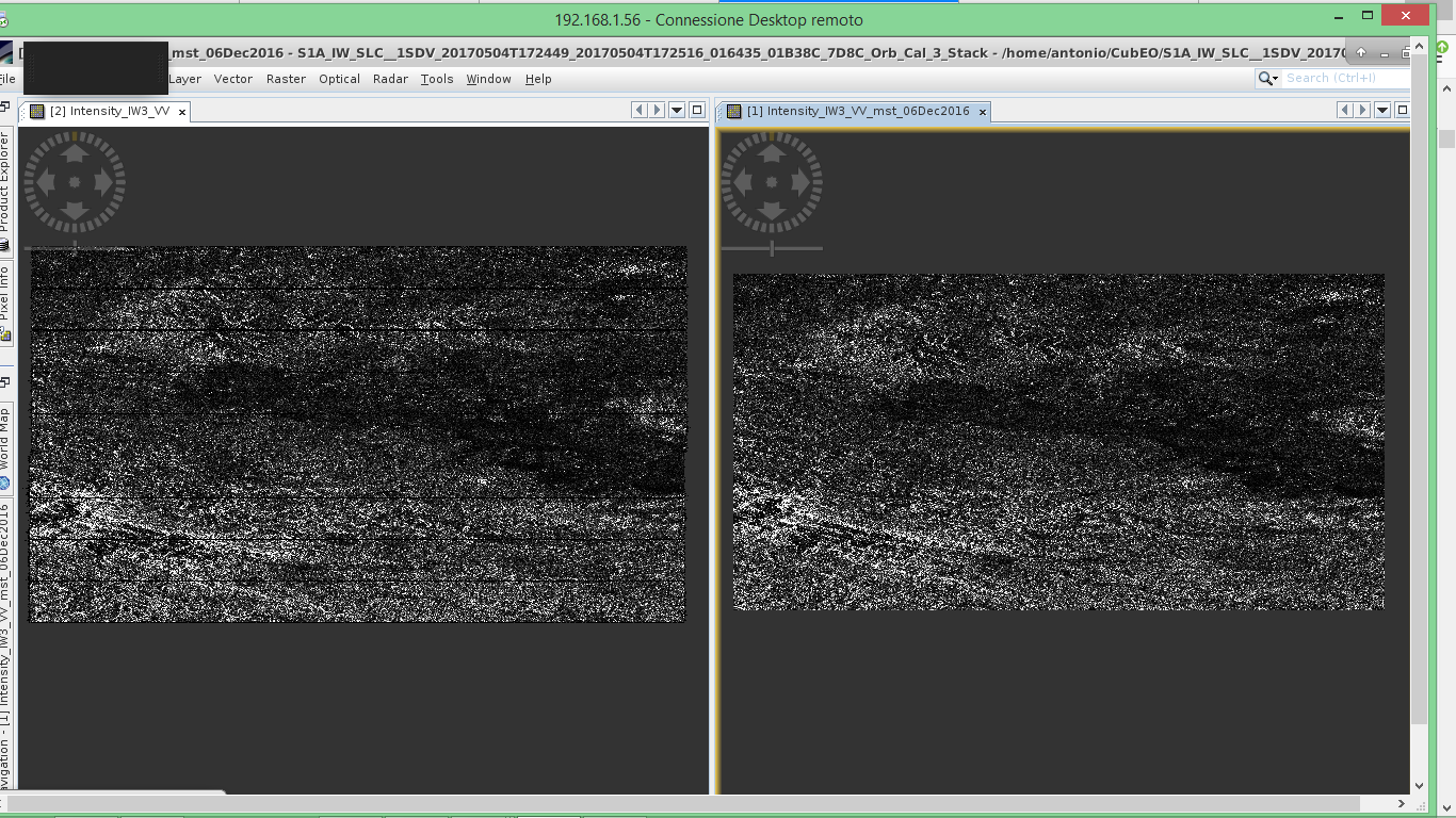
Starting from each S1 product I did :
apply orbit file ( Sentinel precise, and Polynomial Degree 3)
calibration
TopSar Split
And then, with the two corresponding subswath in input, the back-geocoding with bilinear interpolation for the two options and DEM SRTM 3 sec.
The TOPS coregistration seems to implement the same chain I prepared. I hope I made it clear
If you need more details @ABraun , just ask. And thanks for the support
The frames on the overview map are just estimated from the coarse pixel geocoding. Coregistration can actually work with that.
Did you check with an RGB image if both scenes match?
I am going to produce a more meaningful test, as soon as it will be ready I will post here the RGB as you suggested ! Thanks for your precious support!
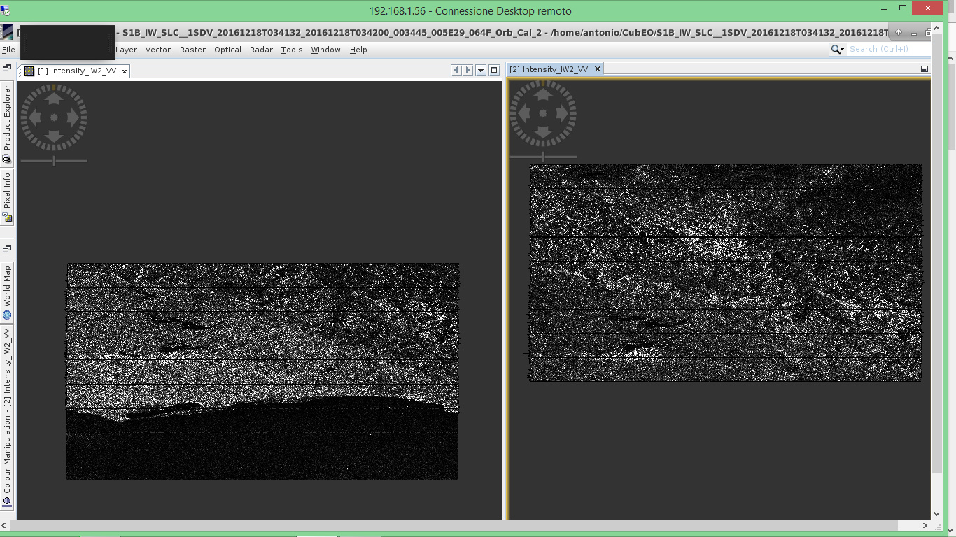
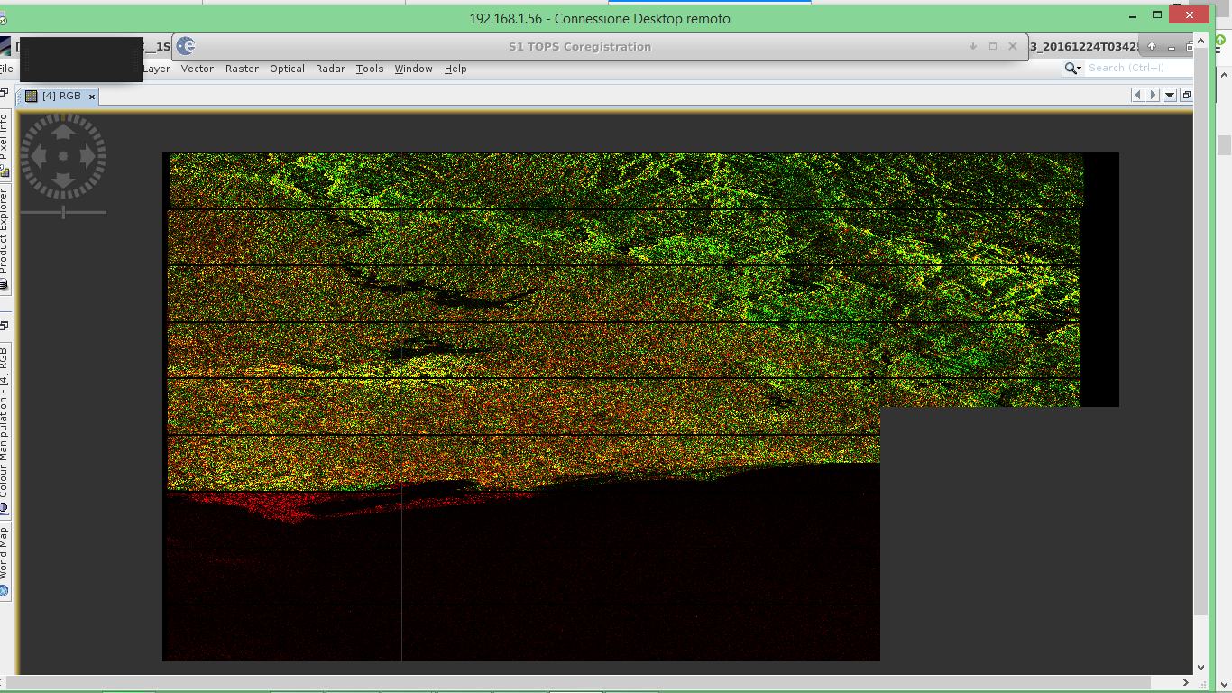
Dear @ABraun here follows the test I have run to see what happens about the coregistration.
These are the footprints of two subswath I need to coregister :
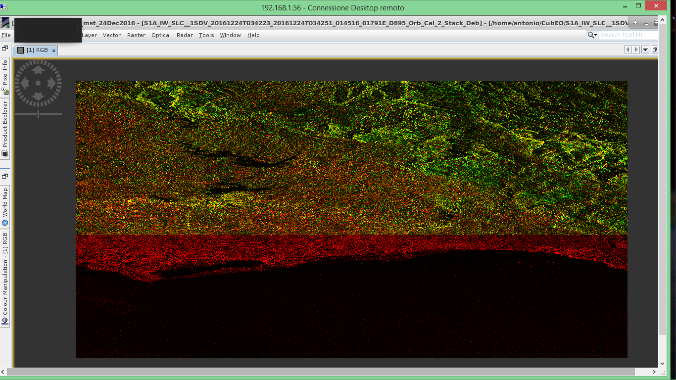
And finally the RGB image created from the stack of the two coregistered products, the RED and GREEN channels are those assigned to Master and Slave respectively.
the black water areas indicate theat the coregistration worked quite well.
It seems to me that the bursts are different in both images. Does the gren image definitely end at the present location or are the numbers maybe just shifted by 1-2 bursts?
In the TOPS Coregistration module you can direcly enter both scenes, apply Orbit files, select subswath and bursts and have them coregistered by cross-correlation.
actually you were right, the product for the green channel has 10 burst and I had selected the first 9,so I tried to select the last 9. I have run the TOPS Coregistration as you suggested, but now the result is this…quite weird :
I think that is just fine. Yellow and black indicate that both rasters are aligned. Now you can proceed to create an interferogram and after that Debursting to remove the stripes.
In addition to what @ABraun said, if you actually have a shift problem in the coregistration process, your two images will be totally incoherent and you will see it when making your interferogram/coherence map.