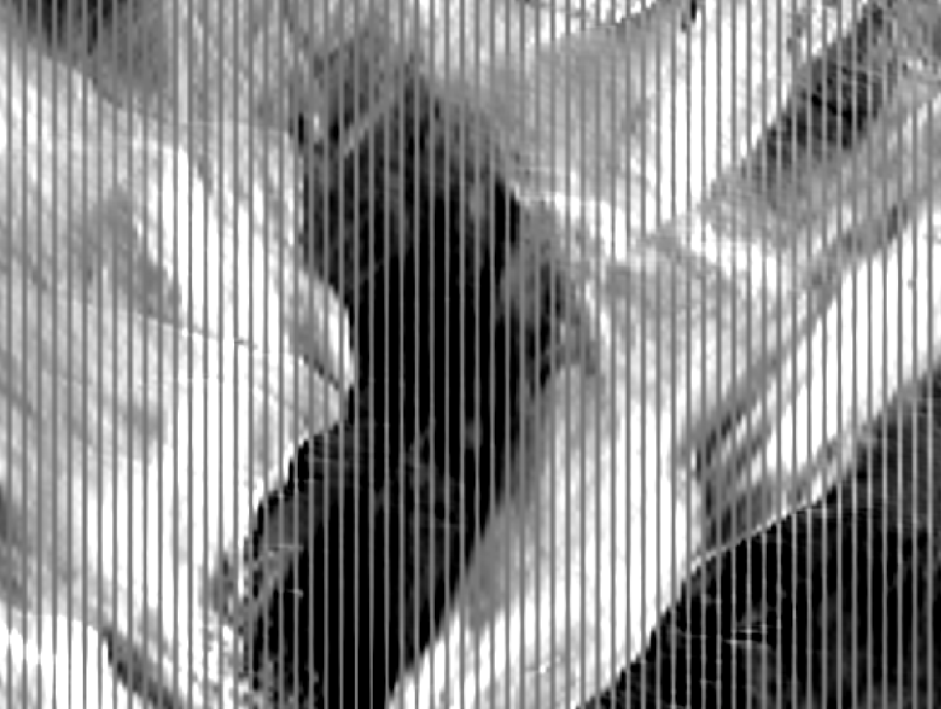
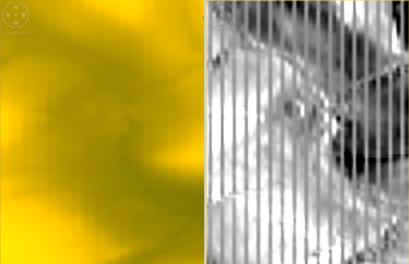
I am outputting incidence angle after terrain correction and found that with “Copernicus 30m Global DEM” I get funky stripes in the otherwise nice looking incident angle band.
Can you please try another DEM resampling method (Nearest, Bicubic, Delaunay)? It might be that the DEM resolution and the SAR resolution strangely interfere in your case.
Sure I can use a different DEM. But this is a bug I think or something else is going on and I was wondering if anyone else runs into the same issue and how it can be resolved for copernicus 30m. Would be a shame if we cannot use it.
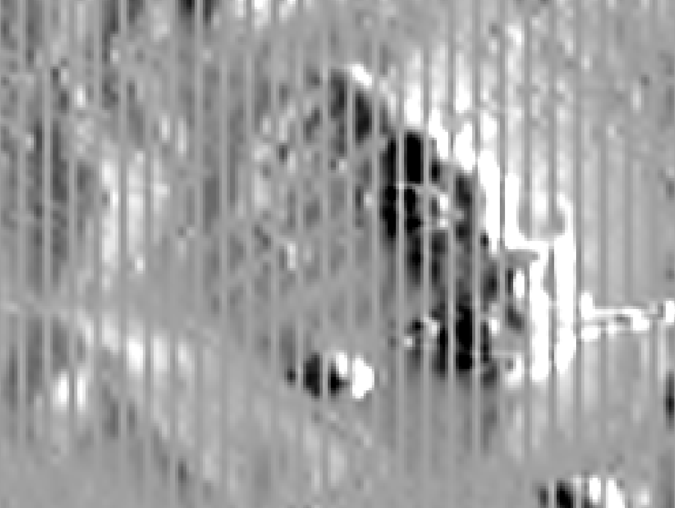
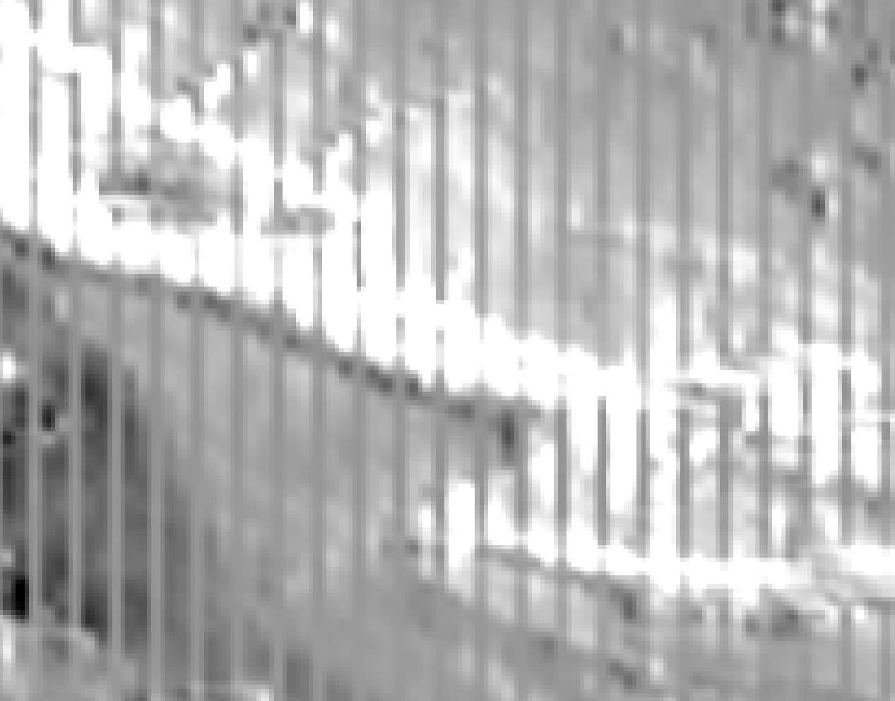
Here we don’t see the stripes in the DEM and the local incidence angle. If we compute the difference between the two DEM’s, we can clearly see the stripes which we believe are the source of the problem:
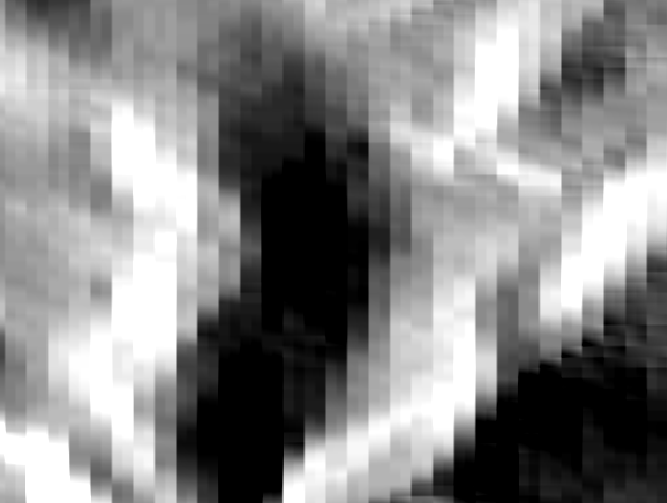
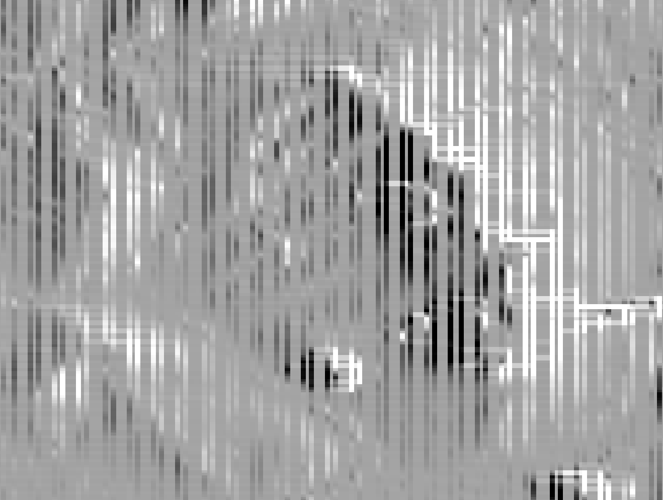
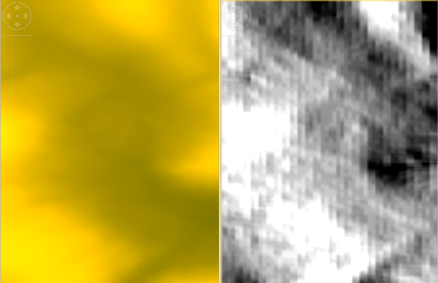
You are right, there is something off. Looks like every third column in dem is just a duplicate of the previous one. Here is what it looks like if I just subtract ever column from the previous one in the dem:
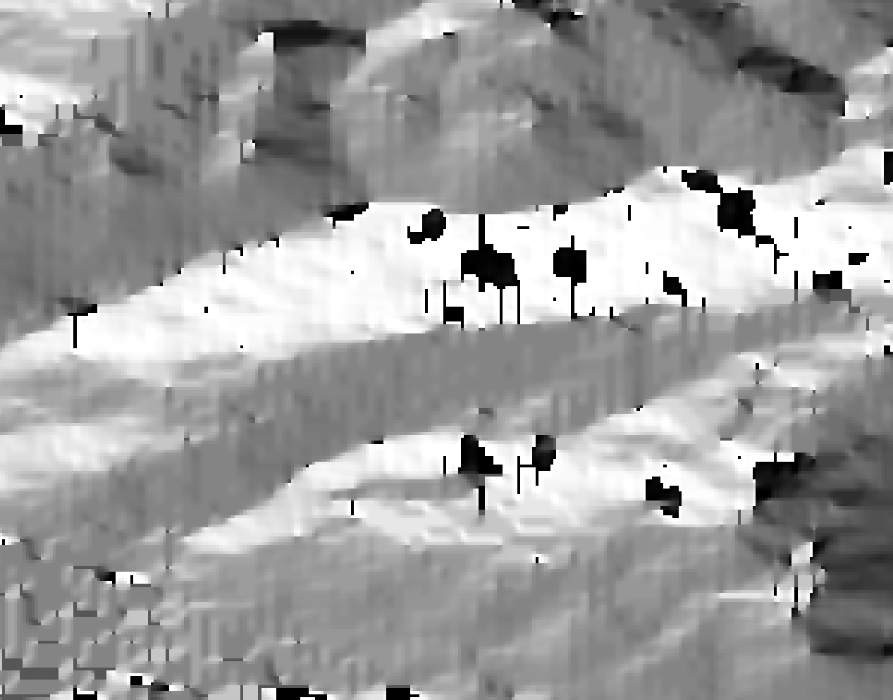
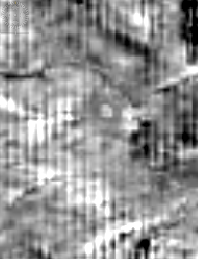
So if elevation difference every third column is 0 then it makes sense that in these columns also the incidence angle is always the same and that would explain the stripes.
@mengdahl Can you tell who is responsible to coordinate this issue? If the error comes from data handling inside SNAP we could of course create a ticket but if it somehow goes deeper, there might be other persons involved.