I’m trying to do the geocoding using terrain correction.
I have just a problem related to a strange deformation in the area where there are mountains (or in general areas with a high elevation).
If I use the Ellipsoid Correction I don’t have this problem but If I export the geocoded image in a format readable by a third part software like Google Earth or QGIS (KMZ or GeoTIFF) it results shifted on the left.
So, the only way to have an image perfectly geocoded is the Terrain correction but I have that annoying deformation/artifact.
What can I do?
Please try to directly open the img file in the data folder of the terrain corrected product in QGIS (without export to GeoTiff) to check if it already has this offset.
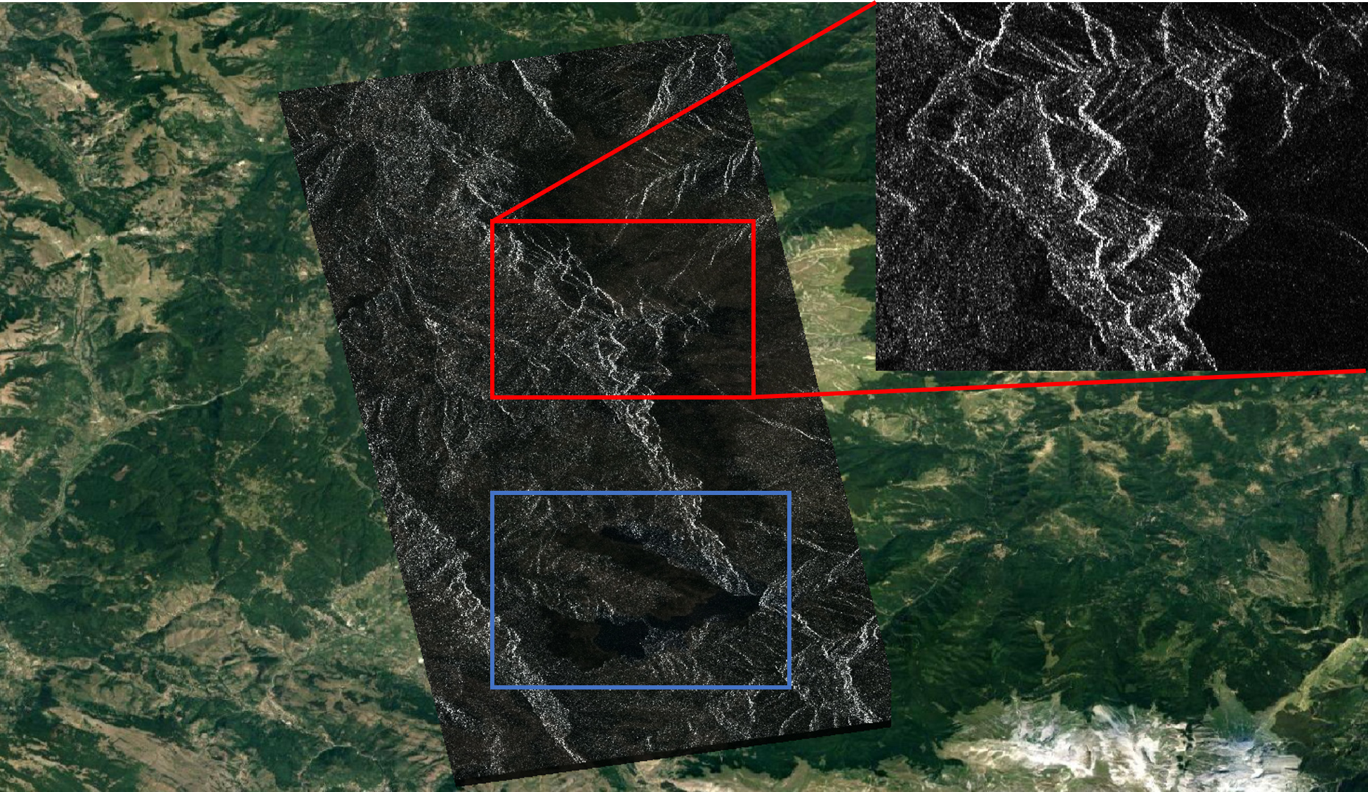
this is the nature of terrain correction. Range Doppler TC uses a DEM to shift pixels at their correct locations, but at the cost of these artifacts, because no image information was collected in areas of foreshortening, overlay and shadow. There is no way to restore these pixels.
Ellipsoid correction assumes a flat surface, but is not able to put image pixels in mountainous areas at their correct location.