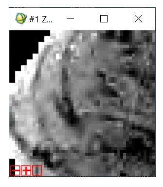
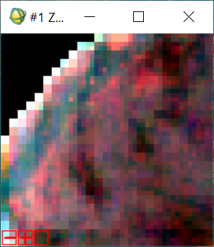
I am working with Sentinel 2 level 1C data for the ocean. I have a problem I can see heterogeneous grey level (light and dark pixel patches) distributions in one image which is different from others.
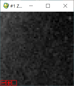
The other images contain a homogeneous ocean area.
Can anyone please explain the reason? Is it due to environmental perturbations like glint or ocean surface wind?
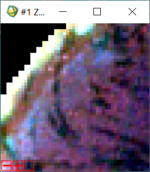
It would be nice if you open the RGBs in SNAP and compare side by side. I do not know the area or date, but changes in water usually mean changes in water quality parameters (chlorphyll, sediments…). It could be many things.
It mat be thin cirrus, or possibly varying return from small surface waves. If you can provide the Tile names and Orbit of the products you are looking at, we can run a quick visual QC on them.
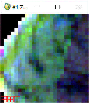
but it doesn’t indicate vegetation (green) instead it denotes just water(blue). My problem is why these results are not consistent? and I guess the indication of ice is not correct as I don’t know about this environment in off Mytilene on May Can anyone please give a comment. Thank you.
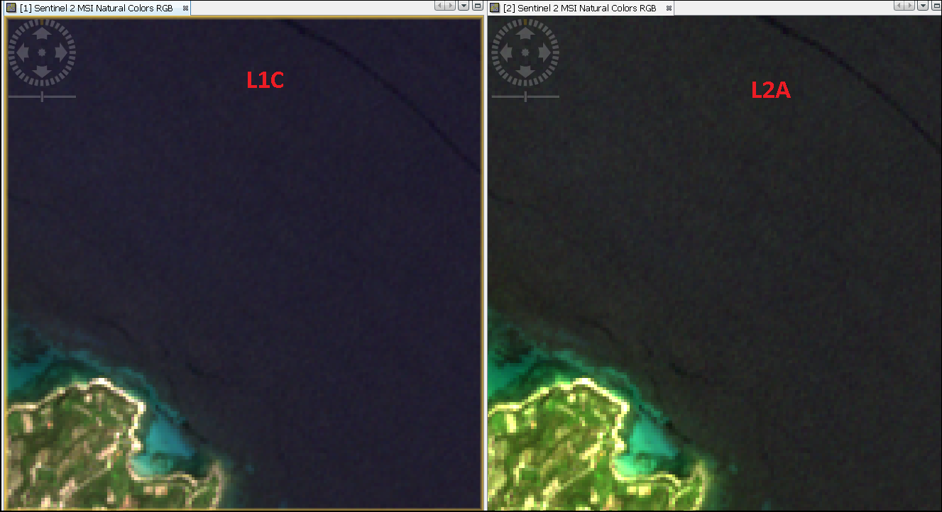
In the image, you can see the L2A is more inconsistent in reflectance - it’s atmospherically corrected, of course - and the presence of a line of water (top right) that has different characteristics to the majority of the sea around it. These are present in large amounts in the image, and disappear when the sea state roughens. So the sea is relatively smooth. However, as the sea makes up a large percentage of the area of the Tile, the default view is quite dark, and any stretching will highlight the small variance between neighbouring pixels.
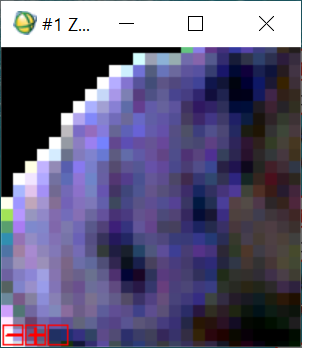
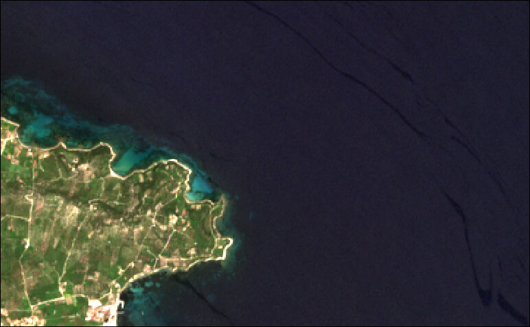
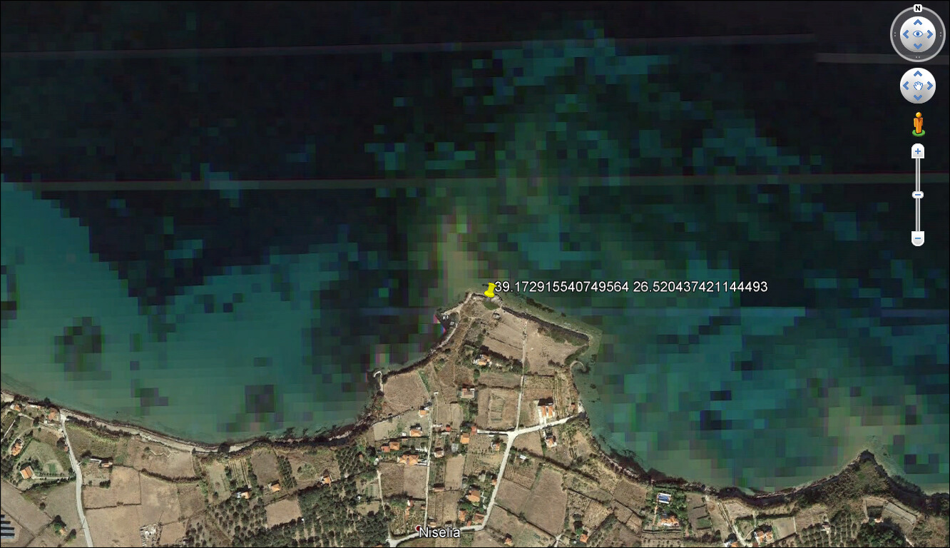
Apropos of nothing, I put here the representation of the sea off Mytilene as visualised in Google Earth…