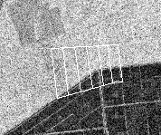
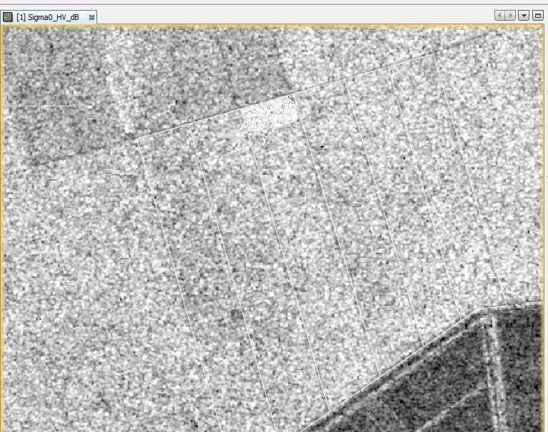
I have ALOS PALSAR-2 level 1.5 data and I did radiometric calibration and speckle filtering steps in SNAP software. Then, I have overlay the vector data on SAR image in SNAP software and it fit to the image (either original SNAP file format or tiff format). However, it does not work well when I display it in ArcGIS, ENVI and any other GIS software. Both vector data and SAR image are using same coordinate system.
SNAP is able to read the geolocation of your SAR product correctly because it makes use of the metadata stored with the Level-1.5 product.
A common GIS cannot do that. You can try to export your product after calibration and speckle filtering to a new product, e.g. GeoTiff.