Please i need advice.
Now i have around 1000 sentinel-1 images (GRD) for two places. I already finished my pre-processing using SNAP. The steps were as follow, Subset, Apply Orbit File, Thermal Noise Removal, Border Noise Removal, Calibration, Multi-looking, Speckle Filtering, and Range Doppler Terrain Correction.
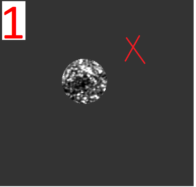
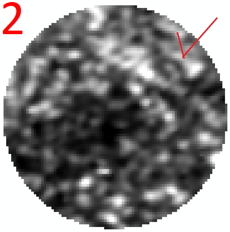
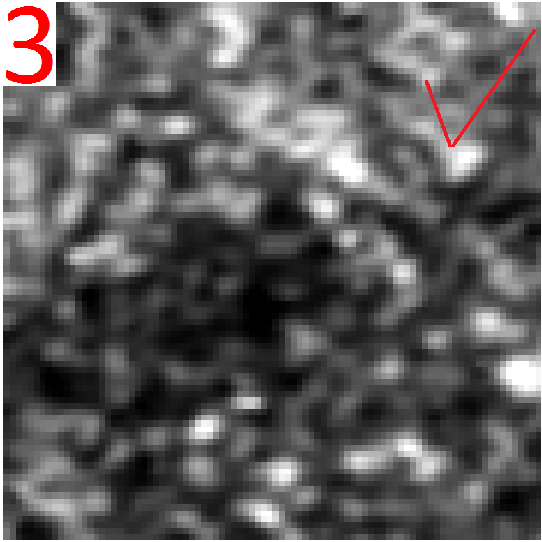
I want to get a area from 1000 images have the same center and the same dimensions whether it is a square or a circle (Like 2 and 3).
I tried to do that by polygon but the output different. (Read - subset - write)
Currently I made a shapefile in arcgis but i don’t know use it in SNAP.
I read some comments for clip raster by shapefile and How do create subset image by vector polygon using S1-toolbox? in this website (like use mask).
But I want the area that represents shapefile (Like image 2 or image 3). I don’t need appear the other area black (NON value) )Like image 1).
What is the perfect method to obtain same area from all images?