I haven’t found the answer yet in the forum or any manual.
Can you subset a GRD product right at the beginning? Before applying orbit file and thermal noise removal? Before calibration?
I have tested in the graph mode and works, but I am wondering if it would be better to apply it at a different processing step? Is it sensitive to the order?
I would say it does not have an impact. Subset does not change pixel values as other processing steps. I usually put it at the beginning of the methodology to reduce processing time (specially if working with a multi-temporal dataset)
Subset in the graph where you apply orbits, calibration and thermal noise removal. It does not matter if the subset-operator is in the beginning or end of the graph.
During my Sentinel-1 GRD processing, I have tried 2 workflows:
1st workflow
Subsetting
Orbital correction
Calibration
Terrain correction
2nd workflow
Orbital correction
Calibration
Terrain correction
Subsetting
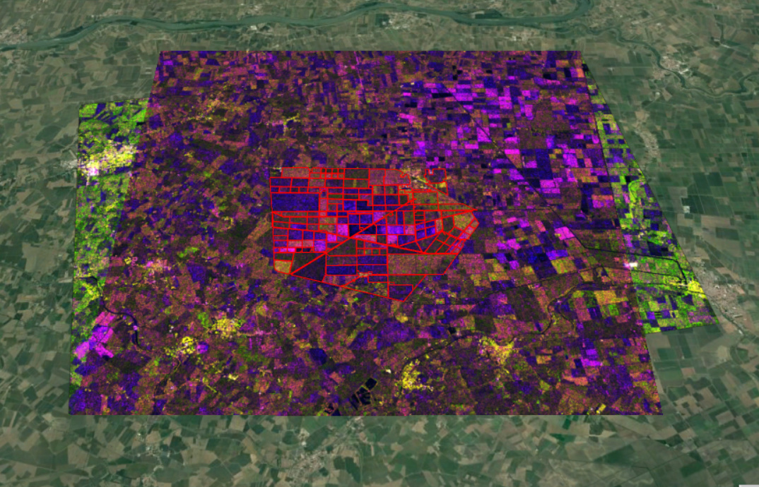
I am getting a different subset area (in terms of extent) in both cases. Can you please tell me why the subsetting before and after terrain correction gives different results? Which one is the recommended method?
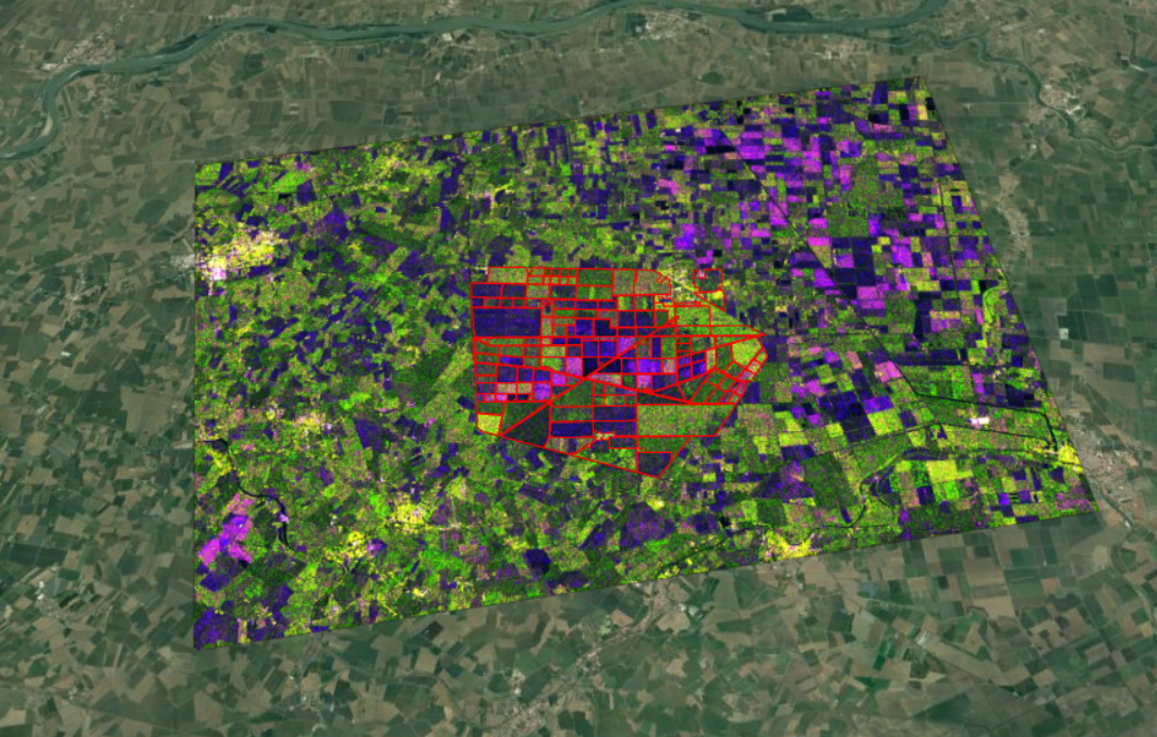
This the image from the first workflow:
The geolocation information present in the radar image (e.g. in form of tie-point grids) is not very accurate. It coarsely tells where which pixel is located. But if you want to have precise geometric correction you should apply the orbit file and terrain correct with a digital elevation model (the better its quality the better is your geometric correction).
Subsetting before terrain correction is not very precise when using coordinates.
The area of interest in this case is only the area marked red. However, I am still keeping some of the surrounding area to avoid any effect on my AOI. So in both of the workflows, there is no effect on this AOI. And I assume the pixel values shouldn’t change either.
Thanks @ABraun for the comments.
One more thing, is there any need of co-registration for GRD products (all of the same pass and same spatial extent) or just creating a stack is sufficient. As per my understanding, co-registration is a stricter requirement for interferometric products.
if your products were acquired in the same orbit and flight direction (ascending or descending), terrain correction and subsequent stacking should be sufficient. If the images are of different geometry, coregistration might be the better choice.