Dear all,
I used two methods over my AOI for pre-processing of GRD Sentinel-1 data and results are presented in image 1 and 2:

Preprocessing steps for image 1:
- Apply orbit file
- Thermal noise removal
- Calibration to beta naught
4. Radiometric terrain flattering - S1 Slice Assembly
Preprocessing steps for image 2:
- Apply orbit file
- Thermal noise removal
- Calibration to sigma naught
- S1 Slice Assembly (as I am interested to bigger area, so I used Slice Assembly to expand my AOI by using two Sentinel-1 images)
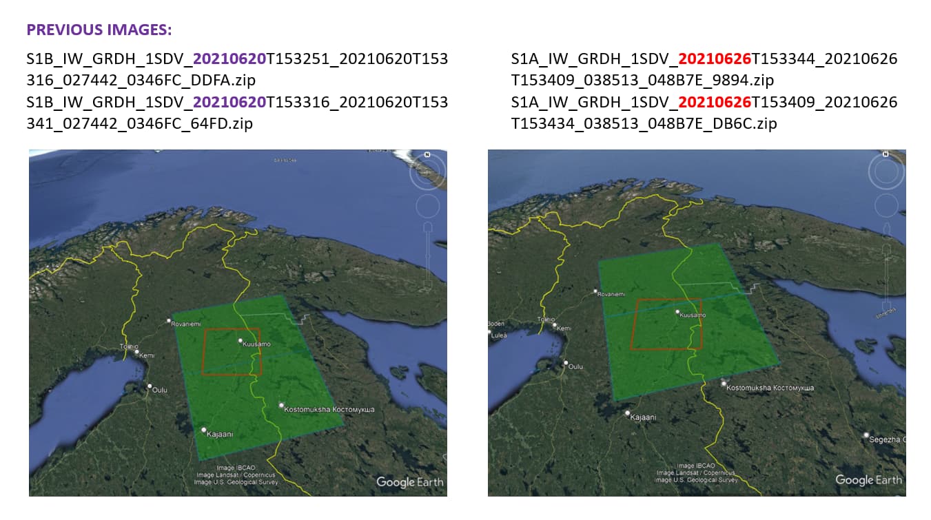
I used same data sets:
S1A_IW_GRDH_1SDV_20210626T153344_20210626T153409_038513_048B7E_9894.zip
S1A_IW_GRDH_1SDV_20210626T153409_20210626T153434_038513_048B7E_DB6C.zip
However, I do not know why I see a white line in image 1 and NOT in image 2? I only applied one more step (4.Radiometric terrain flattering) in ‘Preprocessing steps for image 1’, can this caused this white line problem for me?