greeting! i have checked others discussion regarding this topic but i cant understand, maybe it is because i am new to this application.
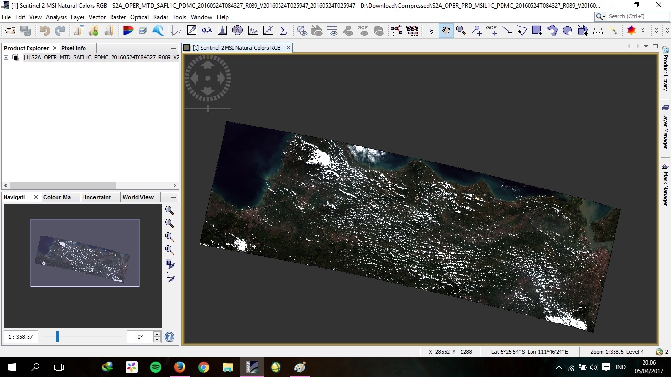
this is my whole scene
thanks for your suggestion, i just checked the “clip raster file using shapefile” thread as u suggest. i havent quite grasp the instruction, so:
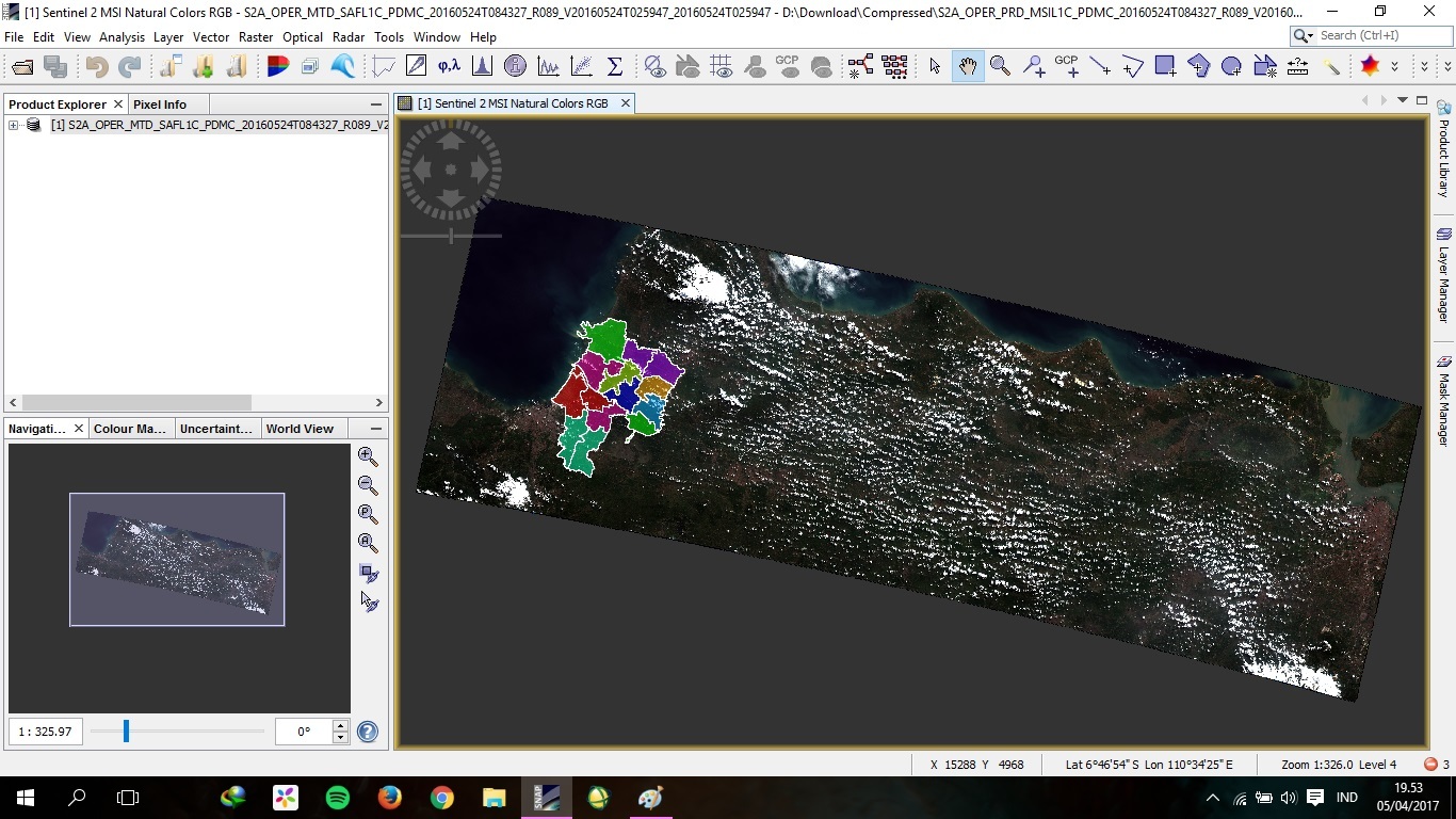
after i have import the file, should i use mosaic command to import the shapefile(??), right click on the geometry and choose ‘WKT from geometry’ to subset/cropping it?
sorry my english is not too good so i have a hard time understanding the instruction, thanks in advance
Hi ABraun,
The land/sea mask operator is doing the work but the flaw is the area outside the shapefile is replaced with NaN values occupying lot of space in the disk. The major purpose of clipping the image is to save the disk space and do processing for the required area.
images are always rectangular. So the outside of your irregular shaped area needs to be filled up with values.
If you want to save disk space you can use NetCDF4. The NaN data is well compressible.
You can also enable compression for BigTiff.
Add to the snap.properties file (in installdir/etc) the following line:
snap.dataio.bigtiff.compression.type=LZW