OK, the objective of my work is to produce a land cover map from the sentinel images.
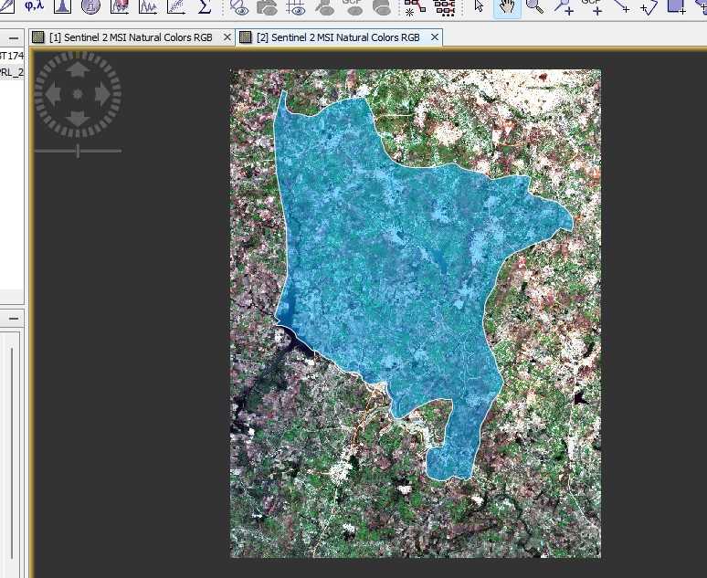
first I cut the grip of my study area according to the scene,
second I extracted the area according to the vector file,
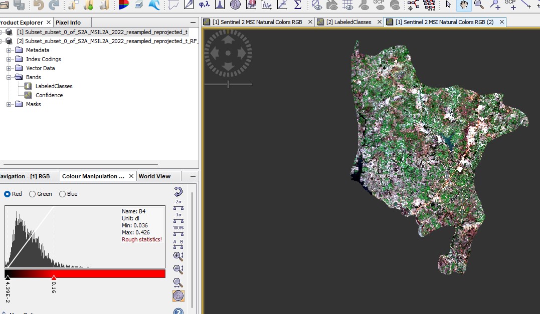
and finally I made the classification according to the training zones.
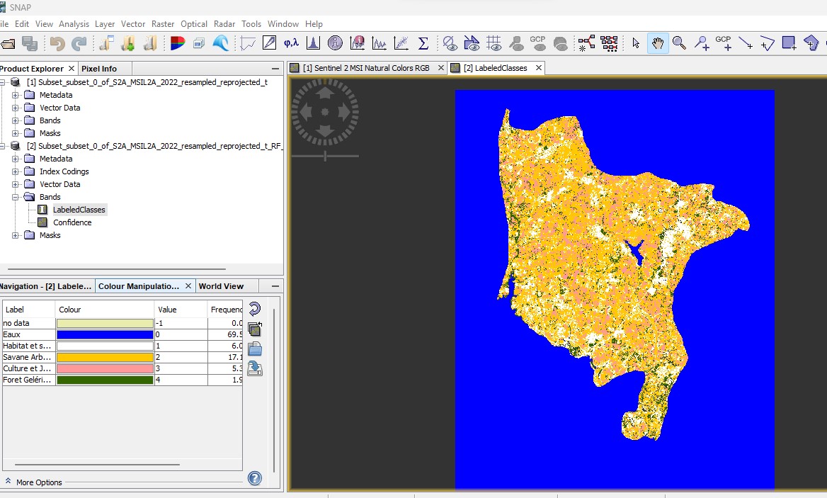
following this, the first class represented by the color blue (water) took into account the cutting of the influence of my study area and I do not know how to solve this problem.
You are using the Random Forest Classification? Maybe it doesn’t consider the no-data value in the source. Maybe the no-data value is zero and the classification is considering this as water.
@lveci Can you check this?
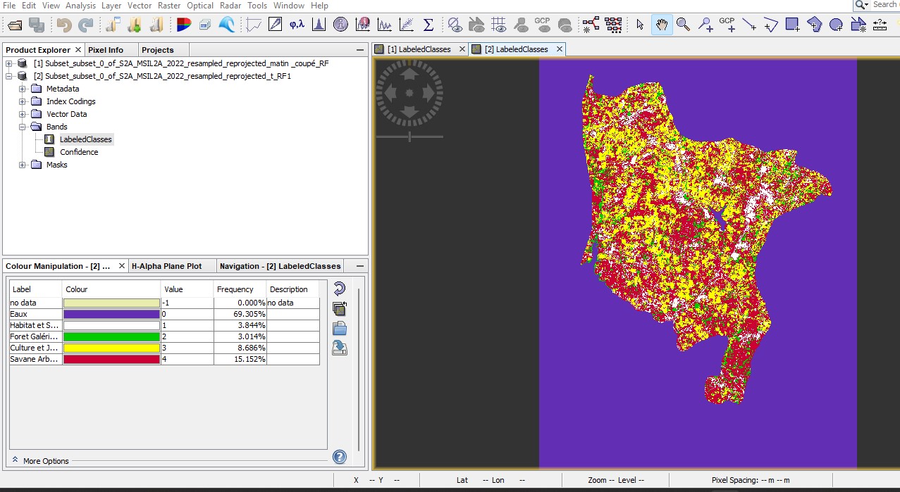
Yes I used random forest classification, the value without data is zero in the classification and the problem is in the water level, normally the water frequency should be low but that is not the case. I don’t know how to solve this problem.
There is now a ticket for this issue: [SNAP-3524] No-data area is classified by Random Forrest - JIRA (atlassian.net)