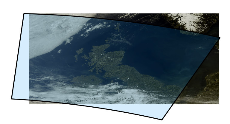
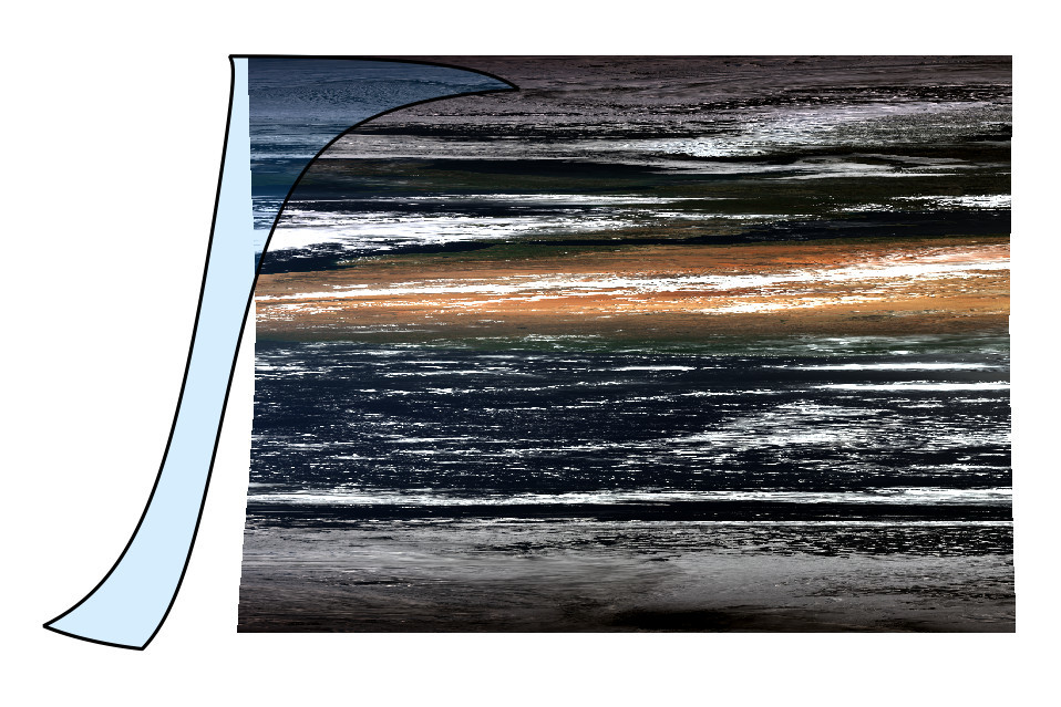
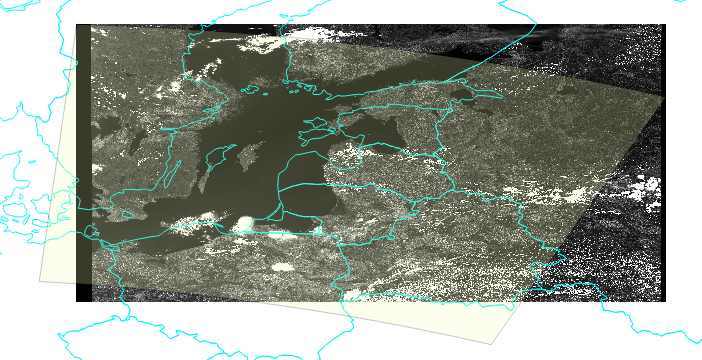
When exporting Sentinel3 OLCI → RGB view to Full Scene GeoTIFF, the georeferencing seems to be far off.
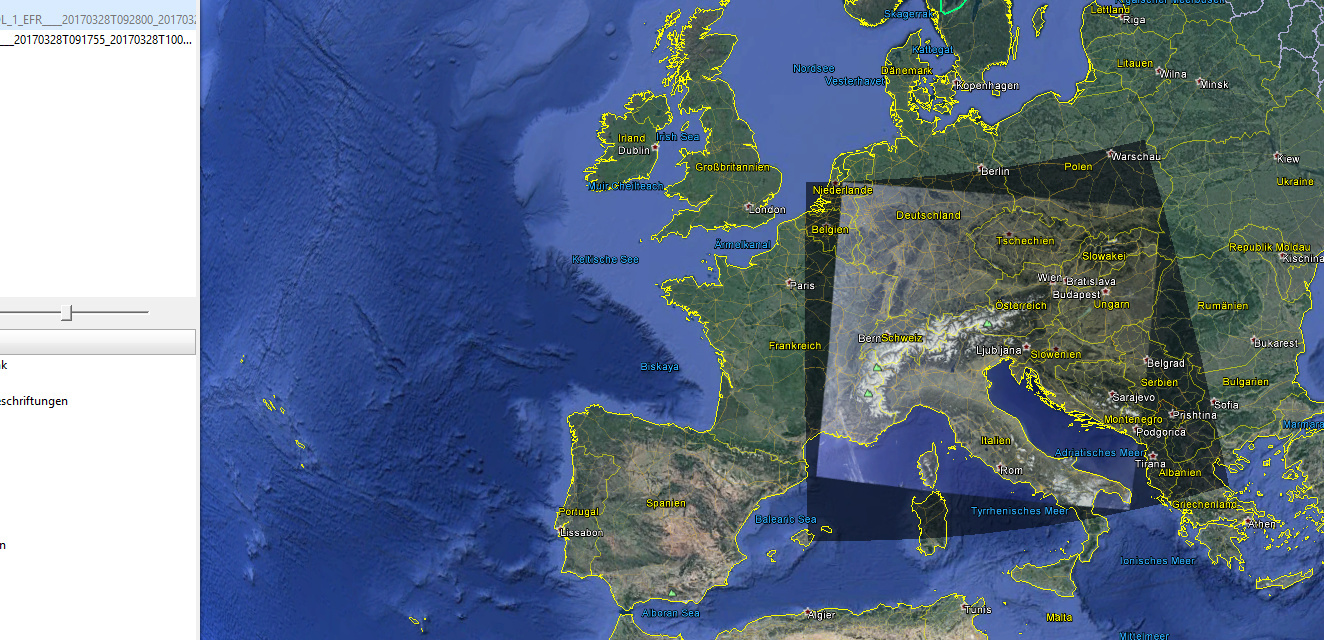
I compared with the Footprint given in the xfdumanifest.xml. I uploaded Screenshots from QGIS including the Footprints.
EFR is somehow in the right place but rotated (maybe that is a projection issue), but ERR is stretched from -5 to 202°.
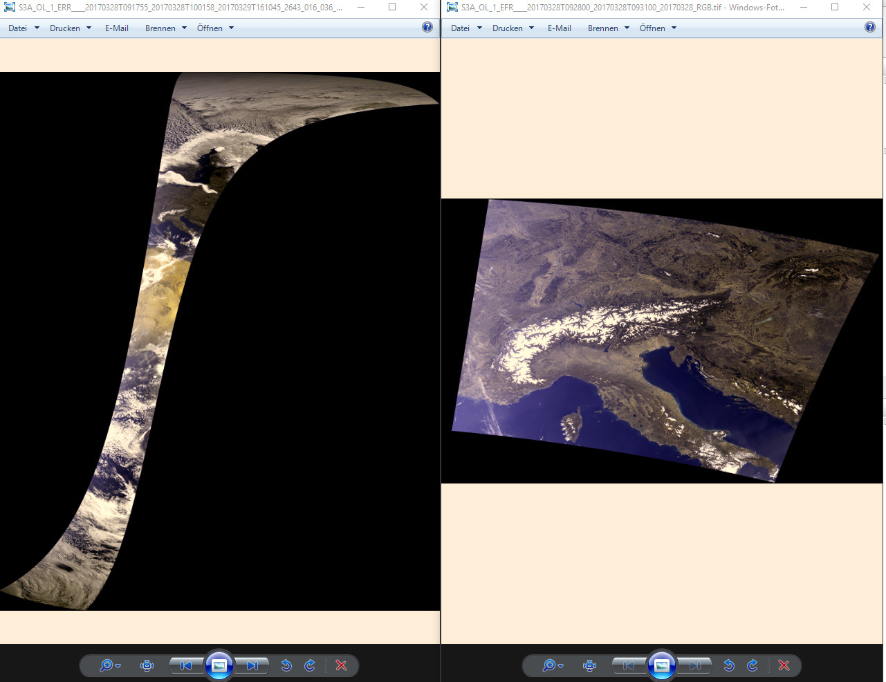
$ gdalinfo RGB.tif [...] Corner Coordinates: Upper Left ( -5.4245711, 86.6952913) ( 5d25'28.46"W, 86d41'43.05"N) Lower Left ( -5.4245711, -65.4526406) ( 5d25'28.46"W, 65d27' 9.51"S) Upper Right ( 202.427, 86.695) (202d25'37.35"E, 86d41'43.05"N) Lower Right ( 202.427, -65.453) (202d25'37.35"E, 65d27' 9.51"S) Center ( 98.5012353, 10.6213254) ( 98d30' 4.45"E, 10d37'16.77"N) [...]
Using pconvert from CLI gives the same output. pconvert -f tif -p tristimulus.rgb -o $OUTPUT_DIR xfdumanifest.xml
Am I missing something or what am I doing wrong?
Thanks a lot in advance.
I’ve used the latest updates SNAP 5.0.
In both cases I first reprojected to WGS_84, then created RGB and exported it using the Export View function. The products I’ve used are from the SciHub
thanks for your Reply. I think I missed the “reproject to WGS84” part. I just created the RGB and exported it.
How can I do that from the CLI using pconvert and/or gpt?