Hi ABraun,
Thanks for your feedback.
It would be nice if this could be fixed in SNAP toolbox or even updated in ASF-MapReady for ALOS 2.
I will try to discover other alternatives.
Cheers
Hi ABraun,
Thanks for your feedback.
It would be nice if this could be fixed in SNAP toolbox or even updated in ASF-MapReady for ALOS 2.
I will try to discover other alternatives.
Cheers
Hi @polybispo did you solve the issue? i’m looking for a similar solution as well.
using SNAP is it possible to find displacement using this data
Satellite=“ALOS2”
Lbi_Sensor=“SAR”
Lbi_ProcessLevel=“1.5”
Lbi_ProcessFacility=“EICS”
For the map projected L1.5 CEOS format ALOS-2. This tiny software might be helpful.
Hope this would help some people using the map projected L1.5 CEOS ALOS-2.
Yup this is working
I tried but still shape file is not overlapping
is it shifted or completely outside the image area?
The first option is due to the fact that Mosaic applies geocoding (as a work-around) but not terrain correction, therefore smaller shifts remain.
The second can be a reason of coordinate reference system of the shapefile (e.g UTM instead of WGS84).
No sir, just slightly shifted.
as I said, mosaic applies geocoding to the image but doesn’t replace terrain correction. Unfortunately, the terrain correction of ALOS Level-1.5 products is not supported in SNAP.
Has anyone tried this?
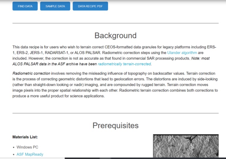
https://asf.alaska.edu/how-to/data-recipes/how-to-terrain-correct-ceos-data/
I have not used the terrain corrected products in the ASF archive, but I use ASF MapReady software to terrain correct ALOS-1 PALSAR data. I have developed my own customised manual for students to do this with ASF MapReady as the software is a little tricky to use; let me know if you would like to see the lab manual.
Hi! Yes I would love to, would you send me?
@alynne.affonso sorry I got really busy with the semester and somehow this email notification skipped my reading. I am attaching the lab manual; please note that it is inspired from ASF MapReady recipes, but we have added much more details and tried to explain each step in our manual.
You will have to download the DEM separately as well. There may be an option in MapReady to auto-download the DEM, you can explore that.
Lab Manual - Terrain Correction on ALOS-1 PALSAR (CEOS) Format Intensity Data using ASF MapReady.pdf (1.7 MB)
Interesting, how did you get around the issue of missing slant-to-ground polynomials in Level 1.5 products?
edit: the answer must be in the sourcecode: GitHub - asfadmin/ASF_MapReady
I have tried this work around but it seems SNAP only allows me to do the mosaic operation on the product before any processing (calibration, speckle filtering etc). And if I try to mosaic then process I get a ‘Input should be a SAR product’ error.
Is there a way to have a processed and properly projected image?!